SPM 05-30-2022: Showers and Storms, Strong Winds on Sunday

Issue Date: Monday, May 30th, 2022
Issue Time: 11:30 AM MDT

Summary:

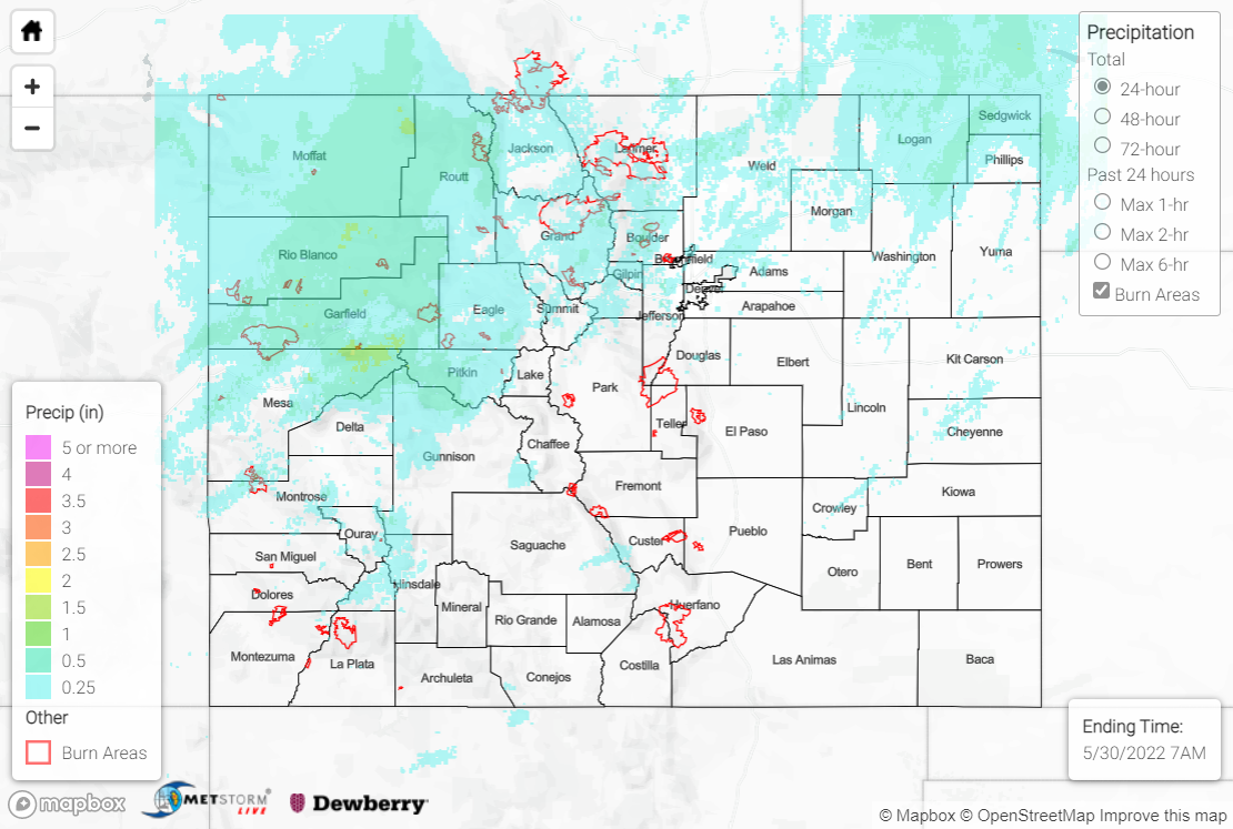
Sunday saw precipitation statewide, with the highest totals across the northern half of the state generally along and north of I-70. An upper-level trough across the western U.S. provided steep lapse rates and modest instability, allowing showers and storms to develop along another front as it tracked southward across the region. There were numerous reports of strong winds and hail associated with the showers and storms, including thunderstorm wind gusts in excess of 60 mph near Alamosa and hail up to 0.75” diameter near Vail and Grand Junction. Below is a video of hail falling just outside of Denver in Lakewood:

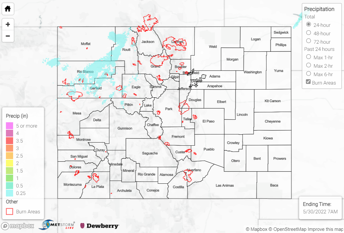
Precipitation totals were generally confined to 0.25-0.50”, although amounts approaching and exceeding 1” were reported by CoCoRaHS observers in Garfield and Routt counties. A maximum of 1.22” was reported near New Castle. Several high elevation locations saw their precipitation in the form of convective snow showers, but totals were light with a maximum of 3.8” reported near Silverthorne.

Sunday also saw a continuation of high winds across the state outside of the thunderstorm activity. A non-thunderstorm wind gust of 83 mph was reported in Gunnison County near Wuanita Hot Springs! Several other non-thunderstorm gusts of 60+ mph were reported. As such, critical fire weather continued with Red Flag Warnings south of I-70.

There was no flooding reported yesterday. For precipitation estimates in your area over the last few days, check out the map below.
Click Here For Map Overview

The map below shows radar-estimated, rainfall gage-adjusted Quantitative Precipitation Estimates (QPE) across Colorado. The map is updated daily during the operational season (May 1 – Sep 30) by 11AM. The following six layers are currently available: 24-hour, 48-hour and 72-hour total precipitation, as well as maximum 1-hour, 2-hour and 6-hour precipitation over the past 24 hour period (to estimate where flash flooding may have occurred). The accumulation ending time is 7AM of the date shown in the bottom right corner. Also shown optionally are vulnerable fire burn areas (post 2012), which are updated throughout the season to include new, vulnerable burn areas. The home button in the top left corner resets the map to the original zoom.

SPM 05-29-2022: Windy Saturday

Issue Date: Sunday, May 29th, 2022
Issue Time: 9:15 AM MDT

Summary:

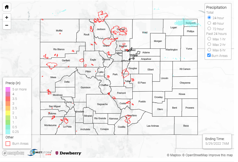
Saturday saw a continuation of high winds across the state, particularly west of the Divide. Non-thunderstorm wind gusts of 55+ mph were reported in Garfield, Moffat, and Rio Blanco counties, including a 62 mph gust near Douglas Pass. Critical fire weather continued as well, given the strong southwesterly winds and low relative humidity. A cool front sagging southward across the state produced rain showers across the Northern Mountains and Northwest Slope, with maximum precipitation amounts of 0.25-0.5”. The rest of the state remained dry.

One notable wildfire was sparked yesterday about 20 miles WSW from La Jara. The Menkhaven fire has currently burned approximately 200 acres, but is not expected to grow.

There was no flooding reported yesterday. For precipitation estimates in your area over the last few days, check out the map below.
Click Here For Map Overview

The map below shows radar-estimated, rainfall gage-adjusted Quantitative Precipitation Estimates (QPE) across Colorado. The map is updated daily during the operational season (May 1 – Sep 30) by 11AM. The following six layers are currently available: 24-hour, 48-hour and 72-hour total precipitation, as well as maximum 1-hour, 2-hour and 6-hour precipitation over the past 24 hour period (to estimate where flash flooding may have occurred). The accumulation ending time is 7AM of the date shown in the bottom right corner. Also shown optionally are vulnerable fire burn areas (post 2012), which are updated throughout the season to include new, vulnerable burn areas. The home button in the top left corner resets the map to the original zoom.

SPM 05-28-2022: High Winds and Severe Thunderstorm Warnings

Issue Date: Saturday, May 28th, 2022
Issue Time: 10:00 AM MDT

Summary:

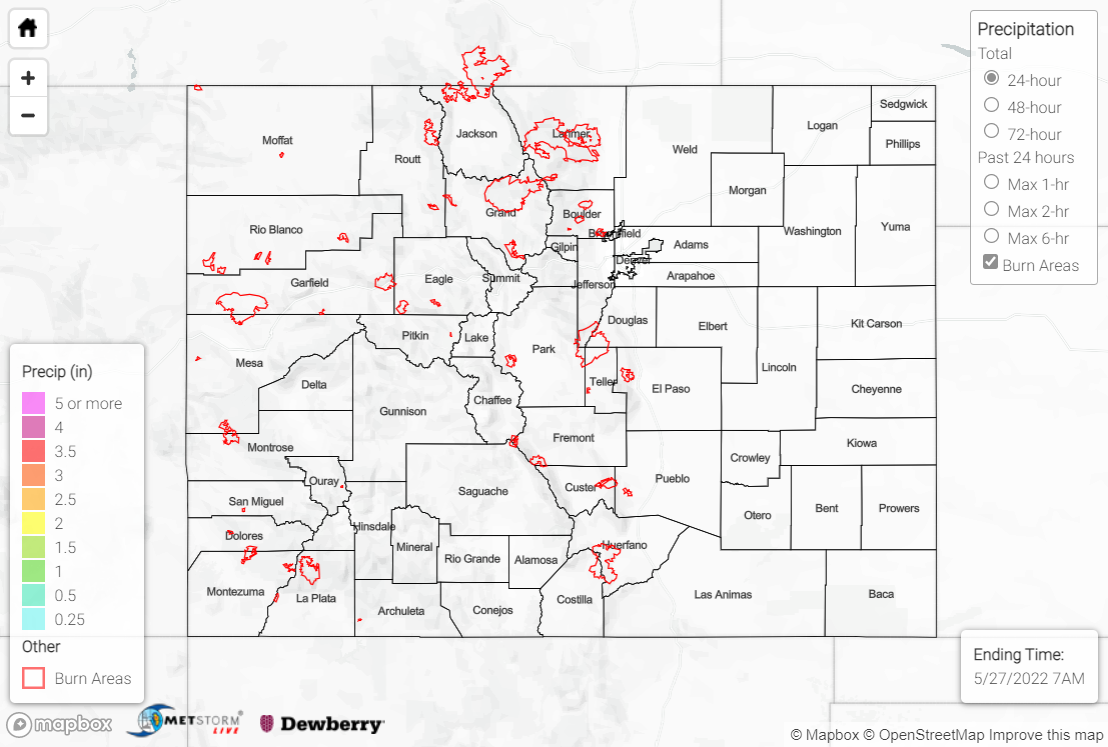
Yesterday saw very little precipitation, with 0.01 – 0.09 inches reported at only a handful of stations across the state. However, there were two severe thunderstorm warnings issued yesterday afternoon, one east of Pueblo and one northeast of Greeley– both places where strong winds were reported. High wind reports came in across Colorado, with most clustered in the central plains near the eastern border of the state, and between Colorado Springs and Pueblo. Gusts ranged from 43-68 mph, the highest being associated with the severe thunderstorm warning in Pueblo.

A Flood Advisory is still in effect for the Green River, but no flooding has been reported. More significantly, Red Flag warnings were issued for the majority of Colorado’s southern counties going into this weekend, particularly due to the high winds we’re seeing.

There was no flooding reported yesterday. For precipitation estimates in your area over the last few days, check out the map below.
Click Here For Map Overview

The map below shows radar-estimated, rainfall gage-adjusted Quantitative Precipitation Estimates (QPE) across Colorado. The map is updated daily during the operational season (May 1 – Sep 30) by 11AM. The following six layers are currently available: 24-hour, 48-hour and 72-hour total precipitation, as well as maximum 1-hour, 2-hour and 6-hour precipitation over the past 24 hour period (to estimate where flash flooding may have occurred). The accumulation ending time is 7AM of the date shown in the bottom right corner. Also shown optionally are vulnerable fire burn areas (post 2012), which are updated throughout the season to include new, vulnerable burn areas. The home button in the top left corner resets the map to the original zoom.

SPM 05-27-2022: Dry Weather Continues

Issue Date: Frisday, May 27th, 2022
Issue Time: 10:00 AM MDT

Summary:

Sunshine continued across the state on Thursday, as Colorado remained precipitation-free for a second straight day. An upper-level ridge centered over the spine of the Rocky Mountains has brought subsidence, clear skies, and warming temperatures to the region.

The Grand Junction WFO issued a Flood Advisory yesterday for portions of the Green River in Moffat County in the far northwestern corner of the state, but the advisory is for the scheduled release of water from the upstream Flaming Gorge Reservoir. Elevated river flows and minor flooding of river-adjacent low-lying areas are the main impacts expected with the dam release.

Several creek and river flows across the state remain above normal, but none are in flood stage.

There was no flooding reported yesterday. For precipitation estimates in your area over the last few days, check out the map below.

Click Here For Map Overview

The map below shows radar-estimated, rainfall gage-adjusted Quantitative Precipitation Estimates (QPE) across Colorado. The map is updated daily during the operational season (May 1 – Sep 30) by 11AM. The following six layers are currently available: 24-hour, 48-hour and 72-hour total precipitation, as well as maximum 1-hour, 2-hour and 6-hour precipitation over the past 24 hour period (to estimate where flash flooding may have occurred). The accumulation ending time is 7AM of the date shown in the bottom right corner. Also shown optionally are vulnerable fire burn areas (post 2012), which are updated throughout the season to include new, vulnerable burn areas. The home button in the top left corner resets the map to the original zoom.