Issue Date: Sunday, May 29th, 2022
Issue Time: 9:15 AM MDT
Summary:
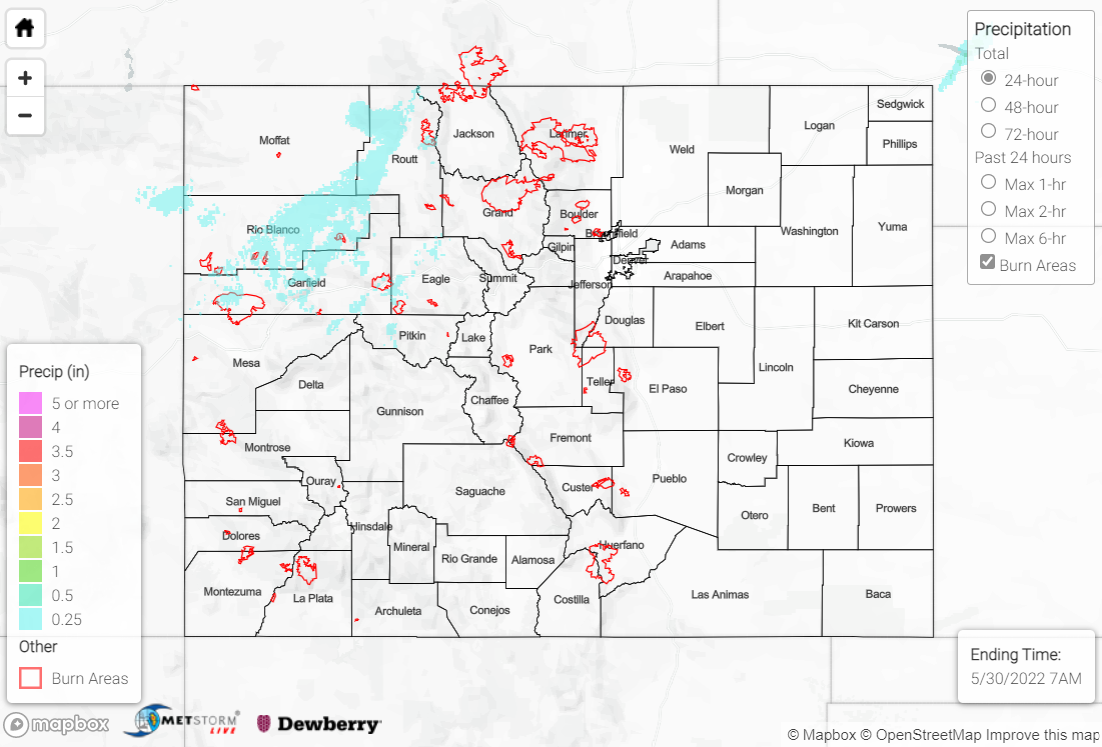
Saturday saw a continuation of high winds across the state, particularly west of the Divide. Non-thunderstorm wind gusts of 55+ mph were reported in Garfield, Moffat, and Rio Blanco counties, including a 62 mph gust near Douglas Pass. Critical fire weather continued as well, given the strong southwesterly winds and low relative humidity. A cool front sagging southward across the state produced rain showers across the Northern Mountains and Northwest Slope, with maximum precipitation amounts of 0.25-0.5”. The rest of the state remained dry.
One notable wildfire was sparked yesterday about 20 miles WSW from La Jara. The Menkhaven fire has currently burned approximately 200 acres, but is not expected to grow.
Colorado: The Menkhaven Fire in Conejos County. Mapped at 200 acres last night this fire moved very quickly through rough ground. Multiple Hotshot crews have been ordered. 📷: Owen Woods/Alamosa Citizen. #wildfire #colorado #fire #cowx #weather #hotshots #MenkhavenFire pic.twitter.com/PNg2pPcRUE
— TheHotshotWakeUp (@HotshotWake) May 29, 2022
There was no flooding reported yesterday. For precipitation estimates in your area over the last few days, check out the map below.
