Issue Date: Saturday, May 28th, 2022
Issue Time: 10:00 AM MDT
Summary:
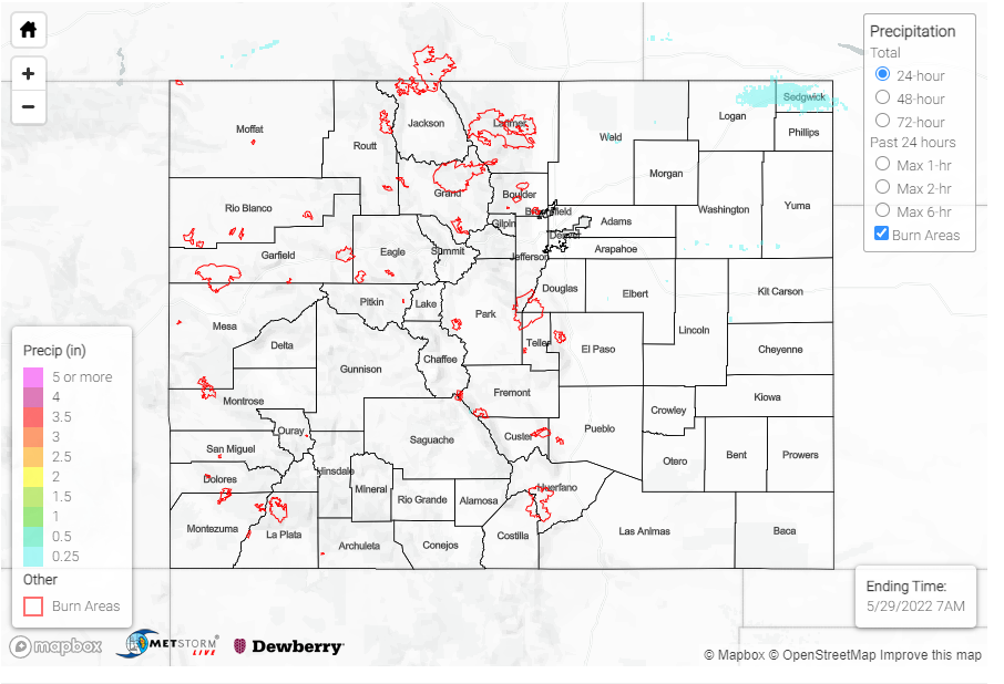
Yesterday saw very little precipitation, with 0.01 – 0.09 inches reported at only a handful of stations across the state. However, there were two severe thunderstorm warnings issued yesterday afternoon, one east of Pueblo and one northeast of Greeley– both places where strong winds were reported. High wind reports came in across Colorado, with most clustered in the central plains near the eastern border of the state, and between Colorado Springs and Pueblo. Gusts ranged from 43-68 mph, the highest being associated with the severe thunderstorm warning in Pueblo.
A Flood Advisory is still in effect for the Green River, but no flooding has been reported. More significantly, Red Flag warnings were issued for the majority of Colorado’s southern counties going into this weekend, particularly due to the high winds we’re seeing.
RED FLAG WARNINGS this weekend in southern Colorado. #COwx pic.twitter.com/BrV5MAGI4A
— Alex O’Brien (@WXAlexOBrien) May 28, 2022
There was no flooding reported yesterday. For precipitation estimates in your area over the last few days, check out the map below.
