Issue Date: Frisday, May 27th, 2022
Issue Time: 10:00 AM MDT
Summary:
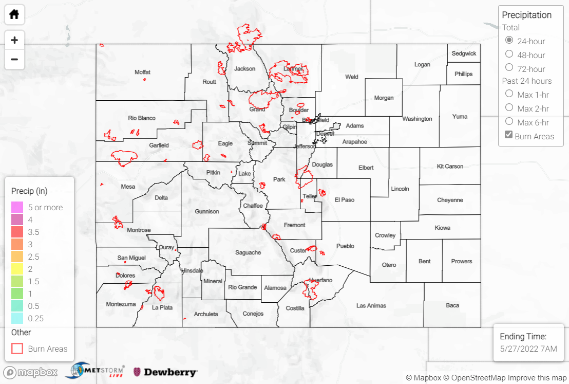
Sunshine continued across the state on Thursday, as Colorado remained precipitation-free for a second straight day. An upper-level ridge centered over the spine of the Rocky Mountains has brought subsidence, clear skies, and warming temperatures to the region.
The Grand Junction WFO issued a Flood Advisory yesterday for portions of the Green River in Moffat County in the far northwestern corner of the state, but the advisory is for the scheduled release of water from the upstream Flaming Gorge Reservoir. Elevated river flows and minor flooding of river-adjacent low-lying areas are the main impacts expected with the dam release.
Several creek and river flows across the state remain above normal, but none are in flood stage.
There was no flooding reported yesterday. For precipitation estimates in your area over the last few days, check out the map below.
