Issue Date: Sunday, September 6th, 2020
Issue Time: 8:20AM MDT
— Flooding is NOT expected today
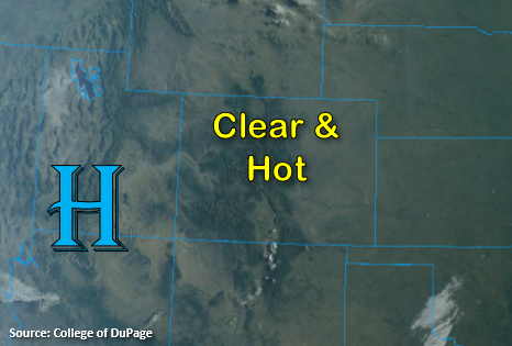
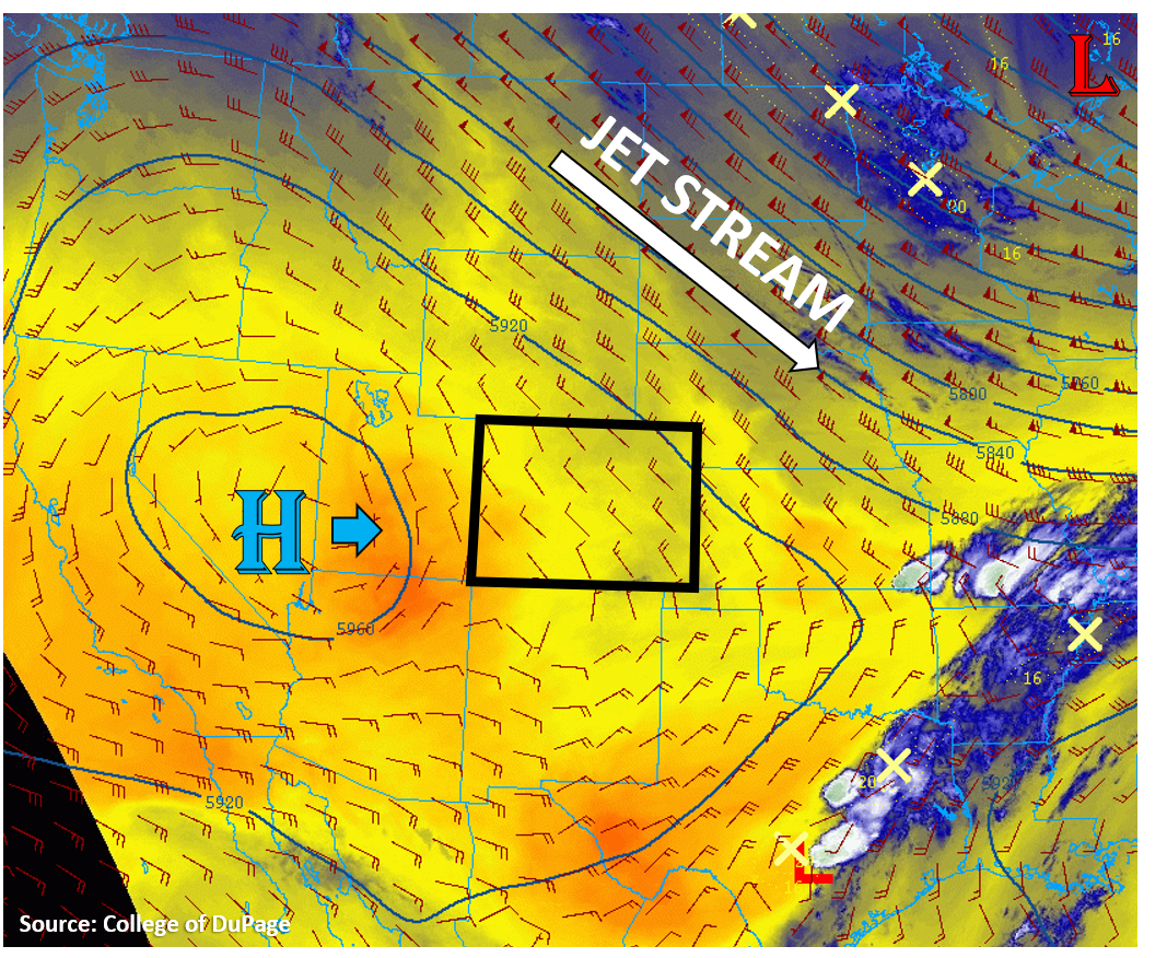
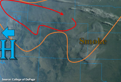
Hot and dry conditions are expected to continue today, but the main difference will be an increase in widespread, critical fire weather. Below in orange is the area with elevated fire weather conditions, and in red is where critical fire weather conditions are expected. Smoke from the Cameron Peak fire can also be noted over the eastern plains below. The ridging pattern will begin to break down with the 500mb High pushed westward as a shortwave passes to our northeast. This will drop the northwest jet south over the northern portion of the state and lee troughing should increase surface wind speeds; especially over the eastern plains. With PW around 0.30 inches and hot temperatures forecast once again, relative humidity values are forecast to be in the low teens and single digits. A Red Flag Warning has been issued for most of northern Colorado. More details can be found from your local NWS office.
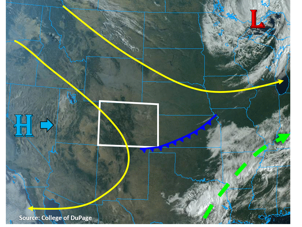
Some isolated, weak showers maybe possible over the southern Front Range/northern Southeast Mountains, but the more likely scenario is just an increase in afternoon cloud cover due to drying from downsloping winds. Therefore, flooding is not expected. The fire danger and warnings continue through Monday evening as the aforementioned strong, cold system dips south and tightens the pressure gradient.
Today’s Flood Threat Map
For more information on today’s flood threat, see the map below. If there is a threat, hover over the threat areas for more details, and click on burn areas to learn more about them. For Zone-Specific forecasts, scroll below the threat map.

Zone-Specific Forecasts:
Front Range, Urban Corridor, Palmer Ridge, Raton Ridge, Southeast Mountains, Southeast Plains, & Northeast Plains:
Hot temperatures are forecast again, similar to yesterday, with little to no afternoon cloud cover helping with the heat. Thick smoke from the Cameron Peak fire may help to keep highs down further north. Expect poor air quality over this area and most of eastern Colorado today. A large Red Flag Warning has been issued through Monday evening. Over the northern Front Range, west winds in the 10 to 20 mph range with gusts up to 35 mph are forecast. Over the adjacent plains, winds will shift from the north. Finally, over Larimer and Boulder Counties, winds will be from the northwest. Please to your local NWS office for the latest and more details. Outside of some cloud cover and possible sprinkles later this afternoon over the southern mountains, rain is not expected.
Grand Valley, Southwest Slope, Northern Mountains, San Juan Mountains, Central Mountains, San Luis Valley, & Northwest Slope:
Another hot day here as well with temperatures similar to yesterday. Virtually no chance for rainfall, but some afternoon fair weather cumulus may form over the mountains. Critical fire weather conditions are expected over the northern portions of these zones. West winds are forecast in the 10 to 20 mph range with gusts up to 30 mph possible. With relative humidity values in the low teens to single digits, a Red Flag Warning has been issued for the lower Colorado River and Colorado River Headwaters. The statewide open fire ban remains in effect.