Issue Date: Saturday, September 5th, 2020
Issue Time: 8:25AM MDT
— Flooding is NOT expected today
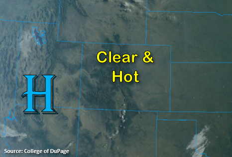
Other than some light cloud cover over the southern border, the visible satellite imagery below shows no clouds over Colorado this morning. PW values are in the 0.41 to 0.46 inch range, and with more drying in the boundary layer anticipated due to westerly flow aloft, conditions should continue to remain dry. There may be another round of isolated, high-based showers over the southern high terrains, but totals should remain below 0.10 inches. This means that no flooding is expected today.
Today’s Flood Threat Map
For more information on today’s flood threat, see the map below. If there is a threat, hover over the threat areas for more details, and click on burn areas to learn more about them. For Zone-Specific forecasts, scroll below the threat map.

Zone-Specific Forecasts:
Front Range, Urban Corridor, Palmer Ridge, Raton Ridge, Southeast Mountains, San Juan Mountains, Southeast Plains, & Northeast Plains:
Sunny today with temperatures on the rise. Highs will likely reach the century tick over the plains with upper 90Fs along the I-25 corridor. In the mountains, expect highs in the 80Fs (valleys) and 70Fs (higher terrains). Over the eastern plains, afternoon, southerly winds may reach about 20 mph providing areas of elevated fire danger. Also, a decrease in near surface smoke is anticipated from the Cameron Peak fire this afternoon (relative to this morning), but some smoke will likely remain. This is especially true in the more upper levels of the atmosphere.
As far as rain, isolated showers are possible over the southern high terrains again, but totals should remain under 0.10 inches. Stronger storms that develop may produce some brief, windy conditions. Increased fair weather cumulus over the mountains should provide a little relief from the heat. Flooding is not forecast.
Primetime: 1:30PM to 7:30PM
Grand Valley, Southwest Slope, Northern Mountains, Central Mountains, San Luis Valley, & Northwest Slope:
It should be clear and dry with an increase in high temperatures again today. The Grand Valley may reach the century mark with 90Fs for the valleys and 80Fs over the mountain valleys. The HRRR smoke is still showing some surface and upper air smoke this afternoon over the northern portion of these zones. Lighter surface winds this afternoon will keep the fire danger lower, although the low relative humidity values and some stronger surface winds along the northern border may created pockets of elevated fire danger.