Issue Date: Tuesday, August 31st, 2021
Issue Time: 9:10AM MDT
— Flooding is NOT expected today
— An Elevated Flood Threat is expected tomorrow
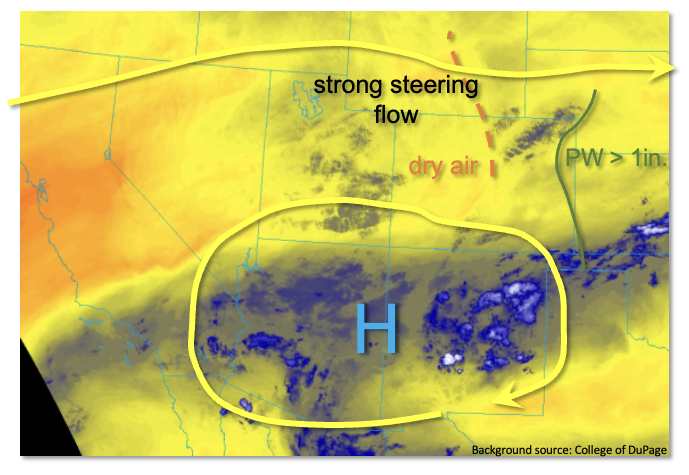
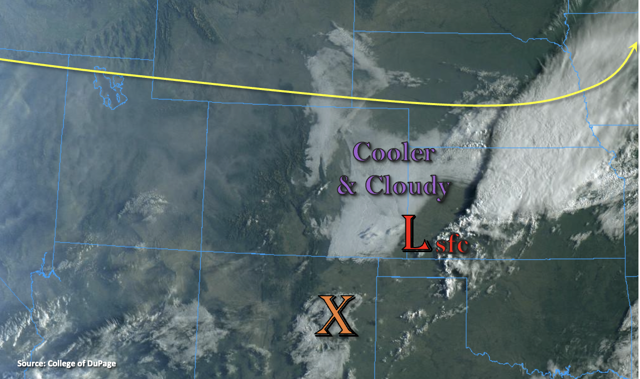
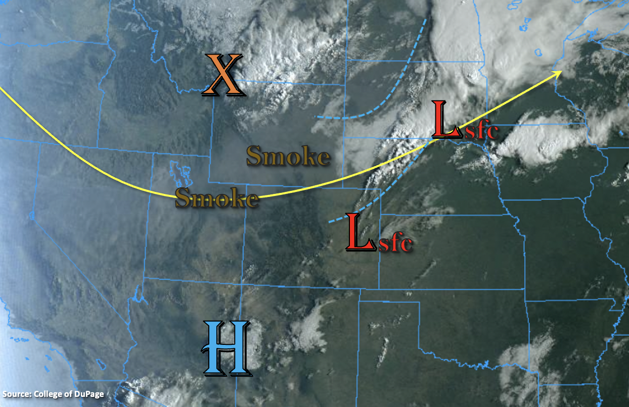
Colorado awoke to mainly clear skies this morning, but as shown in the visible satellite image, below, monsoonal moisture has begun to creep into the Four Corners area overnight. However, it will take about another 24 hours before this actually translates into rainfall. Grand Junction’s morning Precipitable Water (PW) increased to 0.64 inches, but boundary layer moisture remains very low. Meanwhile, Denver’s morning PW is a meager 0.52 inches, with no rainfall expected east of the Continental Divide until later Wednesday afternoon.
For today, mid and high-level clouds will continue to stream into western CO as steering flow slowly turns from westerly to southwesterly/southerly. No rainfall is expected statewide until the overnight hours when isolated to scattered light showers will enter the higher terrain of the western slope. Flooding is NOT expected today, but an elevated flood threat is expected beginning tomorrow.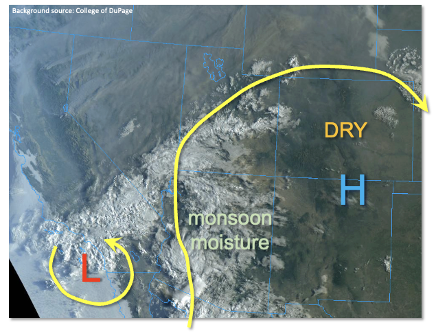
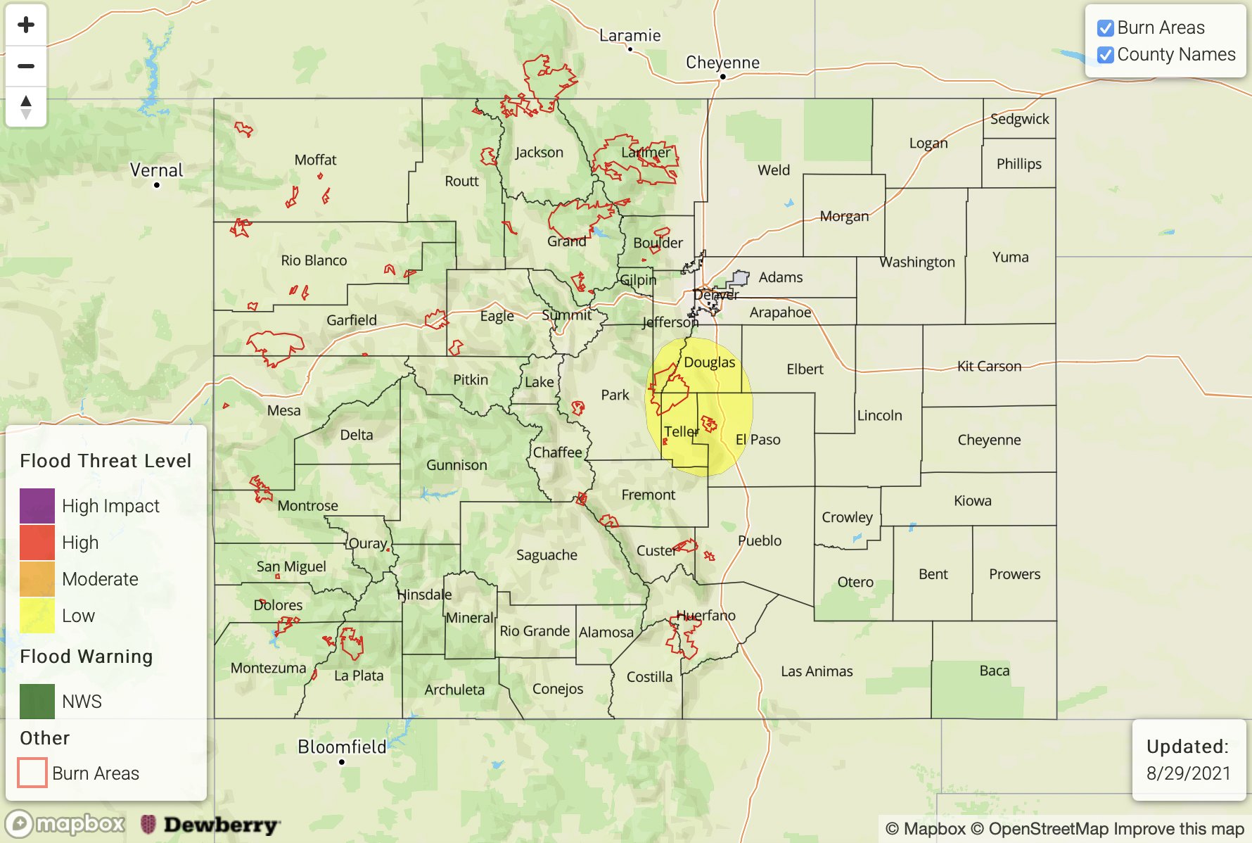
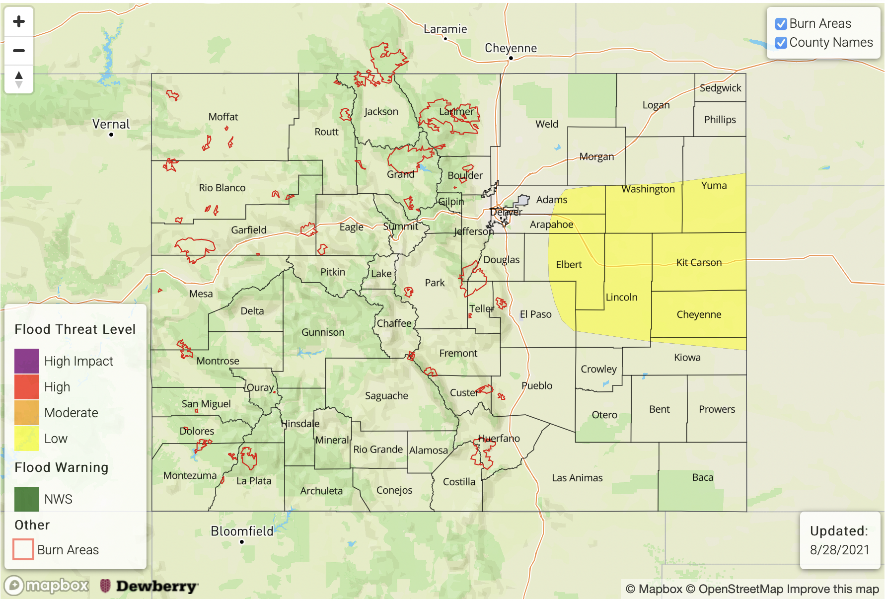
Today’s Flood Threat Map
For more information on today’s flood threat, see the map below. If there is a threat, hover over the threat areas for more details, and click on burn areas to learn more about them. For Zone-Specific forecasts, scroll below the threat map.
Zone-Specific Forecasts:
Grand Valley, Northwest Slope, Central Mountains, Northern Mountains, Southwest Slope, San Luis Valley and San Juan Mountains:
Seasonably warm and dry today with increasing clouds later this afternoon. Isolated-to-widely scattered showers are possible overnight over the higher terrain of the San Juan Mountains. Max 1-hour rainfall 0.25 inches. Flooding is NOT expected today.
Primetime: 1AM to ongoing
Urban Corridor, Palmer Ridge, Front Range, Northeast Plains, Southeast Plains, Raton Ridge and Southeast Mountains,:
Very hot and dry today with some increase in clouds especially in the foothills and higher elevations later this afternoon. Flooding is NOT expected today.