Issue Date: Friday, September 24th, 2021
Issue Time: 9:50AM MDT
— Flooding is NOT expected today
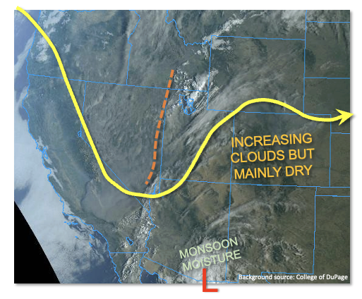
Subsidence and building high pressure should bring another day of mild weather to the state. Marked in the water vapor imagery below (blue) is the cold front that started to move through during the early morning hours. Not much moisture return behind the front, and with PW remaining under 0.50 inches and an increase in dry, northwesterly flow aloft, only cloud cover is forecast over the northern tier of the state. There should be plenty of sunshine elsewhere, so another beautiful day ahead. Surface winds are expected to turn easterly over the eastern portion of the state throughout the day, so slightly cooler temperatures on the magnitude of ~5 degF are forecast. High temperatures are forecast to be around the same as yesterday over western Colorado, so still above average. Without any rainfall anticipated, there is NO flood threat issued.
Today’s Flood Threat Map
For more information on today’s flood threat, see the map below. If there is a threat, hover over the threat areas for more details, and click on burn areas to learn more about them. For Zone-Specific forecasts, scroll below the threat map.

Zone-Specific Forecasts:
Southeast Mountains, Front Range, Urban Corridor, Northeast Plains, Southeast Plains, Raton Ridge & Palmer Ridge:
High should reach the into the upper 70Fs and 80Fs today over the lower elevations with upper 60Fs and low 70Fs for the mountain towns. Outside of some cloud cover over the northwest corner of the state and Front Range this evening, it should be clear day. Flooding is NOT expected.
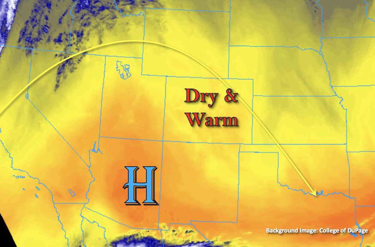
Central Mountains, Northern Mountains, San Juan Mountains, Grand Valley, Northwest Slope, San Luis Valley, & Southwest Slope:
The shortwave from yesterday has already moved into southern Utah this morning. So, there will be a mix of northwesterly and more easterly flow aloft today. With PW remaining around 0.40 inches, rainfall is not anticipated, so there is NO flood threat issued. A few high clouds may be possible over the San Juan Mountains late this afternoon/evening with some upper level moisture. High temperatures should reach into the 80Fs for the valley locations and low 70Fs for the mountain towns.