Issue Date: Tuesday, September 21st, 2021
Issue Time: 9AM MDT
— Flooding is NOT expected today
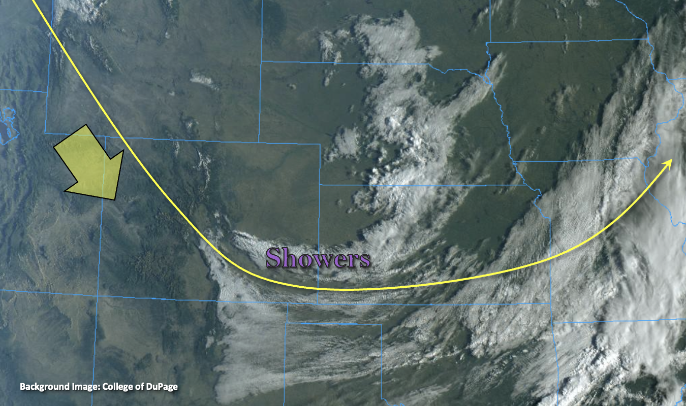
It’s another crisp morning with some light showers over the far Southeast Plains to start the day. Observations also indicate some snow and fog over the Southeast Mountains. Expect gradual clearing of both areas of precipitation throughout the morning. High pressure will continue to build over the state today, and dry, northwest flow aloft will fill in across the state. PW at Grand Junction has already dropped to 0.26 inches, and this dry air can be seen in Denver’s sounding above ~650 mb. This should mix out any remaining surface moisture and help produce clear skies this afternoon over much of the state. Between the dry air overhead and subsidence behind the departing trough, rainfall/flooding is not anticipated. Enjoy another day of cooler temperatures because above average temperatures return to the forecast tomorrow.
Today’s Flood Threat Map
For more information on today’s flood threat, see the map below. If there is a threat, hover over the threat areas for more details, and click on burn areas to learn more about them. For Zone-Specific forecasts, scroll below the threat map.
Zone-Specific Forecasts:
Northwest Slope, Northern Mountains, Grand Valley, San Juan Mountains, San Luis Valley, Central Mountains & Southwest Slope:
Clear start to the day with the dry air overhead. Late afternoon high temperatures should reach the mid-70Fs across the valley locations with 60Fs for the mountain valleys. Rainfall and cloud cover is not forecast today, so flooding is NOT expected. Cold overnight temperatures are expected once again over northwest Colorado and the SLV. Stay tuned to your local NWS office for any potential Freeze Watches/Warnings that may be issued, although currently, it is looking like it will be a little bit warmer than last night.
Southeast Mountains, Front Range, Northeast Plains, Southeast Plains, Urban Corridor, Raton Ridge & Palmer Ridge:
Another day with warm sunshine and a cool breeze; the perfect Colorado day. Highs will reach into the high 60Fs and low 70Fs over the lower elevations with mid-50Fs for the mountain valleys. Current showers should begin to dissipate with a little daytime heating and drying. Outside of some high clouds (southwest), it should be a clear day ahead. Rainfall/flooding is NOT expected.