Issue Date: Thursday, September 23rd, 2021
Issue Time: 9:15AM MDT
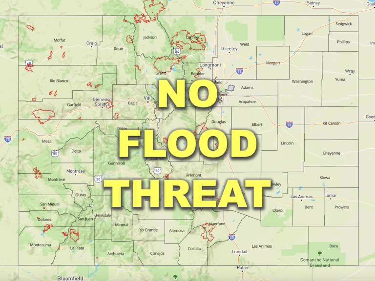
— Flooding is NOT expected today
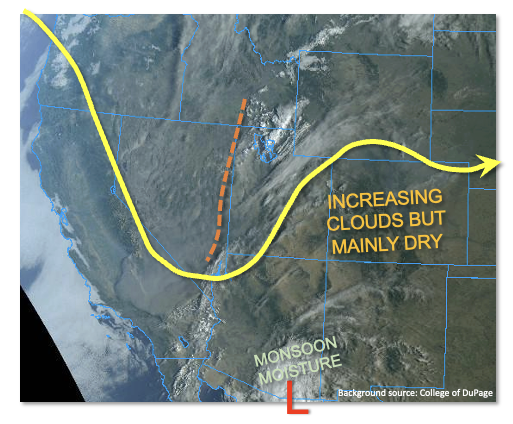
As shown in the visible satellite image, below, a pronounced disturbance is currently moving into the Central Rockies from the northwest. Although it will produce mainly an increase in clouds for Colorado today, it is expected to cut off from the main steering flow by tomorrow. In turn, depending on what exactly transpires with it over the next 3-7 days, it could lead to some more interesting weather for us in the days ahead (see this afternoon’s Outlook for more info).
For today, expect slightly above normal afternoon temperatures along with partly to mostly cloudy skies by afternoon. Isolated, higher-elevation rain and snow showers are possible this evening and into the early overnight hours as some mid-level moisture gets pushed upslope over our Rockies. But very little precipitation accumulation is expected. Thus, there is NO flood threat today.
Today’s Flood Threat Map
For more information on today’s flood threat, see the map below. If there is a threat, hover over the threat areas for more details, and click on burn areas to learn more about them. For Zone-Specific forecasts, scroll below the threat map.
Zone-Specific Forecasts:
Front Range, Northern Mountains, Central Mountains, San Juan Mountains and Southeast Mountains:
Becoming mostly cloudy and seasonably warm with temperatures a few degrees above normal. Isolated rain and snow showers are possible over the higher terrain, mainly above 9,000 feet later this evening and into the early overnight hours. A lucky location could get 0.1 inch of accumulation. Flooding is NOT expected today.
Urban Corridor, Northeast Plains, Southeast Plains, Palmer Ridge and Raton Ridge:
Becoming partly cloudy and warm with high temperatures of 5-10F above normal expected. Breezy conditions are expected for the Northeast Plains later this afternoon as a dry cool front moves southward. However, precipitation and flooding are NOT expected today.
Northwest Slope, Grand Valley, Southwest Slope and San Luis Valley:
Becoming partly cloudy and seasonably warm today with temperatures a few degrees above normal. Flooding is NOT expected today.
