Issue Date: Sunday, September 18th, 2022
Issue Time: 8:55AM MDT
— Flooding is NOT expected today
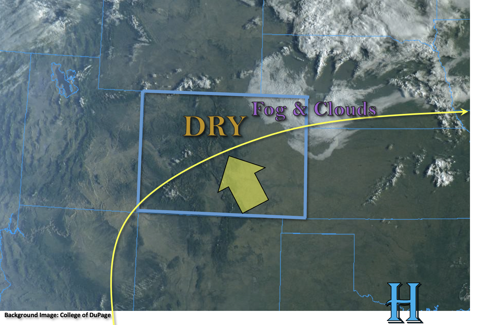
The visible satellite image below shows a mostly clear start to the day with some clouds and fog across the northeast corner of the state. The disturbance and moisture that is causing this will continue weaken throughout the morning, and conditions should become sunny by lunchtime. Dry WSW flow continues to scour out the remaining moisture, and as a result, PW at Grand Junction and Platteville have plummeted to 0.38 inches and 0.41 inches, respectively. With High pressure continuing to build over Texas and Oklahoma today, rising heights across should cause an increase in afternoon high temperatures when compared to yesterday. Between the lack of moisture and increasing subsidence, the state is expected remain dry this afternoon and evening. Best chance for a little bit of rainfall will be over the San Juan Mountains overnight where increasing southwesterly flow may bring a little moisture and mid-level lift to the area. However, only very light rainfall is forecast, so flooding is NOT expected.
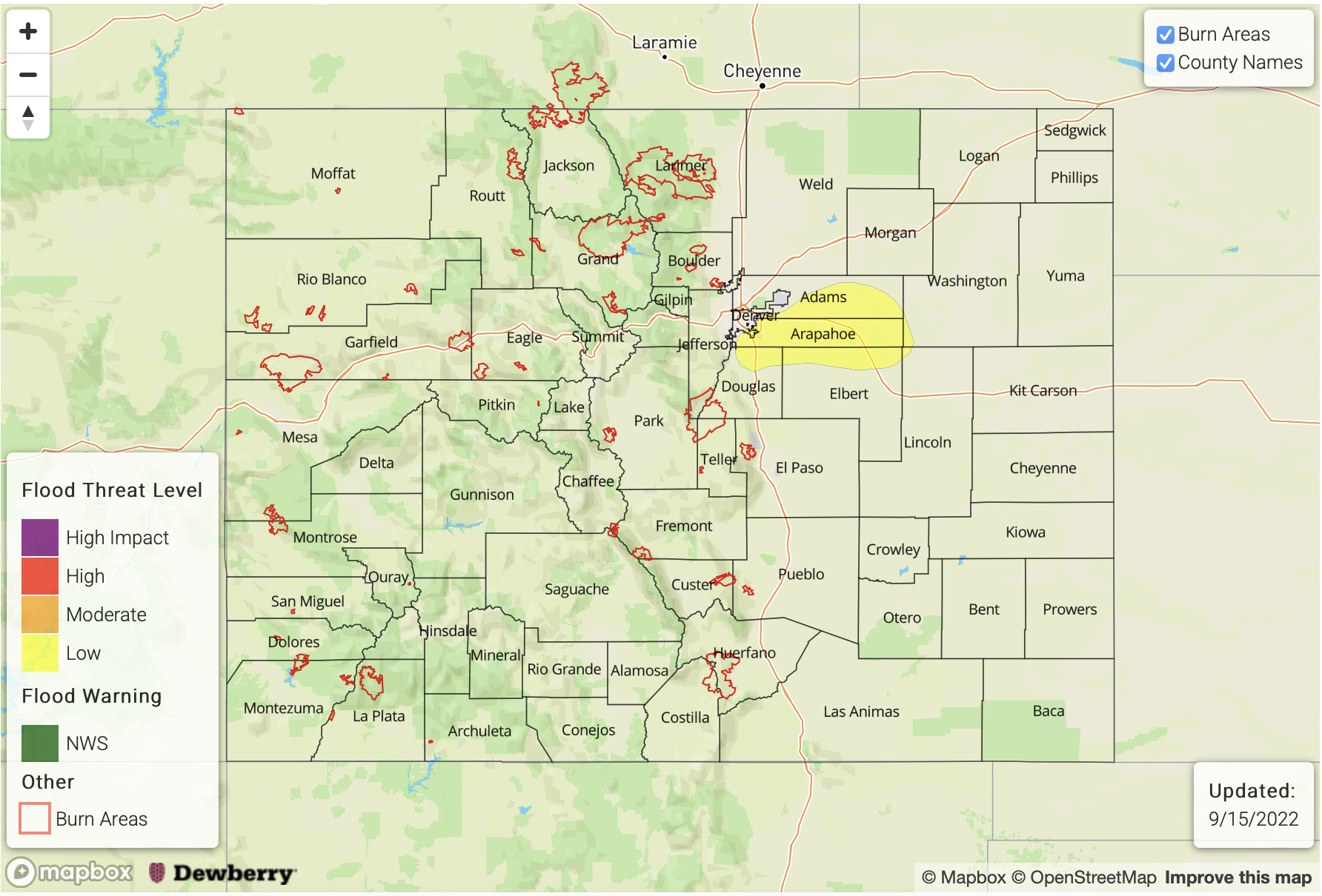
Today’s Flood Threat Map
For more information on today’s flood threat, see the map below. If there is a threat, hover over the threat areas for more details, and click on burn areas to learn more about them. For Zone-Specific forecasts, scroll below the threat map.

Zone-Specific Forecasts:
Northwest Slope, Grand Valley, Northern Mountains, Central Mountains, San Juan Mountains & Southwest Slope:
It will likely get a bit breezy this afternoon with southeast winds forecast in the 15 to 22 mph range. Afternoon temperatures are expected to increase and should reach between 3-6°F above normal. With dry air overhead, rainfall is not anticipated this afternoon, but light rainfall may be possible overnight for the San Juan Mountains. Due to totals remaining under 0.1 inches, flooding is NOT expected, and the increase in cloud cover will likely keep overnight temperature a little warmer.
Primetime: 9PM to 6AM
Front Range, Urban Corridor, Northeast Plains, San Luis Valley, Southeast Mountains, Raton Ridge, Palmer Ridge & Southeast Plains:
It’s going to be hotter today with afternoon temperatures reaching into the 90s °F across the lower elevations. Some fair weather cumulus are possible this afternoon, but rainfall is NOT expected. Westerly winds may get a bit breezy over the higher elevations of the mountain zones this afternoon.