Issue Date: Sunday, May 29th, 2022
Issue Time: 9:30AM MDT
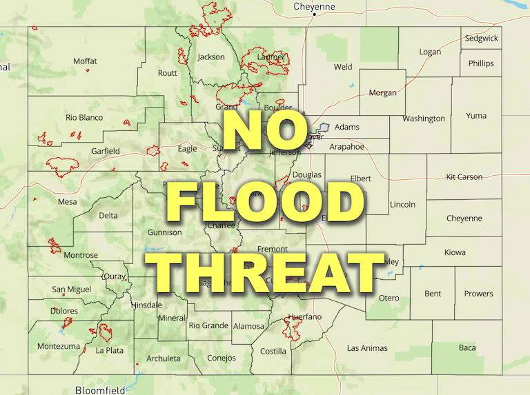
— Flooding is NOT expected today
— Fire-Burn Forecast Summary: 9 burn scars under LOW flood threat; click HERE for more info
— Red Flag Warnings in effect for parts of southern Colorado
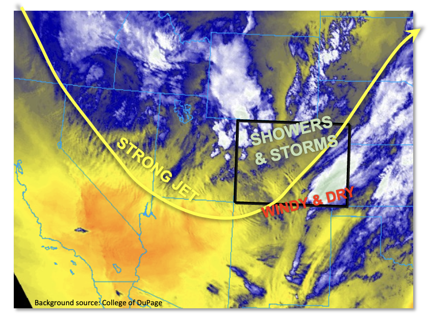
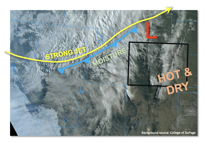
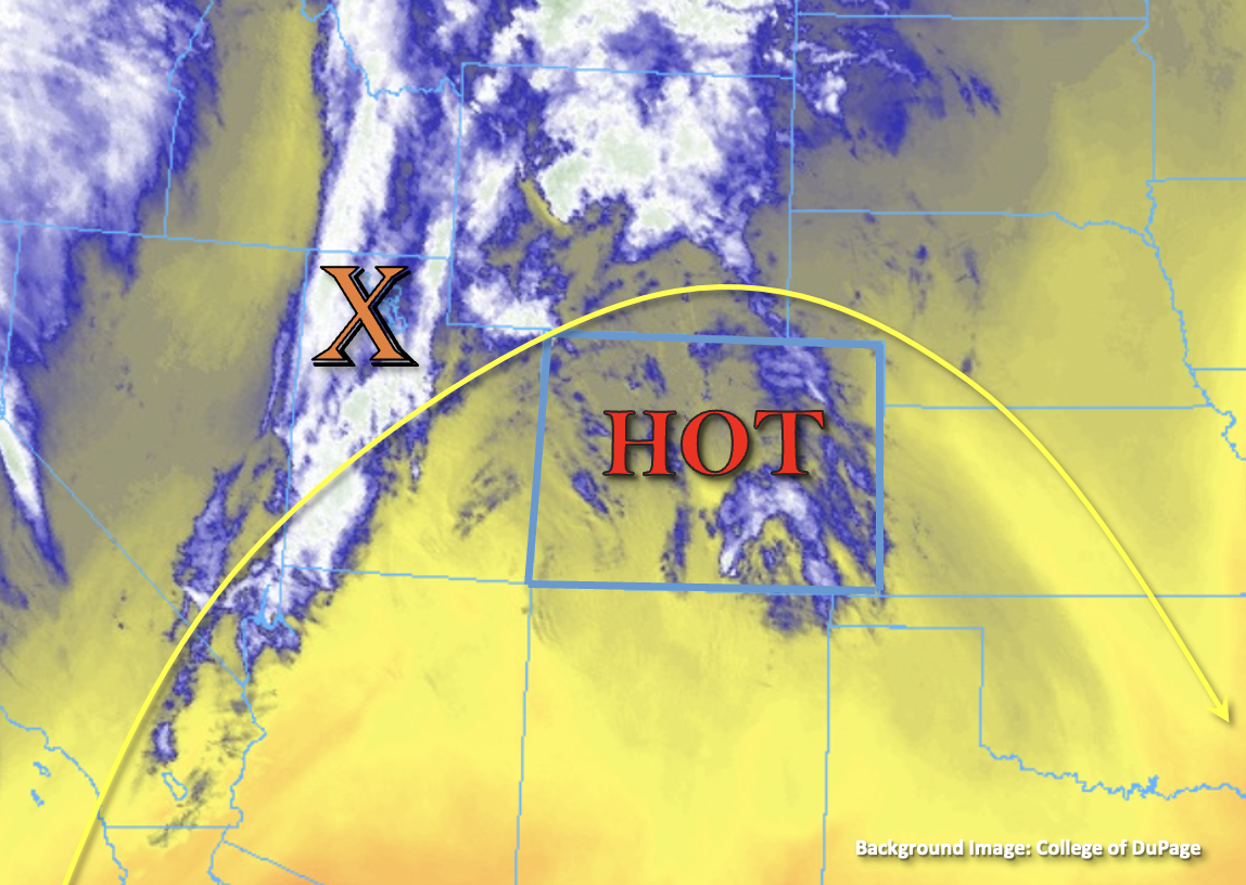
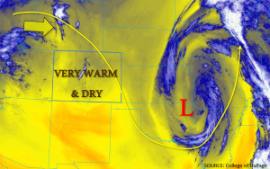
As expected, significant changes have occurred over most of our state since Saturday with the approach of a strong upper-level trough. The trough axis is currently centered over the Great Basin and will move into Colorado through the day. Rain and high-elevation snow showers as well as isolated thunderstorms are ongoing over the Northern Mountains and Northwest Slope as of this writing. With solar heating expected through the breaks in the clouds, instability will approach 1,200 J/kg across mainly central and western Colorado today, fueling widespread to numerous shower and storm activity.
There are two main limitations to the heavy rainfall threat today: moisture and wind speed (and shear). Starting first with moisture, this morning’s PW measured 0.55 and 0.54 inches at Grand Junction and Denver, respectively. While this is certainly respectable, there will be little additional moisture advection into the state today. In fact, there will be some eroding of moisture by drier air especially over southern Colorado (more on that below). Thus, any increase in moisture will have to come from the “top down”. That is, from rain itself. This is a slow process, and PW is expected to top out in the 0.6 to perhaps 0.7 inch range, which is generally on the low side to support heavy rainfall intensity. The other mitigating factor today is the steering flow and wind shear. West-northwest storm steering winds today will exceed 30 mph, which is very high. Moreover, wind shear, by any measure, will be very strong. With only moderate instability available, storms will have a hard time building vertically, which will favor lower storm height and more practically: lower rain intensity. So, to summarize, we certainly expect multiple rounds of moderate to perhaps briefly heavy rainfall (hence, the flood threat over burn areas, see headline link). But the limited duration of high rain intensity does not support flooding today. Thus, flooding is NOT expected.
Lastly, over southern Colorado, the aforementioned dry air and very windy conditions will continue to support Red Flag Warnings. Please use caution with outdoor fires.
Today’s Flood Threat Map
For more information on today’s flood threat, see the map below. If there is a threat, hover over the threat areas for more details, and click on burn areas to learn more about them. For Zone-Specific forecasts, scroll below the threat map.
Zone-Specific Forecasts:
Northern Mountains, Central Mountains, Northwest Slope, Grand Valley, Front Range, Urban Corridor, Palmer Ridge, San Juan Mountains & Northeast Plains:
Partly to mostly cloudy and cooler with multiple rounds of shower and thunderstorm activity expected, especially this afternoon and evening. However, isolated to scattered storms are expected even into the overnight hours. The snow level will vary between 8,000 and 9,500 feet. Max 30-minute rainfall up to 0.8 inches (east) and 0.5 inches (west). Max 1-hour rainfall up to 1.0 inches (east) and 0.7 inches (west) with widespread total precipitation over 1.0 inch expected over the Northern Mountains by tomorrow morning. Flooding is NOT expected today.
A few storms could become severe, especially over the Northeast Plains. The main threat will be damaging winds.
Primetime: Ongoing through the overnight hours
Southeast Plains, Raton Ridge, Southeast Mountains, Southwest Slope & San Luis Valley:
Partly cloudy, cooler and very windy with isolated to widely scattered showers and thunderstorms possible this afternoon. Max 1-hour rainfall up to 0.4 inches. The snow level will range between 9,000 and 10,500 feet. Flooding is NOT expected today.
There are ongoing Red Flag Warnings in effect due to the wind and low humidity expected this afternoon and evening.
Primetime: 12PM through 7PM
