Issue Date: Thursday, May 26th, 2022
Issue Time: 10:20AM MDT
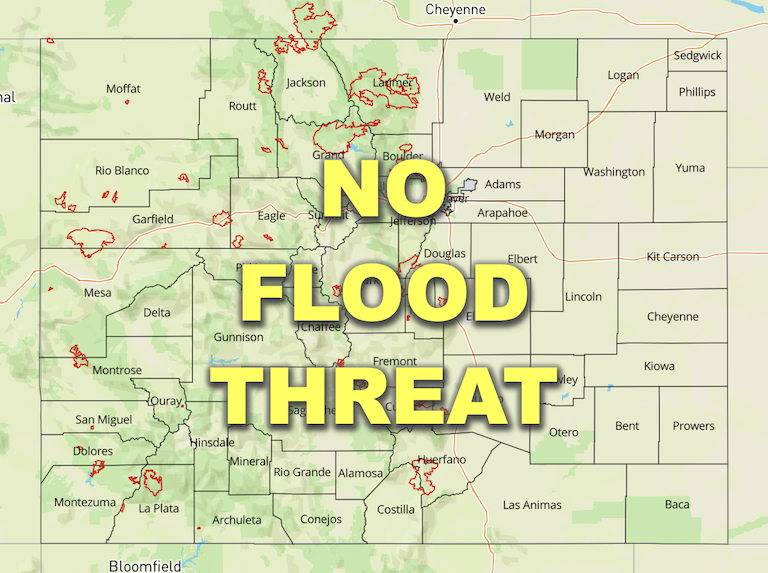
— Flooding is NOT expected today
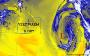
Aside from some light, high cloud cover over the mountains this morning, clear skies to start the day. As the upper ridge builds over the state today, expect dry, calm conditions over Colorado with above-average temperatures nearly statewide. Given that the axis of the ridge will progress eastward throughout the day, as shown by the yellow arrow in the water vapor image below, subsidence and calm surface winds are also forecast. Observed PW values were 0.31 and 0.37 inches in Grand Junction and Denver this morning, respectively, so not much change from yesterday. Lack of moisture and weak upslope flow translates to a nearly zero chance for precipitation today. Therefore, NO flood threat has been issued.
Today’s Flood Threat Map
For more information on today’s flood threat, see the map below. If there is a threat, hover over the threat areas for more details, and click on burn areas to learn more about them. For Zone-Specific forecasts, scroll below the threat map.

Zone-Specific Forecasts:
Front Range, Urban Corridor, Palmer Ridge, Northeast Plains, Southeast Plains, Raton Ridge & Southeast Mountains:
Aside from some fair-weather cumulus today, it is expected to be warm, clear, and pleasant over the eastern half of the state. No precipitation is forecast, so NO flood threat has been issued.
Northwest Slope, Southwest Slope, Grand Valley, Northern Mountains, Central Mountains, San Juan Mountains, & San Luis Valley
Increasing high temperatures and another day of dry conditions can be expected. Incoming mid and upper-level clouds are forecast to cross over the western border later this afternoon. Outside of a few sprinkles being possible over the eastern San Juan Mountains late this afternoon, rainfall is not forecast. NO flood threat has been issued.
