Issue Date: Friday, May 27th, 2022
Issue Time: 9:10AM MDT
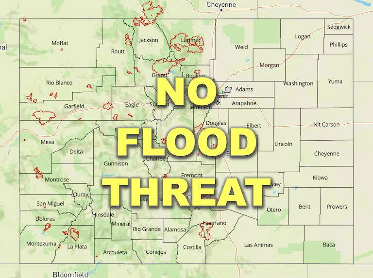
— Flooding is NOT expected today
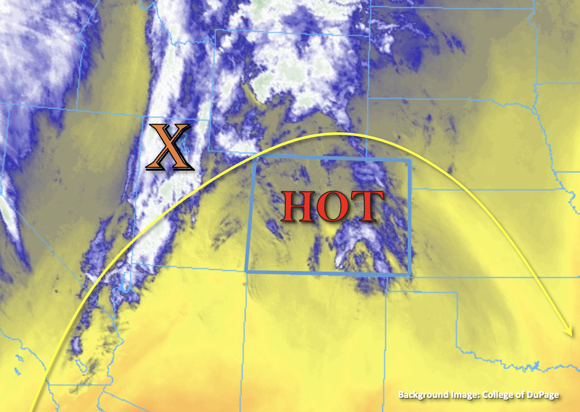
Today will be our statewide peak in heat for the week. With the ridge axis still overhead, afternoon high temperatures are expected to be 4°F to 10°F warmer than yesterday. An incoming cold front is marked by an orange “X” in the water vapor imagery below with a nice dry slot defined behind it. This won’t quite reach western Colorado today, but increasing winds aloft and weak mid-level energy out in front of this feature are expected to move over the state by early this afternoon. This should result in a weakening of the ridge, a little lift and stronger westerly and southwesterly surface winds.
As far as moisture availability, PW has risen slightly to around 0.40 inches at both Grand Junction and Denver. Morning soundings showed most of the moisture was still located in the mid and upper levels. So with the dry sublayer remaining, only isolated, high-based storms are forecast today. With more of a wind than rainfall threat today, especially as storms are steered into the adjacent eastern plains, flooding is NOT expected.

Today’s Flood Threat Map
For more information on today’s flood threat, see the map below. If there is a threat, hover over the threat areas for more details, and click on burn areas to learn more about them. For Zone-Specific forecasts, scroll below the threat map.

Zone-Specific Forecasts:
Front Range, Northern Mountains, Central Mountains, Southeast Mountains, Palmer Ridge, Urban Corridor & Northeast Plains:
It’s going to get hot this afternoon with 80Fs and 90Fs forecast for the lower elevations. Mountain valleys should reach into the upper 60Fs and 70Fs. Isolated, weak storms are forecast to develop over the central and northern high terrains by midday through the afternoon. Isolated locations may see up to 0.20 inches of rainfall, but most storms are expected to produce brief windy conditions and totals under 0.05 inches. As storms are steered east into the adjacent plains, high bases should keep rainfall totals light (under 0.15 inches) with gusts up to 40 mph possible. Flooding is NOT forecast.
Primetime: Noon to 9PM
Raton Ridge, Southeast Plains, San Luis Valley, San Juan Mountains, Northwest Slope, Grand Valley & Southwest Slope:
It’s going to be hot, dry and windy this afternoon for these zones. High temperatures are forecast to reach into the 80Fs for the lower elevations and will likely hit 90F for the Grand Valley. It is likely still too dry for any measurable rainfall north of I-70, but do expect an increase in afternoon cloud cover across all zones. Flooding is NOT forecast.
Flow has increased along the Green River due to releases at Flaming Gorge Reservoir (northwest CO). A Flood Advisory has been issued until next Thursday with minor flooding in low-lying areas possible.
Over southwest Colorado, including the San Luis and Grand Valley, southwesterly surface winds are forecast to reach the 20 to 30 mph range today due to mixing with the increase in winds aloft. Relative humidity will likely drop into the low teens to single digits for this area, so a Red Flag Warning has been issued. Be sure to tune into your local NWS office for more details.