Issue Date: 6/18/2015
Issue Time: 10:13 AM
A LOW FLOOD THREAT IS FORECAST FOR THE FRONT RANGE, URBAN CORRIDOR, PALMER RIDGE, NORTHEAST PLAINS, AND SOUTHEAST PLAINS.
LOW-TO-MODERATE FLOOD THREATS CONTINUE FOR PORTIONS OF THE CACHE LA POUDRE, SOUTH PLATTE, AND ARKANSAS RIVERS.
High-pressure ridging continues to build over the southwestern US, leading to another day of increasing sunshine and decreasing showers/thunderstorms. Drier, warm air aloft continues to work across Colorado from the west, and will limit thunderstorm coverage through this forecast period. Areas along and west of the Continental Divide will be much drier today, with thunderstorms staying confined to the higher terrain of the Central Mountains and San Juan Mountains. East of the Continental Divide is a bit of a different story…
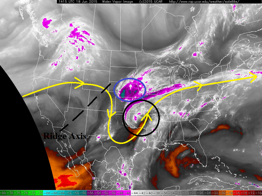
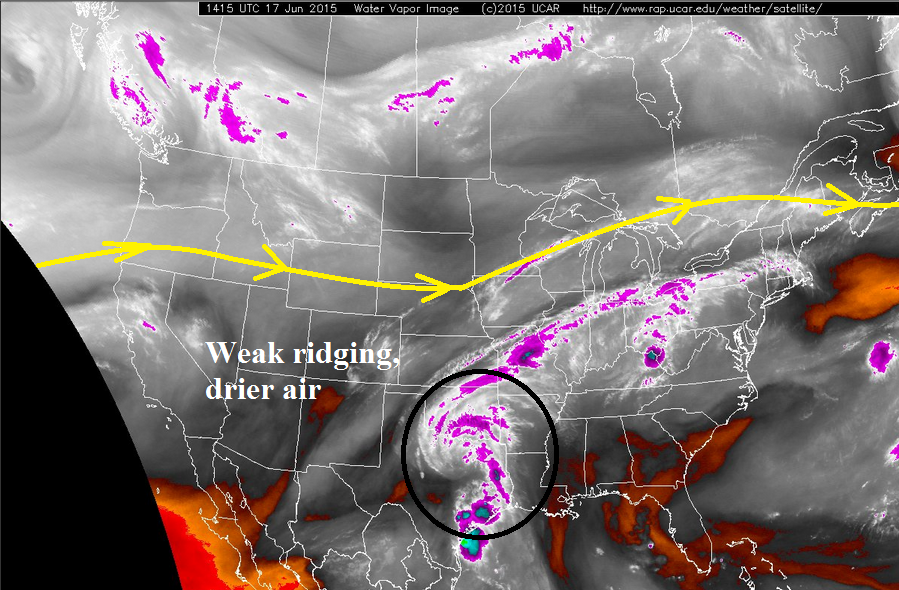
Working against the mid-/upper-level dry air is shallow, low-level moisture across eastern Colorado, currently being reinforced by an outflow boundary from the Mesoscale Convective System (MCS) over NE/KS (circled in blue on water vapor image below). This reinforcement of moisture is working in concert with a lee-side trough that has developed across the eastern plains, backing in moisture and the low-level clouds that currently sit across the Front Range and Urban Corridor. Even so, this moisture is shallow enough that as the day progresses it will mix out somewhat, lowering dewpoints into the 40s across the Front Range and Urban Corridor; this will reduce potential rain rates of isolated thunderstorms in these regions as compared to previous days. Moisture will be more successful at hanging on near the CO/KS border, so maximum rain rates from thunderstorms will still be quite high across the Northeastern Plains, Southeastern Plains, and eastern extents of the Palmer Ridge. With all of that being said, however, today will be warmer and drier overall across Eastern Colorado. Without any real upper-level support, and the warmer air aloft moving across the state, only isolated thunderstorms are expected, with a few growing into a small line of storms across far eastern Colorado later this evening.
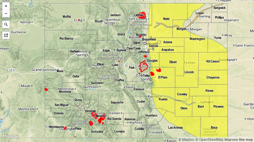
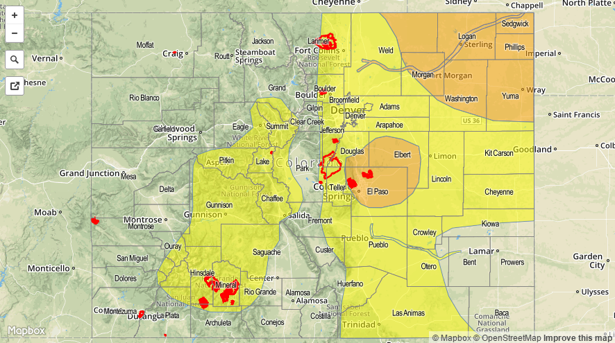
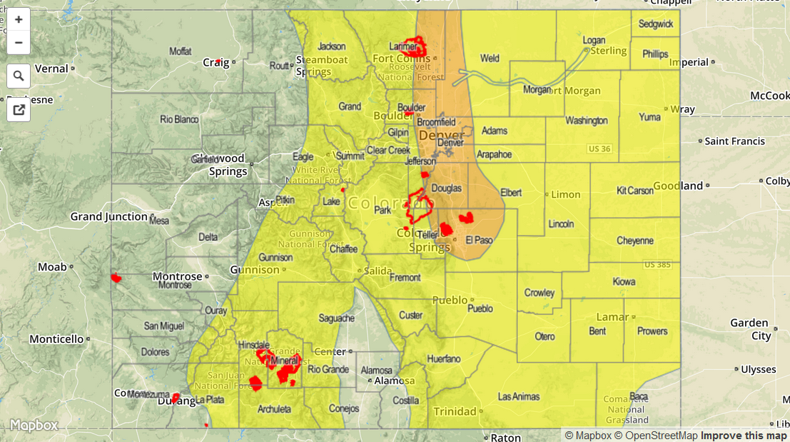
Today’s Flood Threat Map
For more information on today’s flood threat, see the map below (hover over threat areas for more details). For Zone-Specific forecasts, jump below the map.

Zone-Specific Forecasts
Front Range and Urban Corridor:
Mostly sunny and hot, with highs in the upper 80s/low 90s for lower elevations and in the 70s for higher elevations. Isolated showers and thunderstorms will interrupt the pleasant weather this afternoon and evening, resulting in mainly gusty winds and brief moderate-to-heavy rain. Maximum rain rates will be in the 0.6-1.2 inches/hour range, leading to a low flood threat due mainly to antecedent conditions.
Timing: 2 PM – 8 PM, with another round of isolated storms possible between 10 PM and 2 AM as outflow from thunderstorms on the plains backs into the foothills.
Palmer Ridge, Southeast Plains, and Northeast Plains:
Mostly sunny and hot, with highs in the upper 80s and 90s. Isolated thunderstorms are expected this afternoon and evening, with a few continuing until midnight. A few storms will be severe, with the main threats being large hail, damaging winds, and an isolated tornado. Heavy rainfall will also be attendant, as max rain rates will be 2.0-2.6 inches/hour.
Timing: 2 PM – Midnight
Raton Ridge and Southeast Mountains:
Mostly sunny and hot; high temperatures will be some of the highest so far this year. Isolated showers and thunderstorms are expected this afternoon, resulting in mainly gusty winds and lightning. Maximum rain rates will be 0.4-0.7 inches/hour.
Timing: 1 PM – 8 PM
Northern Mountains, Northwest Slope, Central Mountains, Grand Valley, San Luis Valley, Southwest Slope, and San Juan Mountains:
Mostly sunny and hot, with highs in the 80s for the valleys and into the upper 40s and 50s in the mountains. Very isolated thunderstorms will develop this afternoon over the Central Mountains and San Juan Mountains, but otherwise, not much break in the summertime heat today. Locally gusty winds, lightning, and light rain will be the main threats from any activity today.
Timing: Noon – 8 PM