Issue Date: Tuesday, June 21st, 2016
Issue Time: 10:15AM MDT
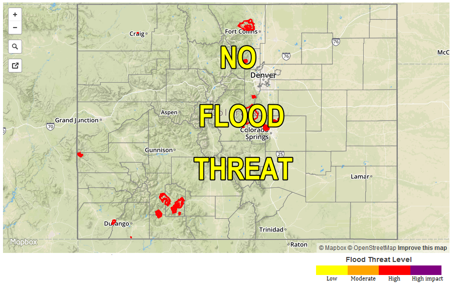
— Flooding is NOT expected today
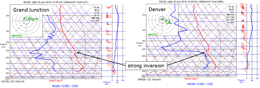
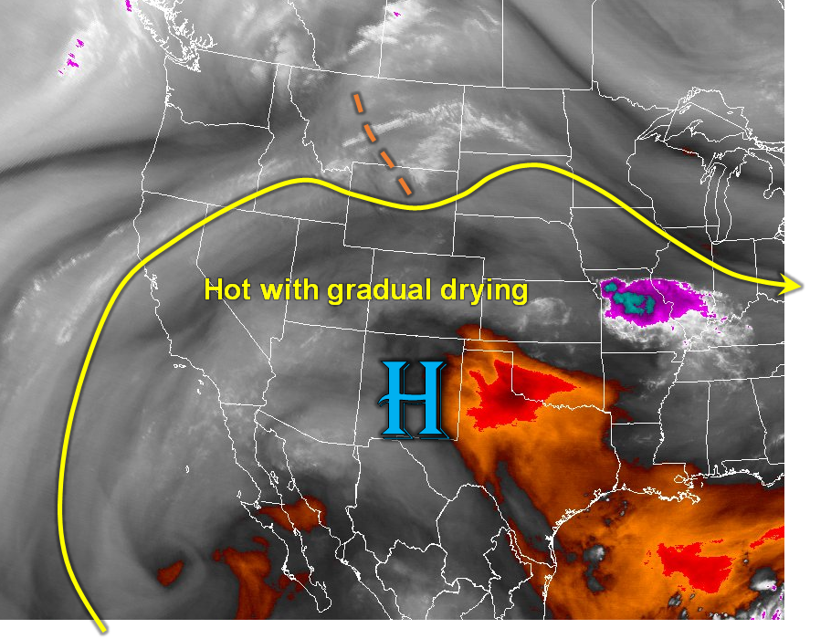
Today’s weather setup features plenty of residual moisture that has been trapped by the inversion. Morning Precipitable Water values range from 0.5 to 1.1 inches across the state. However, the moisture is rather shallow, and air above the boundary layer is noticeably drier. The Rocky Mountain ridge (see water vapor image below) is centered over New Mexico today placing Colorado in an area of subsidence aloft. Furthermore, despite the residual low-level moisture, surface flow will have a westerly component across most of the state. This implies downsloping east of the Continental Divide, which is not conducive for rainfall. Nonetheless, like on Monday, the high terrain will create its own circulation and scattered to isolated thunderstorms are expected across the southern and southeastern mountain regions. A brief heavy downpour is possible, but a flood threat is not warranted today.
Very hot temperatures, the highest of the young summer for many locales, will accompany the ridge circulation. Afternoon highs could exceed 105F along the lowest elevations of the Colorado, South Platte and Arkansas River valleys. An elevated wildfire threat will exist across the higher terrain, especially in regions with thunderstorm activity (because of dry lightning).
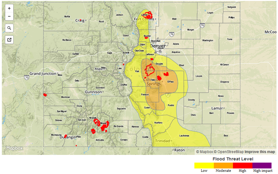
Today’s Flood Threat Map
For more information on today’s flood threat, see the map below (hover over threat areas for more details). For Zone-Specific forecasts, scroll below the map.
Zone-Specific Forecasts:
Urban Corridor, Northeast Plains, Palmer Ridge, Southeast Plains, Southeast Mountains, Raton Ridge, Front Range:
Mostly sunny and very hot with high temperatures well above seasonal normal. A high-elevation thunderstorms are possible especially in the central and southern parts of the state. Max 10-minute rainfall up to 0.4 inches will be possible, but max 1-hour rainfall will stay below 0.7 inches and a flood threat is not warranted. Primetime for storms will be during peak heating, from 1pm to 8pm. There is an elevated wildfire risk today, especially due to dry lightning.
San Juan Mountains, San Luis Valley, Northern Mountains, Grand Valley, Northwest Slope, Southwest Slope, Central Mountains:
Sunny and continued very hot today with above average temperatures as high as 105F possible in the lower elevations of the Grand Valley. Isolated to scattered weak thunderstorms will be possible in the San Juans and Central Mountains, but 24-hour rainfall will stay below 0.5 inches. Flooding is not expected today. There is an elevated wildfire risk today, especially due to dry lightning.