Issue Date: Tuesday, May 23rd, 2017
Issue Time: 8:30AM MDT
— Flooding is NOT expected today
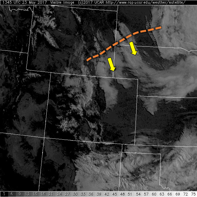
This morning’s visible satellite imagery shows a mostly clear start for nearly all of Colorado. The exception is a few bands of low/mid-level clouds across the Northeast Plains. This is actually associated with yet another disturbance that is rotating around the central United States trough that was described yesterday. Fortunately, today’s disturbance is significantly weaker than the past few days, and in fact will be weakening further throughout the day. In addition, the atmosphere is drier today with precipitable water values less than 0.5 inches statewide. While the aforementioned disturbance will graze mainly eastern Colorado with some light showers, partly to mostly sunny skies are expected for everyone else. Thus, no flood threat today.
Today’s Flood Threat Map
For more information on today’s flood threat, see the map below (hover over threat areas for more details). For Zone-Specific forecasts, scroll below the map.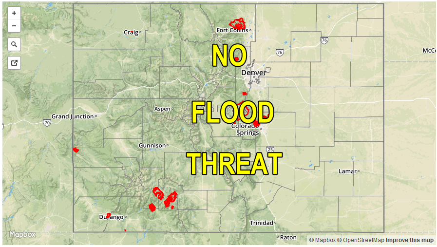
Zone-Specific Forecasts:
Raton Ridge, Southeast Mountains, Southeast Plains, Palmer Ridge, Northeast Plains, Front Range, Urban Corridor:
Mostly sunny this morning, then increasing clouds with isolated to scattered showers possible, mainly across eastern areas. Max 1-hour rain rates up to 0.2 inches. Flood is not expected today.
Primetime: 1PM to 6PM
San Juan Mountains, Southwest Slope, Grand Valley, San Luis Valley, Northwest Slope, Northern Mountains, Central Mountains:
Mostly sunny with warmer temperatures. An isolated rain/snow shower is possible in the Northern Mountains this afternoon, though less than 0.05 inches of precipitation is expected. Flooding is not expected today.
Primetime: 1PM to 5PM