Issue Date: Saturday, May 20th, 2017
Issue Time: 9:40AM MDT
— Flooding is NOT expected today
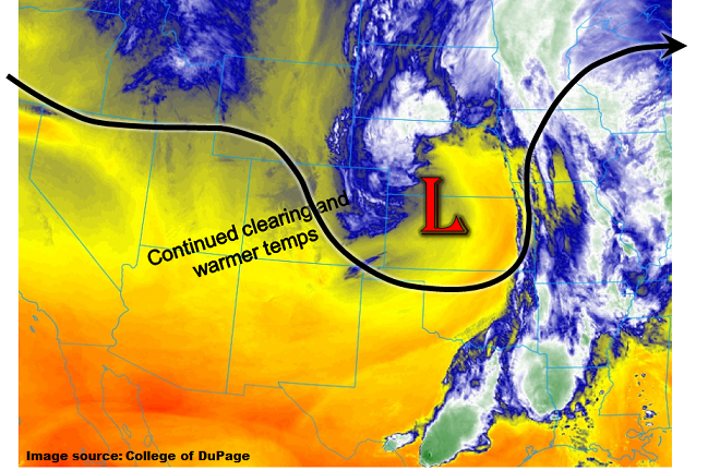
This morning’s water vapor imagery, shown below (for the GOES-16 Band 10 which generally measures lower atmosphere conditions), indicates that the disturbance causing Thursday’s snowstorm continues to weaken and move out of Colorado. The last remaining impact from this feature will be some shower activity in the far northeast part of the state that will subside by late afternoon. Farther west, a pool of low-level moisture is being forced upslope, causing low clouds and scattered snow showers in the Northern and Central Mountains. In fact, if you look at the image closely, you can easily identify the Continental Divide as a moisture boundary! This activity will continue to subside through the day as drier air begins to mix in from the northwest.
For many higher-elevation areas, today’s theme will be melting snow. Temperatures are expected to rebound to just below seasonal normal, which along with the ample sunshine will boost the melt rates. At this time, we do not foresee any major flooding concerns as the melt-off is expected to proceed in a relatively orderly fashion. Thus, flooding is not expected today.
Today’s Flood Threat Map
For more information on today’s flood threat, see the map below (hover over threat areas for more details). For Zone-Specific forecasts, scroll below the map.

Zone-Specific Forecasts:
Northeast Plains:
Mostly cloudy skies through mid-afternoon with isolated to scattered showers (and yes, possibly a snowflake mixed in) gradually ending. Max 1-hour rain rates up to 0.3 inches. Some clearing is possible late in the day. The South Platte River will continue to run high from Kersey through Sterling as the past storm’s flood crest moves through. Current analysis shows that river levels are staying on the lower side of forecasted values, and thus only isolated nuisance flooding of low-lying and poorly drained areas is expected. Thus, no flood threat for today.
Primetime: 11AM to 4PM
Front Range, Urban Corridor, Raton Ridge, Southeast Mountains, Southeast Plains, Palmer Ridge:
Mostly clear skies and much warmer temperatures today. Higher elevations of the Front Range and Urban Corridor will begin to see snow melt increase. While soils will be saturated, we do not expect flooding concerns as rivers and creeks continue to run below flood stage levels.
San Juan Mountains, Southwest Slope, Grand Valley, San Luis Valley, Northwest Slope, Northern Mountains, Central Mountains:
Mostly sunny except for higher elevations of the Northern and Central Mountains where isolated snow showers are possible through early afternoon. Warmer temperatures today, with substantial snow melt likely. However, flooding is not expected today.