Issue Date: 6/4/2017
Issue Time: 9:00 AM
NO FLOOD THREAT IS FORECAST.
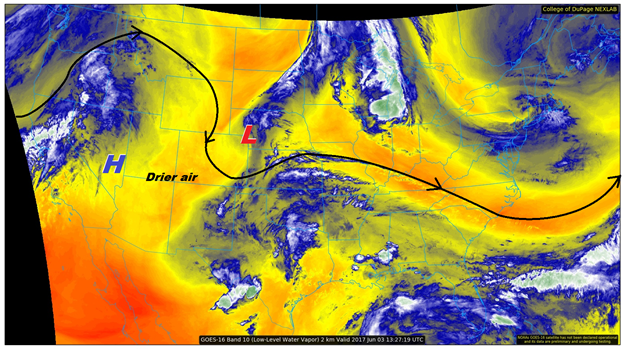
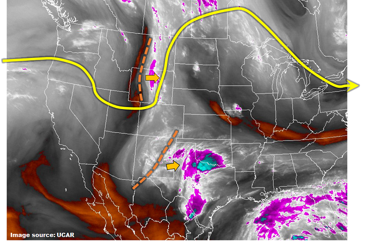
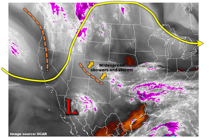
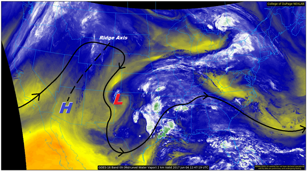
The upper-level low that helped produce a few showers/thunderstorms over eastern Colorado yesterday has finally drifted out of the state, centered over the TX/OK panhandle. Following it, the upper-level ridge will continue to build over the region today, resulting in a mainly dry day for Colorado. The exception to the dry rule will be over the higher terrain, where daytime heating & orographic effects will work on residual moisture, producing a few weak showers/thunderstorms. Rainfall will generally be light, with a few small pockets of moderate rainfall, but nothing to warrant any flood threat concerns.
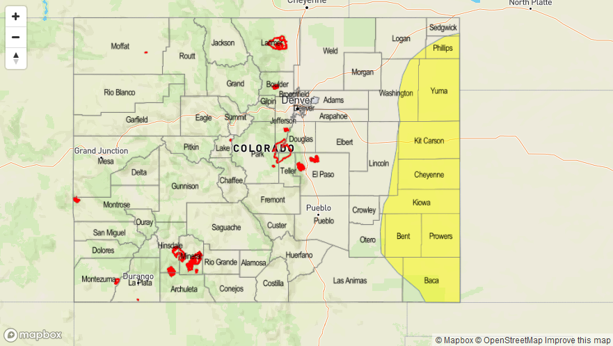
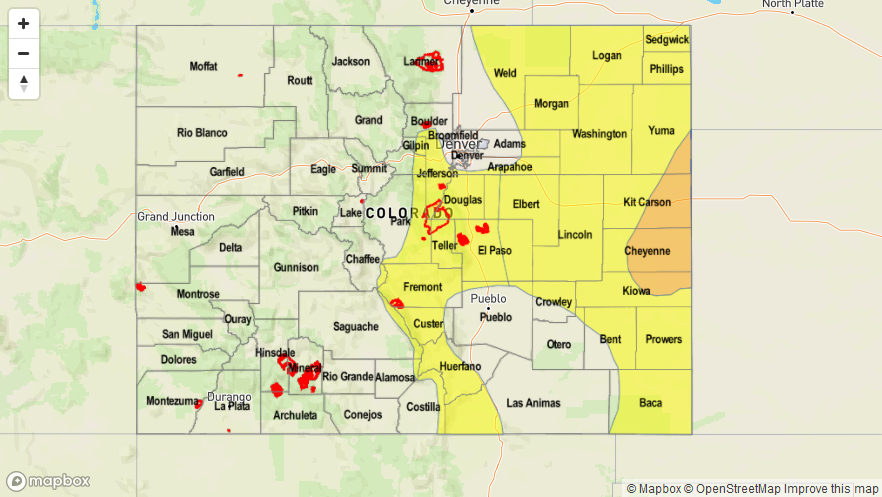
Today’s Flood Threat Map
For more information on today’s flood threat, see the map below (hover over threat areas for more details). For Zone-Specific forecasts, jump below the map.

Zone-Specific Forecasts
Urban Corridor, Palmer Ridge, Northeast Plains, Southeast Plains, and Raton Ridge:
Sunny and dry, with high temperatures reaching a few degrees above normal for the date. There isn’t much else to say except urge you to get outside and enjoy this early June day.
Front Range, Southeast Mountains, Northern Mountains, Northwest Slope, Central Mountains, Grand Valley, San Juan Mountains, San Luis Valley, and Southwest Slope:
Mostly sunny and mainly dry conditions will prevail, especially in the valleys and lower elevations. A few isolated, weak showers/thunderstorms will develop during the afternoon and evening hours, thanks to daytime heating and orographic effects playing on residual moisture. Heavy rainfall is not expected, and thus no flood threat is warranted. Rain rates will generally be in the 0.05-0.15 inches/hour range, with small pockets of 0.15-0.25 inches/hour. Gusty winds and some lightning will also attend thunderstorms.
Timing: Noon – 10 PM