Issue Date: 6/03/2017
Issue Time: 9:00 AM
A LOW FLOOD THREAT IS FORECAST TODAY FOR PORTIONS OF THE NORTHEAST AND SOUTHEAST PLAINS.
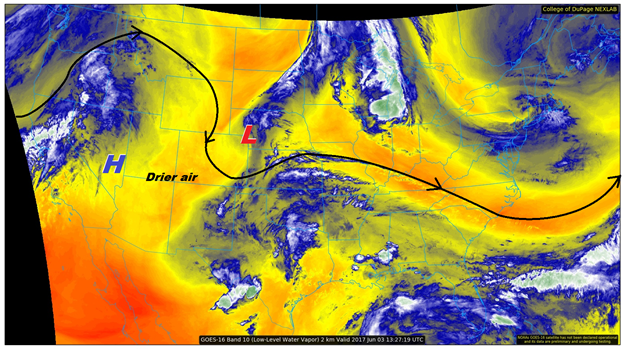
The water vapor image below tells the story for today, with an upper-level high positioned/building over the southwestern US and a shortwave low-pressure trough spinning over northeast CO/southwestern NE. With this pattern in place, drier (and more stable air) will filter in from the west with time, but eastern Colorado will have to contend with scattered showers and thunderstorms as the shortwave slowly moves south-southeastward. A few isolated showers and thunderstorms are also expected over the higher terrain along/east of the Continental Divide this afternoon/early evening where lingering moisture is worked on by daytime heating. West of the Continental Divide is expected to remain dry throughout the period.
Today’s Flood Threat Map
For more information on today’s flood threat, see the map below (hover over threat areas for more details). For Zone-Specific forecasts, jump below the map.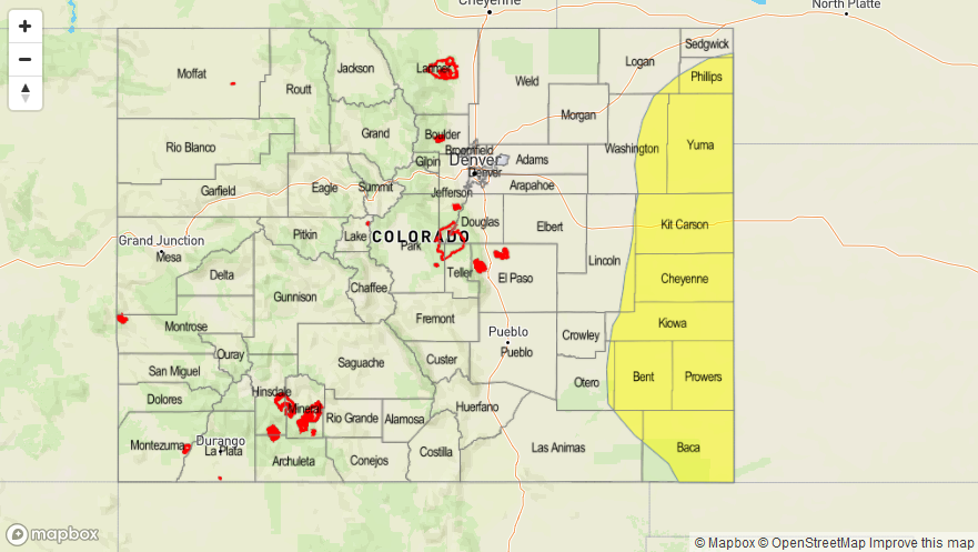

Zone-Specific Forecasts
Front Range, Southeast Mountains, Urban Corridor, Palmer Ridge, Northeast Plains, Southeast Plains, and Raton Ridge:
Scattered showers and thunderstorms are expected to develop around noon, peaking in coverage/intensity around 4-6 PM, and diminishing by around sunset. Most of the activity will remain over the Northeast Plains and Southeast Plains, but an isolated shower/thunderstorm or two is expected for portions of the Urban Corridor, Palmer Ridge, and Raton Ridge. Generally speaking, rain rates will remain below flash flood threat thresholds, but maximum rain rates over the eastern plains and eastern portions of the Raton Ridge are the reason for the low flood threat.
Front Range, Urban Corridor, and Raton Ridge: 0.25-0.5 inches/hour
Northeast Plains and Palmer Ridge: 0.8-1.2 inches/hour
Southeast Plains: 1.0-1.5 inches/hour
Timing: Noon – 10 PM
Northern Mountains, Northwest Slope, Central Mountains, Grand Valley, San Juan Mountains, San Luis Valley, and Southwest Slope:
A few isolated-to-widely scattered showers/thunderstorms are expected over the higher terrain along the Continental Divide and east, with dry conditions expected to the west. With moisture waning, heavy rainfall is not a threat today, so no flood threat has been issued. Rain rates will generally be 0.1-0.25 inches/hour, with a brief period of heavier rain to the tune of 0.25-0.5 inches/hour possible over the Central Mountains.
Timing: Noon – 10 PM