Issue Date: Saturday, June 24th, 2017
Issue Time: 9:20 AM MDT
NO FLOOD THREAT IS FORECAST TODAY.
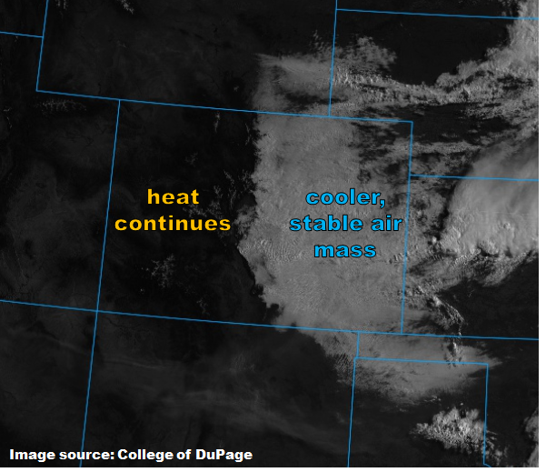
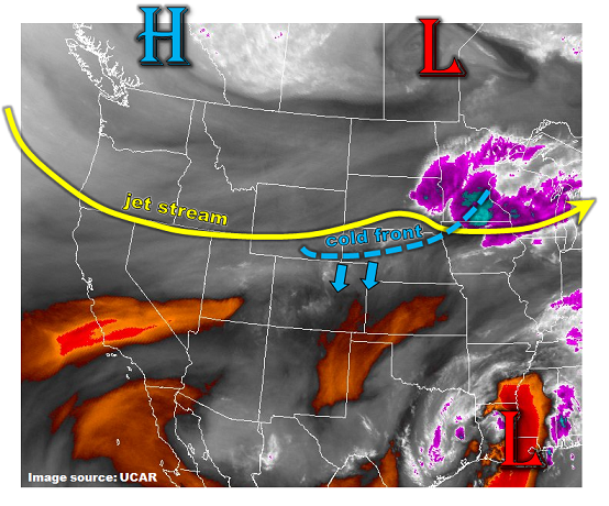
Easterly, upslope flow east of the mountains has kept the low-levels fairly saturated east of the Continental Divide, resulting in widespread cloud cover this morning for those areas. As the day wears on, clouds will begin to mix out and daytime heating will play on this moisture, producing isolated showers/thunderstorms along and east of the Continental Divide. Any activity is expected to remain garden-variety, producing gusty winds (up to 40 mph) and periods of light-to-moderate rainfall. Moisture isn’t deep enough to warrant any flood threat considerations, but any heavy rain over poorly-drained areas may result in brief street/field ponding. The majority of the showers/thunderstorms that develop will do so over the Front Range, Southeast Mountains, and Palmer Ridge, moving east-southeastward with time over adjacent regions.
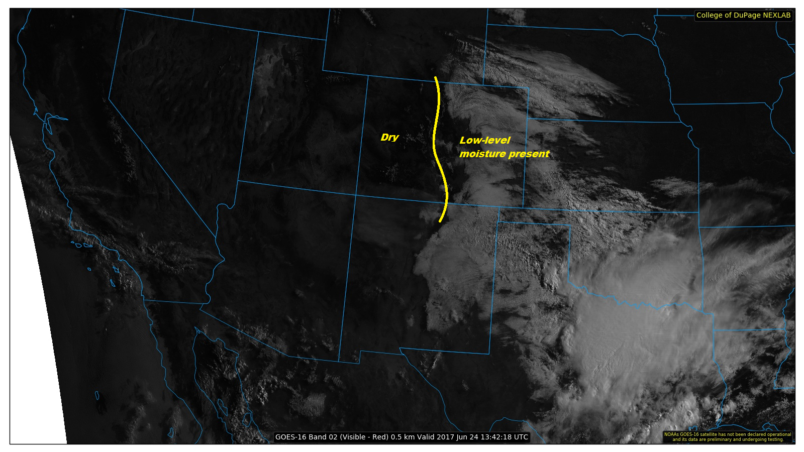
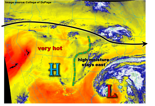
West of the Continental Divide, however, dry air is running the show resulting in nothing but sunshine. A few afternoon clouds will develop over the higher terrain, but mostly sunny skies will prevail. The one exception to the rule will be over the San Juan Mountains, where an isolated shower/weak thunderstorm or two is expected during the afternoon/evening hours, resulting in gusty winds, lightning, and light rainfall.
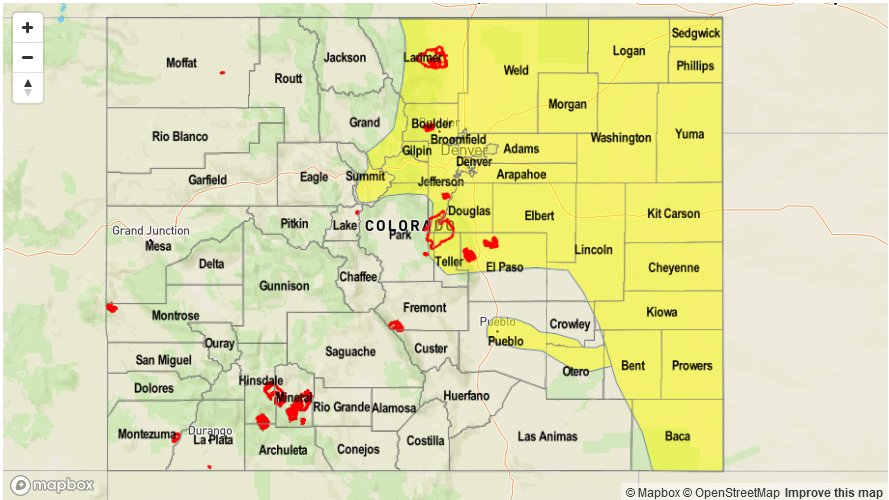
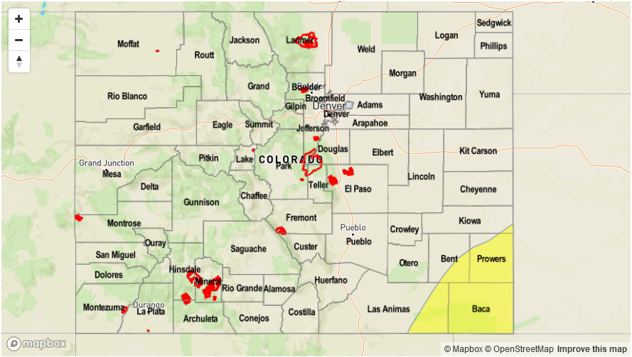
Today’s Flood Threat Map
For more information on today’s flood threat, see the map below (hover over threat areas for more details). For Zone-Specific forecasts, scroll below the map.

Zone-Specific Forecasts:
Front Range, Southeast Mountains, Urban Corridor, Palmer Ridge, Northeast Plains, Southeast Plains and Raton Ridge:
Clouds will mix out a bit as the day wears on, resulting in partly sunny skies by this afternoon. Isolated showers/thunderstorms are expected to develop over the higher terrain of the Front Range and Southeast Mountains, as well as the preferred terrain of the Palmer Ridge. With time, the showers/storms will move east-southeastward over the adjacent regions. Maximum rain rates are as follows:
Front Range and Southeast Mountains: 0.3-0.7 inches/hour
Palmer Ridge, Raton Ridge, and Urban Corridor: 0.4-0.8 inches/hour
Northeast Plains and Southeast Plains: 0.6-1.2 inches/hour
Timing: 1 PM – 11 PM, with a few lingering showers/storms over the eastern plains and Raton Ridge into the early morning hours
Northern Mountains, Central Mountains, San Juan Mountains, and San Luis Valley:
A couple isolated showers/weak thunderstorms are expected over the higher terrain, eventually moving over the lower elevations to the south/southeast. The main impacts from any activity will be gusty winds, brief periods of light-to-moderate rainfall, and lightning. Maximum rain rates (0.3-0.6 inches/hour) will remain below flash flood thresholds, so no flood threat is warranted.
Timing: Noon – 11 PM
Southwest Slope, Northwest Slope, and Grand Valley:
Mostly sunny and dry conditions will be the name of the weather game today for these regions as high pressure and very little moisture remain settled over the area. A few cumulus clouds over the higher terrain will be about all Mother Nature can muster today.