Issue Date: 7/1/2018
Issue Time: 6:45 AM
NO FLOOD THREAT IS FORECAST TODAY.
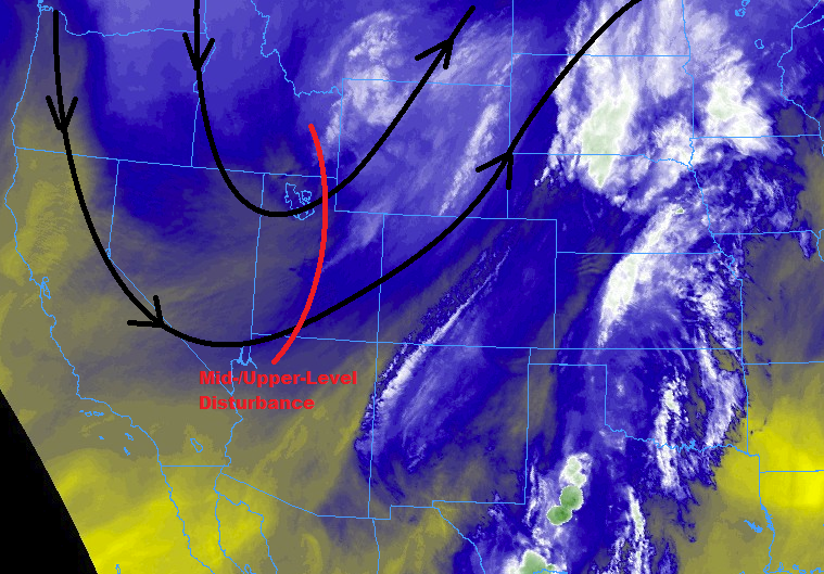
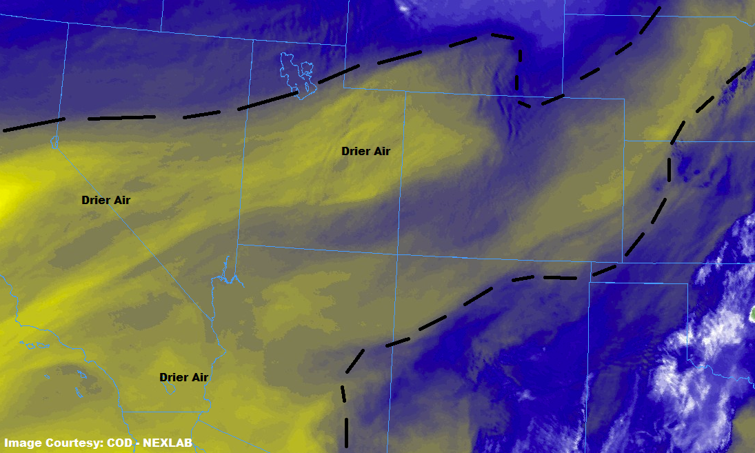
In the wake of yesterday’s upper-level trough, a drier and more subsident air mass has taken over Colorado. This will lead to a pleasant day overall, marked by plenty of sunshine and temperatures generally 6-10 degrees warmer than Saturday’s highs. During the afternoon/evening hours, a few isolated showers/garden-variety thunderstorms will break up the pleasant day over/near the higher terrain of the southern Front Range, the Central Mountains, Southeast Mountains, and eastern San Juan Mountains. A couple showers/storms will spill over the southern Urban Corridor, Palmer Ridge, and western portions of the Southeast Plains, but that will be about all that Mother Nature can muster. Storm activity will diminish near sunset as the daytime heat wanes, and come to an end by Midnight everywhere.
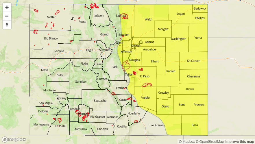
Today’s Flood Threat Map
For more information on today’s flood threat, see the map below (hover over threat areas for more details). For Zone-Specific forecasts, jump below the map.


Zone-Specific Forecasts
Urban Corridor, Palmer Ridge, Northeast Plains, Southeast Plains, and Raton Ridge:
Plenty of sunshine and warmer temperatures will be the main weather story today, with highs in the 80s across the area, with a few locations ranging near 90s in the Southeast Plains. A couple isolated, high-based showers/thunderstorms will spill over areas along/near the higher terrain, south of I-70. Gusty winds and brief periods of wetting rainfall will be the main result from any activity. Maximum rain rates will be 0.25-0.5 inches/hour.
Timing: 3 PM – Midnight
Northern Mountains, Northwest Slope, Front Range, Central Mountains, Grand Valley, San Juan Mountains, Southeast Mountains, San Luis Valley, and Southwest Slope:
Plenty of sunshine and warm temperatures are on tap today, making for a pleasant end to the weekend. A few isolated showers/garden-variety thunderstorms will break up the blue skies during the afternoon/evening hours over the Central Mountains and Front Range, the Southeast Mountains, and eastern portions of the San Juan Mountains. Rain rates will generally be below 0.10 inches/hour, with maximum rain rates as follows:
Central Mountains and San Juan Mountains: 0.15-0.20 inches/hour.
Front Range and Southeast Mountains: 0.2-0.3 inches/hour
Timing: 2 PM – 9 PM