Issue Date: Thursday, August 2nd, 2018
Issue Time: 09:00AM MDT
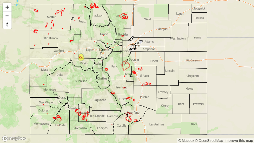
— A LOW flood threat has been issued for the Lake Christine burn scar
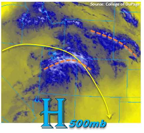
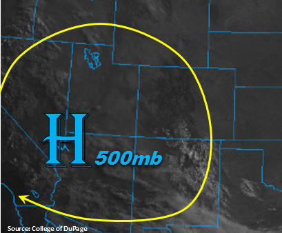
Similar to yesterday, another shortwave trough will make its way through the state from the northwest to the southeast around the top of the ridge. This feature is marked in the visible satellite imagery below (orange) and can also be spotted by the cloud deck over NE Utah/SE Wyoming. The ridge axis itself won’t move much today except for slight movement east. This means the increase in subtropical moisture won’t begin until tomorrow, and weak thunderstorms that are able to fire today will again produce more gusty winds than heavy rainfall.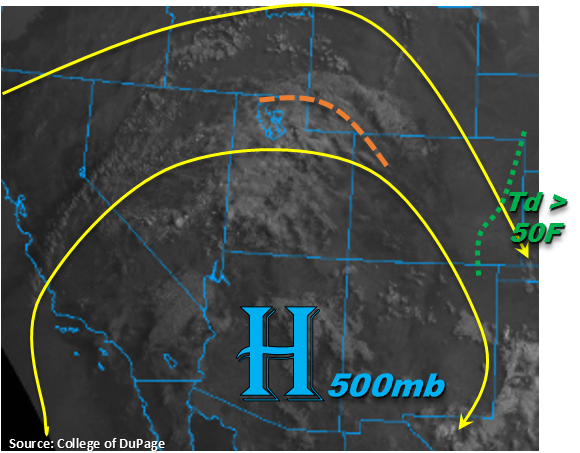
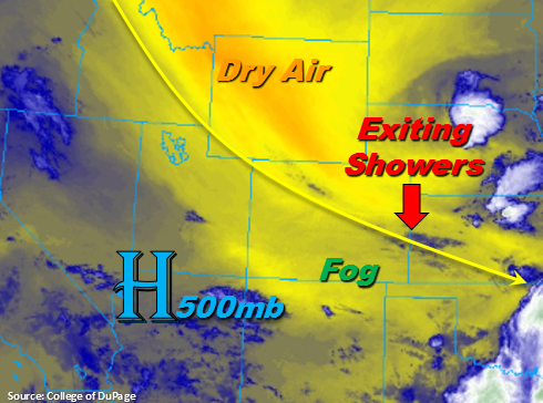
The 12Z sounding shows a large spread between the temperature and dew point already over Grand Junction, but PW has increased to 0.82 inches. While this is about average, it has increased quite a bit over the last couple of day. This translates to a bit more measureable rainfall coverage this afternoon over the western, high terrains. At Denver, there only seems to be some shallow moisture, which is expect to mix out west to east throughout the day. The area of 50F dew points is to the east of the green line in the visible satellite imagery. Thus, not expecting many storms to survive in the adjacent eastern plains that move off the mountains this evening. However, there is still a slight chance for weak, high-based thunderstorms over El Paso, Elbert and Lincoln Counties thanks to increased convergence along the Palmer Ridge.
Minimal CAPE (convective available potential energy) this afternoon should produce weak thunderstorms/showers and low rainfall rates, but the passing of the shortwave will produce more coverage of storms over the higher terrains. Without a lot of atmospheric dynamics at play, storms will be more pulse-like this afternoon with a general movement to the southeast. Max 1-hour rain rates will again be under flood threat criteria, but there is a chance of a storm popping up over the Lake Christine fire. This fresh burn scar has proven to be susceptible to flash flooding and with rain rates in the area being just above 0.25 inches/hour, a Low flood threat has been issued. Elsewhere, flooding is not expected on Thursday.
Today’s Flood Threat Map
For more information on today’s flood threat, see the map below. For Zone-Specific forecasts, scroll below the map.

Zone-Specific Forecasts:
Front Range, Urban Corridor, Northeast Plains, Palmer Ridge, Southeast Plains, Southeast Mountains, Raton Ridge:
High clouds and haze continue today, which will help limit instability for afternoon showers and thunderstorms. With the passing shortwave, coverage should ramp up a bit over the mountains this afternoon, but rainfall should be mostly confined to the mountains. The exception is that a storm or two may survive along the Palmer Ridge. Max 1-hour rain rates up to 0.5 inches possible, but most storms will be in the 0.1-0.3 inch/hour range. The extra upper-level lift from the shortwave will help showers linger over the higher terrains into the night. Flooding is not expected.
Primetime: 2PM – 1AM
Southwest Slope, San Juan Mountains, San Luis Valley, Grand Valley, Northern Mountains, Northwest Slope, Central Mountains:
Haze and smoke will continue to limit visibility this afternoon. With the addition of some early high clouds, not much instability will be able to build for strong thunderstorms this afternoon. Expecting weak thunderstorms and showers over all the western mountain regions through early tomorrow morning. Max 1-hour rain rates up to 0.5 inches/hour are possible with 24-hour totals up to 0.7 inches further south over the San Juan Mountains. A Low flood threat has been issued for the Lake Christine Fire as it has shown to have flooding issues with rain rates in the 0.25 inch/hour range. Elsewhere, flooding is not expected.
Primetime: 2PM – 3AM