Issue Date: Thursday, May 23rd, 2019
Issue Time: 8:45AM MDT
–Flooding is NOT expected today
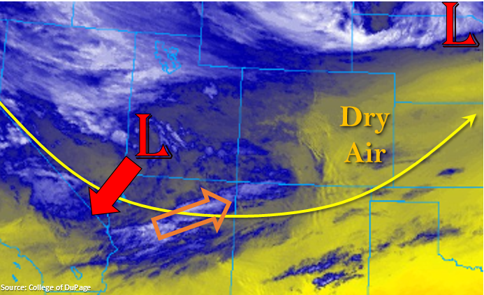
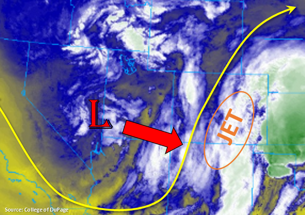
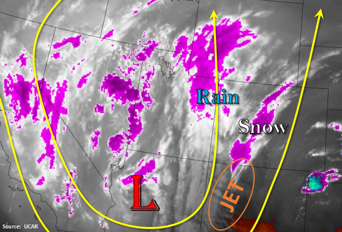
Western Colorado is waking up to rain and snow, while the rest of the state has some sort of cloud cover. The exception to the cloud cover is over the San Luis Valley where temperatures are currently in the mid-40°Fs. The next system, which is currently over Arizona, begins to propagate to the northeast today. The jet on the front side of the trough is mixing with some mid-level energy, which is already producing precipitation marked in the water vapor imagery below. Expect scatter storms to continue to increase throughout the day over western Colorado and the mountains as a cold front moves through this afternoon. Currently, the snow line is at ~8 K feet, but expect that to drop once the front passes. Freezing temperatures are forecast over the southern portion of the Southwest Slope tonight.
As far totals, this is a swift moving system due to the jet. Storm motion will be to the NNE at 25 to 30 knots. With dew points in the 40°Fs and rain turning to snow with the passage of a cold front, flooding is not expected. Best accumulation will occur over the western border with snow totals between 3-6 inches over the San Juans by tomorrow morning. The Grand Mesa area may also get a couple of inches of snow once the front passes through the area.
West of the Divide, expect showers and snow (elevations > 9.5K ft) over the Front Range and northern Southeast Mountains. With the storm motion, highest accumulations are forecast along the Continental Divide once again. A few light showers may spill into the adjacent plains with the best chance for measurable rain over the Palmer Ridge, but increased cloud cover is the more likely scenario. Scattered storms with mostly stratiform rain may occur later this morning into this afternoon along the Kansas/Colorado border on the backside of a surface low moving in the panhandle of Texas/Oklahoma. The threat for severe thunderstorms should stay well east of the state, especially with the stable air mass over the plains. Flooding is not forecast.
Today’s Flood Threat Map
For more information on today’s flood threat, see the map below. For Zone-Specific forecasts, scroll below the map.
Zone-Specific Forecasts:
Northwest Slope, Grand Valley, Southwest Slope, San Luis Valley, San Juan Mountains, Central Mountains, Northern Mountains:
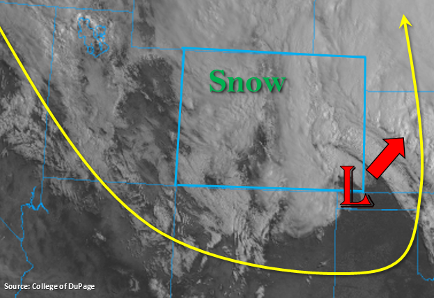
Scattered showers, weak thunderstorms and snow are possible today with coverage increasing throughout the day. Strong winds will also be possible over the higher terrains with the jet overhead. Isolated totals by tomorrow morning along the western border could reach 1 inch over the higher elevations, with more general values in a range from 0.25 to 0.6 inches over the valleys. The Lake Christine burn scar will be monitored closely this afternoon, but rainfall should be gradual enough that it won’t cause any issues. The San Juan Mountains will likely wake up to 3-6 inches of fresh snow by the morning. Storms should decrease south to north later this afternoon with all activity ending by 11PM tonight. Flooding is not forecast.
Primetime: Ongoing to 10PM
Raton Ridge, Southeast Plains, Urban Corridor, Palmer Ridge, Northeast Plains, Southeast Mountains, Front Range:
Cool temperatures and stratiform clouds to start the day due to the passage of a cold front overnight. Expect an uptick in storm activity over the Front Range and northern Southeast Mountains this afternoon as the low moves north. Snow accumulations should stay above ~9.5K feet with some gusty winds possible with the jet overhead. Precipitation totals up to 0.5 inches may be possible along the Divide in Clear Creek, Gilpin and northern Park County, but elsewhere totals should be no greater than 0.3 inches. A few of these storms could spill into the adjacent plains, but accumulation will be minimal. Over the eastern plains, some rainfall with embedded convection may be possible. Totals up to 0.25 inches may be possible. Flooding is not forecast.
Primetime: 9AM to 9PM