Issue Date: Wednesday, May 22nd, 2019
Issue Time: 9:00AM MDT
–Flooding is NOT expected today
The system that brought Denver the late season snow is now over northern Nebraska, and in its wake, subsidence and drier air has moved into eastern Colorado. Clear overnight skies and cold temperatures behind the cold front allowed for lows to dip below the freezing mark early this morning. To the west of Colorado, the next system begins to rotate into the area that will impact the state’s weather today and tomorrow. The low pressure is expected to deepen throughout the day, which should pull it a bit further southwest. In turn, this will change the winds aloft over Colorado to southwesterly and eventually southerly tonight. The deepening of the system will allow the shortwave over Arizona and New Mexico to move north into the western Colorado and the mountains, which will help spark scattered afternoon storms.
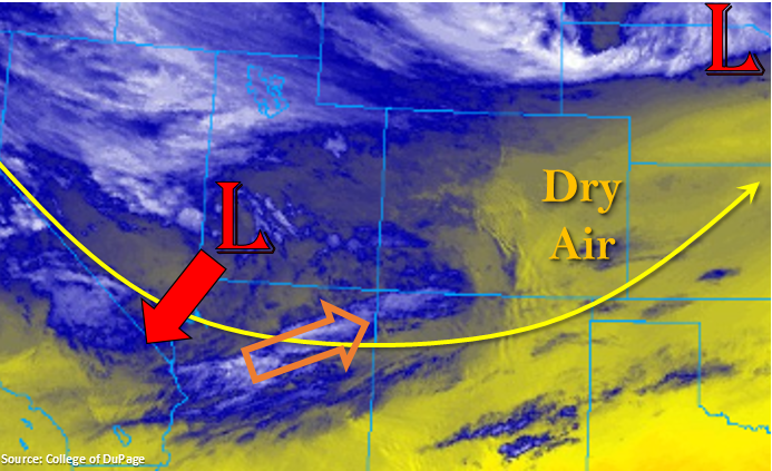
More northerly surface flow over eastern Colorado and south/southwesterly flow aloft will reinforce the dry air mass in place. The air to the northeast has a bit more moisture in it, so rainfall is forecast over the Front Range and along the Continental Divide as the flow turns more easterly this afternoon near the Palmer Ridge. Over the adjacent plains and eastern Colorado, only partial cloud cover is forecast with a few sprinkles possible along the Urban Corridor.
To the west, dew points will be in the mid-30°Fs to 40°F, so storms today will produce light rainfall and possibly some gusty outflow winds as they move south to north. Small hail is possible with the isolated, stronger thunderstorms, but storms are not expected to reach severe criteria. Afternoon storms should come to an end a couple hours after sundown. With an upper level jet moving into southern Colorado, some gusty winds may be possible over the higher terrains this evening and may help generate a few light snow showers over the higher elevations of the Central and San Juan Mountains overnight. Flooding is not forecast.
Today’s Flood Threat Map
For more information on today’s flood threat, see the map below. For Zone-Specific forecasts, scroll below the map.
Zone-Specific Forecasts:
Northwest Slope, Grand Valley, Southwest Slope, San Luis Valley, San Juan Mountains, Central Mountains, Northern Mountains, Front Range:
Scattered showers and weak thunderstorms are possible this afternoon as the next system deeps to our west. A little bit of moisture has remained over northeast corner, so some afternoon storms are possible with upslope flow along the Front Range. Totals by tomorrow morning could reach just under 0.5 inches, but will more likely be in the range of 0.25 to 0.4 inches. To the west, storms will travel from south to north. Accumulations will be greatest over the southern mountains, but activity will likely spill into the valleys. Isolated 24-hour totals up to 0.5 inches are possible over the San Juan Mountains and western Central Mountains. Snow should be confined to the highest elevations, but a few inches are likely by morning. For the adjacent valleys, forecasting 24-hour totals between 0.25 and 0.35 inches where the stronger storms form. Flooding is not expected.
Primetime: Ongoing to 8PM
Raton Ridge, Southeast Plains, Urban Corridor, Palmer Ridge, Northeast Plains, Southeast Mountains:
Dry air and subsidence should keep these regions rainfall free this afternoon with the exception of some light rainfall along the highest elevations of the Sangre de Cristo Mountains. Expect cloud cover to increase this afternoon and high temperatures to begin to rebound from the cold snap. Highs over the Southeast Plains will reach the 70°Fs with temperatures 5-10°F cooler over the Northeast Plains. Over the Urban Corridor, highs in the upper 40°Fs are forecast. Flooding is not expected.