Issue Date: 8/31/2019
Issue Time: 6:55 AM
NO FLOOD THREAT IS FORECAST TODAY.
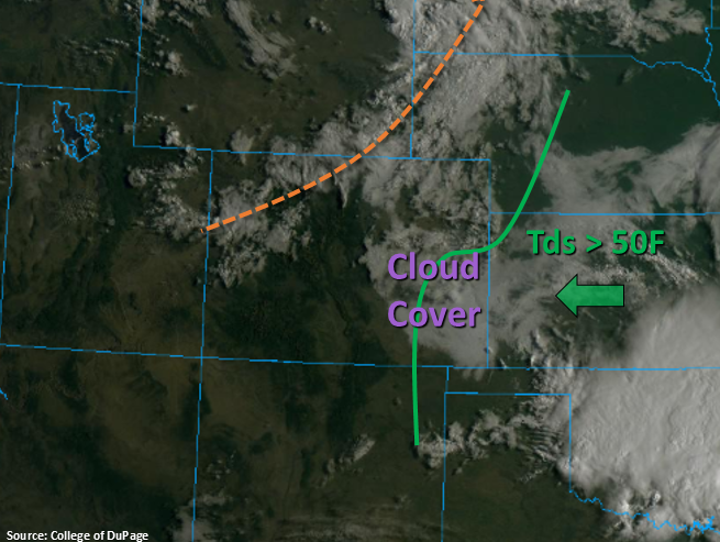
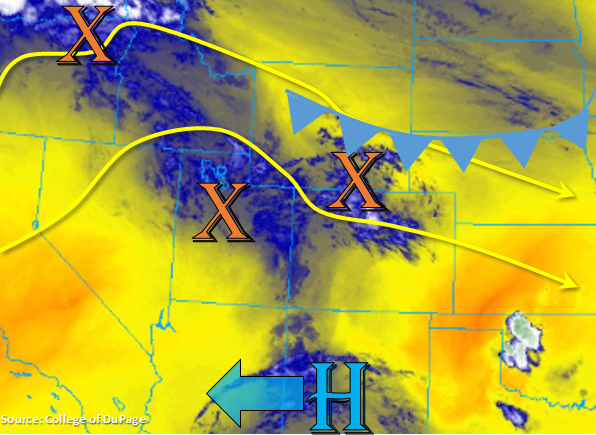
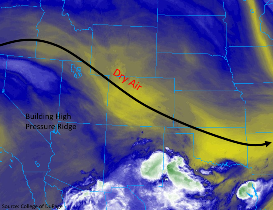
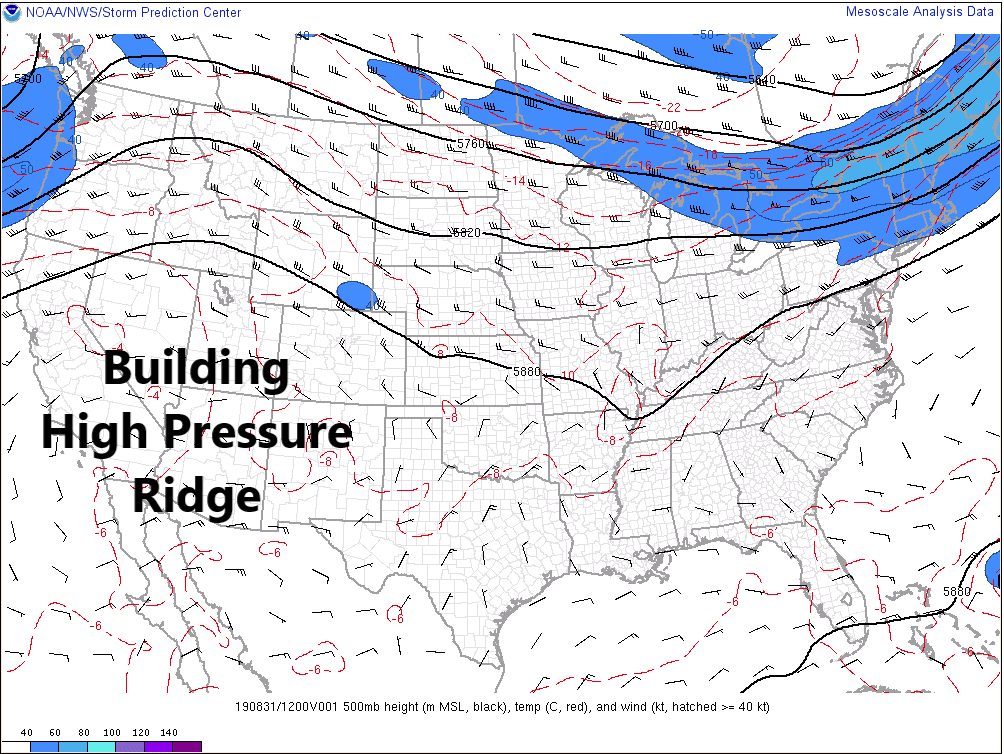
An upper-level ridge over the southwestern US will continue to build over Colorado today, resulting in a warmer and overall drier day across the state. Thus, the main weather story today will be the above-average temperatures and plenty of sunshine. With that said, residual moisture from previous days’ activity, combined with orographic influences, will allow for a few isolated thunderstorms over/near the higher terrain. Not much rainfall is expected due to a lack of near-surface moisture; much of the rainfall will evaporate before reaching the ground. Gusty winds, cloud-to-ground lightning, and brief periods of light-to-moderate rainfall will be all that storms can muster today.
For more details on timing and rain rates, please see the zone-specific forecasts below.
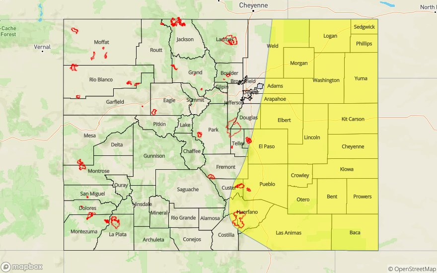
Today’s Flood Threat Map
For more information on today’s flood threat, see the map below. For Zone-Specific forecasts, jump below the map.


Zone-Specific Forecasts
Urban Corridor, Northeast Plains, Southeast Plains, Palmer Ridge, and Raton Ridge:
Mostly sunny and warm temperatures will be the main weather story today as the upper-level high pressure builds over the state. A couple isolated, high-based thunderstorms will rumble over areas adjacent to the higher terrain, as well as along the Palmer Ridge and Raton Ridge, but nothing more than brief periods of light-to-moderate rainfall (less than 0.25 inches/hour), gusty winds, and perhaps some small hail are expected. Further east over the plains, nothing but sunshine expected.
Timing: 2 PM – 10 PM
Front Range, Southeast Mountains, Northern Mountains, Northwest Slope, Grand Valley, Central Mountains, San Luis Valley, San Juan Mountains, and Southwest Slope:
Mostly sunny skies will rule the start of the day, with fair weather cumulus building through the afternoon and early evening hours. A few isolated thunderstorms will develop thanks to daytime heating and orographic effects, mainly south of I-70. Gusty winds, brief periods of light rainfall (less than 0.15 inches/hour), and cloud-to-ground lightning will be the main impacts from any thunderstorm development. As dusk approaches and the day turns to night, clouds will clear out quickly, leaving mostly clear skies for the overnight hours.
Timing: Noon – 9 PM