Issue Date: Thursday, July 23rd, 2020
Issue Time: 10:50AM MDT
Summary:
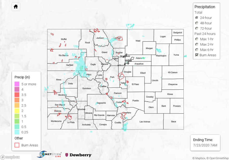
A couple storms caused some heavy downpours and minor flash flooding over the western part of the state yesterday as moisture moved its way north through the state. A strong thunderstorm impacted the Glenwood Springs area yesterday, which caused muddy runoff to flood local streets and prompted a Flood Advisory by NWS Grand Junction. Two CoCoRaHS rain gauges reported 0.80 inches of rain near town, and one gauge just south of town reported up to 1.16 inches! The QPE map shows this area of heavy rain just south of Glenwood Springs well, with up to 1 inch estimated. A second area of heavy rain along a south-to-north band over San Miguel and Montrose County in southwestern Colorado prompted a Flood Advisory from NWS Grand Junction due to law enforcement reports of debris on route 145 due to “minor runoff.” The QPE map indicates just over 0.5 inches of rain fell over an isolated part of this area just south of the town of Norwood. An ASOS station just northeast of Norwood picked up 0.26 inches of 24-hour rainfall, and a CoCoRaHS report of 0.35 inches came in from the next town southeast (Placerville). A Weather Underground station just north of the town of Norwood picked up 0.76 inch of rain over two hours from 1-3PM MDT as two periods of heavy rain moved over the area. This indicates the QPE may be underestimating rainfall along the northern portion of this heavy rain band. Other locations across western Colorado also picked up some beneficial rainfall, including reports of 0.43 inch of rain near Pagosa Springs in the San Juan Mountains and 0.38 inch of rain in eastern Moffat County along the Northwest Slope. A few strong wind gusts, up to 53 mph, were also reported over the Grand Valley from thunderstorm outflow.
Some storms also formed over the Denver area, producing gusty outflow winds and up to half an inch of rain over the metro area. A CoCoRaHS report of 0.55 inch of rain was submitted just south of downtown Denver, near Washington Park. An ALERT gage just northeast of the area reported 0.43 inch of rain over an hour. This isolated area was picked up on the QPE map, which indicated up to 0.5 inch of rain fell, agreeing with observations. Lighter rainfall was observed along the northern Urban Corridor as storms moved north during the afternoon, generally staying below 0.25 inch. The QPE is indicating an isolated area of heavy rain up to 1.5 inches over eastern Adams County, but the closest rain gauge from a Weather Underground station only reported 0.27 inch of rain. This enhanced QPE is likely over-estimated. No flooding was reported over the Urban Corridor yesterday.
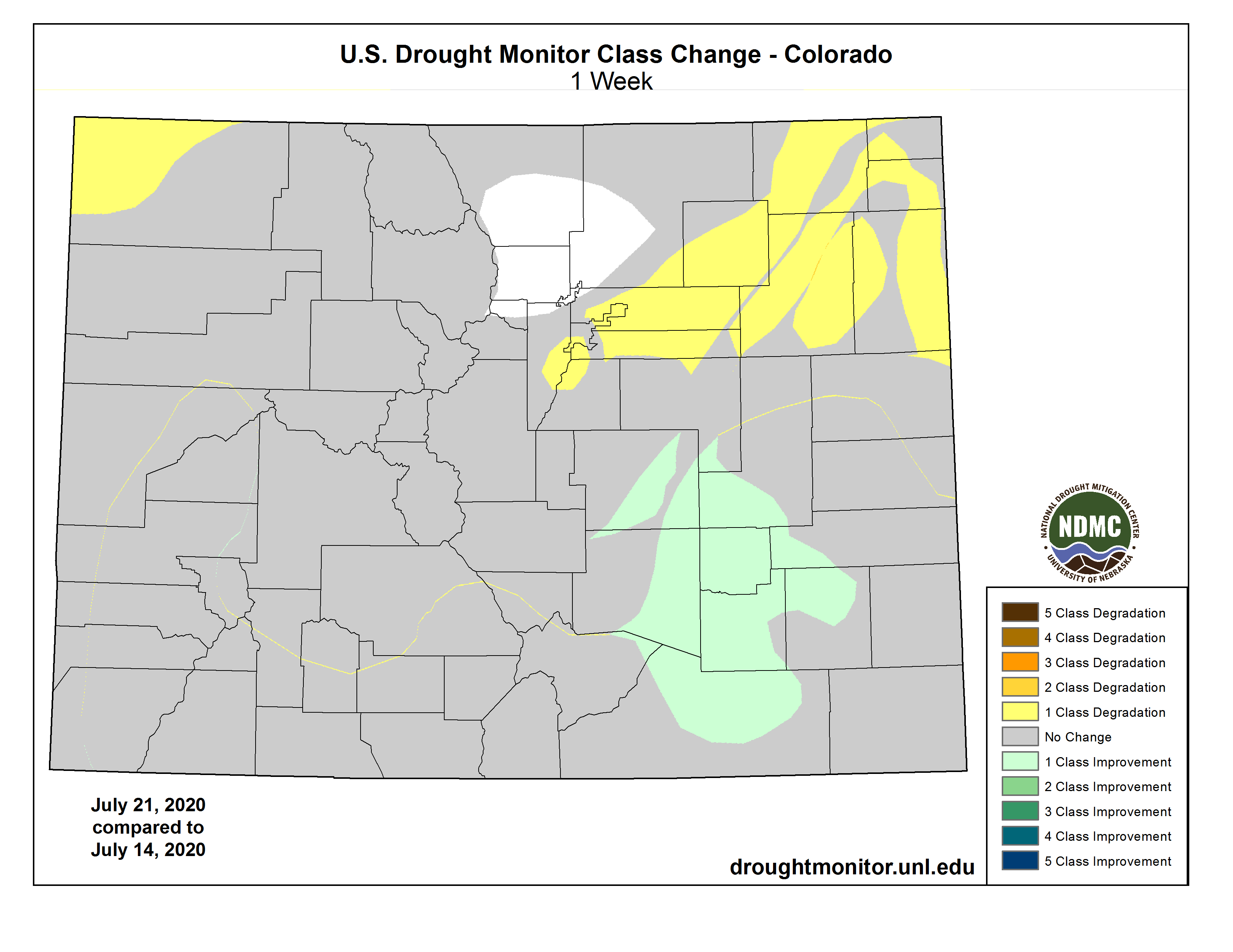
Thanks to the rainfall over the southeastern portion of the state last week, drought conditions have improved slightly (see image below). Unfortunately, drought conditions also degraded over the northern tier of the state. Hopefully this week’s rain over the northeast corner of the state will improve drought conditions for next week’s drought monitor update.
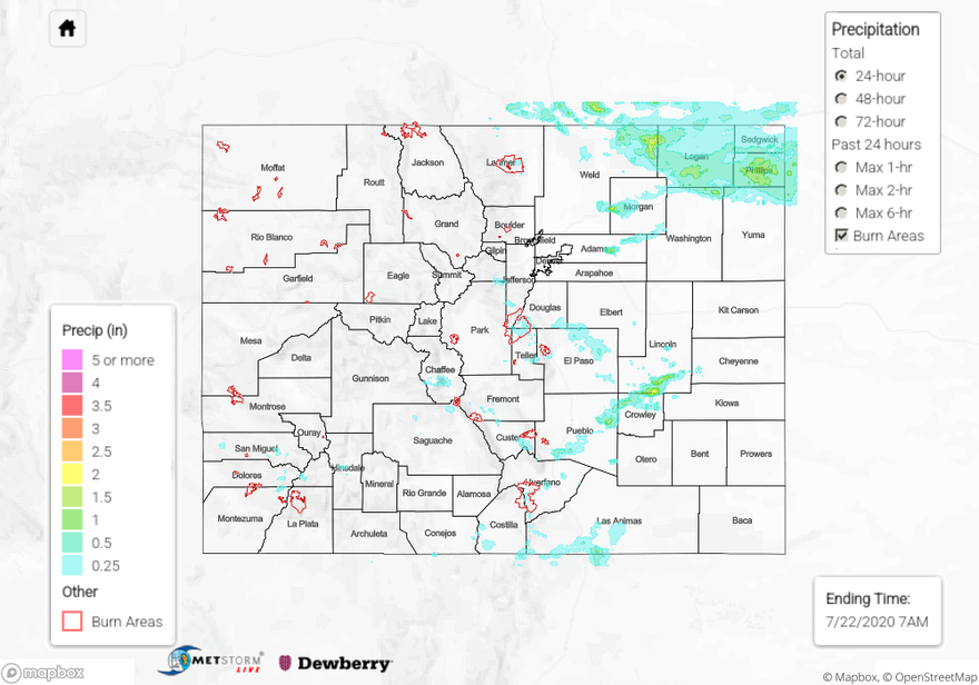
For 24-hour to 72-hour rainfall estimates in your area, check out our State Precipitation Map below.
Click Here For Map Overview