Issue Date: Wednesday, August 12th, 2020
Issue Time: 11:00AM MDT
Summary:
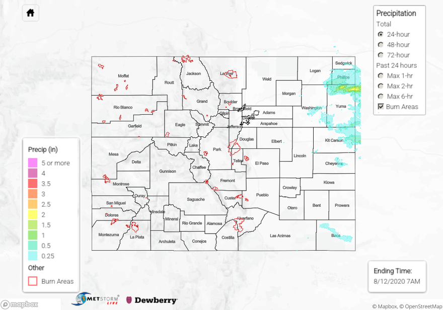
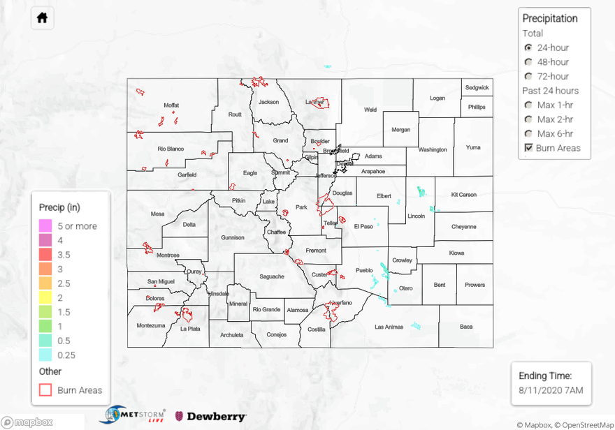
Afternoon severe thunderstorms rolled through the plains of eastern Colorado yesterday, which brought heavy rain, wind gusts up to 60 mph, and hail up to 1 inch in diameter. Some storms fired again overnight over the Northeast Plains, adding to the rainfall totals this morning. The AHPS QPE analysis this morning indicates up to 3 inches of rain fell over a small area of northeastern Yuma County. The bias-corrected MetStorm Live QPE indicates 24-hour rain totals up to 2.5 inches, with max 1-hour rain rates between 1.5 and 2 inches. Radar shows that storms trained over this area between 11PM and 4AM, and storms also moved through this area quickly yesterday afternoon between 2PM and 5PM. A storm report this morning says that 3.32 inches of rain fell near the CO/KS/NE tri-state border in northeast Yuma County between 11PM and 4AM last night, which was also accompanied with pea-sized hail. The next highest rain gauge total of 1.11 inches is from a CoCoRaHS observer in southwestern Phillips County, which was likely from the afternoon storms. Farther south into Kit Carson and Cheyenne counties, rain gauges picked up as much as 0.44 inches of rain according to CoCoRaHS observers. Over Baca County in southeastern Colorado, a storm dropped up to 0.27 inches of rain according to a rain gauge in Springfield, with the core of the storm estimated at 0.5 inches from the QPE map. Flooding was not reported with any of these storms yesterday.
Interestingly, a dry, weak downburst from an elevated storm over the southern Denver Metro area caused some tree damage and a power outage. This storm was barely even visible on radar. However, yesterday’s morning Denver sounding did indicate strong downdrafts were possible. Wind gusts up to 44 mph were observed by Weather Underground stations near the area.
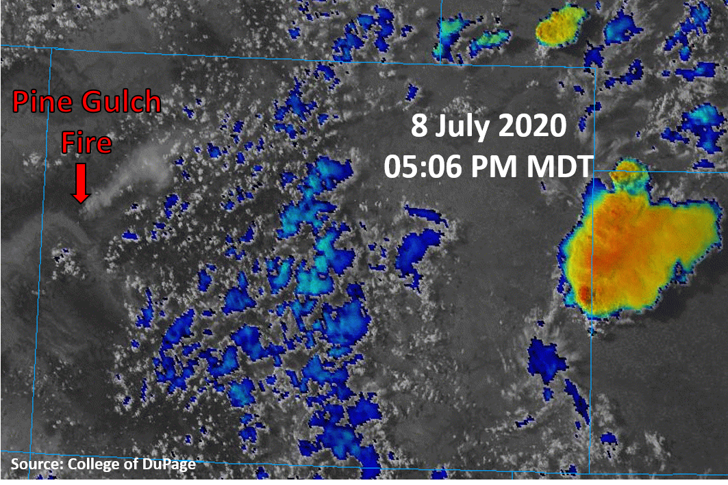
The Pine Gulch Fire and Grizzly Creek fires continued to burn in western Colorado yesterday with the dry and windy conditions. The Grizzly Creek Fire grew to 3,702 acres, and the Pine Gulch Fire grew to 51,455 acres as of this morning. A wind gust up to 51 mph was reported in Eagle County, indicating some stronger winds from aloft were mixing down to the surface, which has been happening the last few days. This should continue today, so a Red Flag Warning was re-issued for today. Stay up to date on these fires and potential evacuations today by following their social media pages (linked below).
Pine Gulch Fire: https://www.facebook.com/PineGulchFireCO
Grizzly Creek Fire: https://www.facebook.com/GrizzlyCreekFireCO
For rainfall estimates in your area over the last 72 hours, check out our State Precipitation Map below.
Click Here For Map Overview