Issue Date: Friday, August 28th, 2020
Issue Time: 09:40AM MDT
Summary:
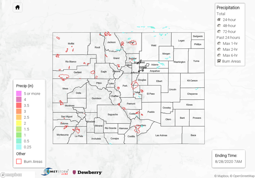
Storms fired over the higher elevations yesterday by 11:30AM, but less coverage than on Wednesday. This created more isolated storm cores, and rain gauge observations this morning indicate generally up to 0.4 inches of rain fell from most of these cells across the mountains. These higher totals include 0.39 inch and 0.38 inch CoCoRaHS reports in La Plata County (southern San Juan Mountains), where small hail was also reported, and a 0.36 inch CoCoRaHS report within a storm core in central Huerfano County (Southeast Mountains). CoCoRaHS and Mesowest rain gauges reported of 0.22-0.27 inches of rain accumulation near storm cores in Larimer County (northern Front Range). Rainfall was lighter elsewhere across the state. The exception is a surprisingly isolated storm that moved over north Boulder, where five CoCoRaHS rain gauges picked up between 0.50 and 0.73 inches of rain. Today’s QPE map shows just how small of a storm this was. No flooding was reported yesterday.
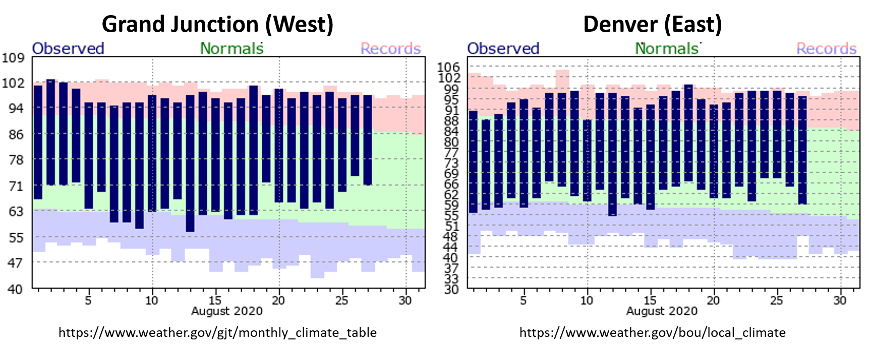
Since yesterday was likely the last day of a significant streak of hot weather (a “cool” front will cool things down today), check out just how warm it has been in Denver and Grand Junction in the combined images below. At Grand Junction, daily high temperatures have been above normal for the entire month of August, and 7 daily high temperature records have been broken or tied. Denver had only two days at or below the normal high temperature for August, and has also seen 7 days with record high temperatures recorded. This extreme heat (and precipitation well below normal) has allowed severe drought to take a strong hold in Colorado and allowed the worst wildfire in Colorado’s history. Hopefully September will bring some relief.
Ongoing large fire update (as of 9:15AM on InciWeb):
Pine Gulch – north of Grand Junction: 139,006 acres; 77% contained (now Colorado’s LARGEST WILDFIRE!)
Grizzly Creek – Glenwood Canyon: 32,408 acres; 68% contained (little growth, increased containment)
Cameron Peak – Medicine Bow Mountains: 22,845 acres; 0% contained
Williams Fork – Arapaho National Forest: 12,048 acres; 5% contained
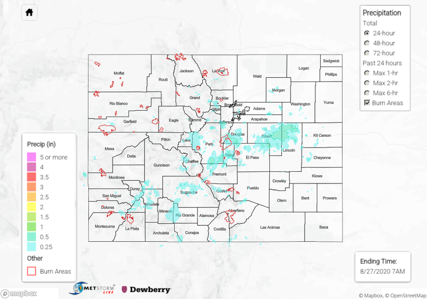
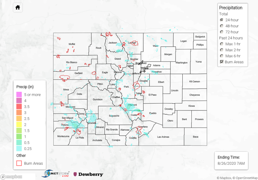
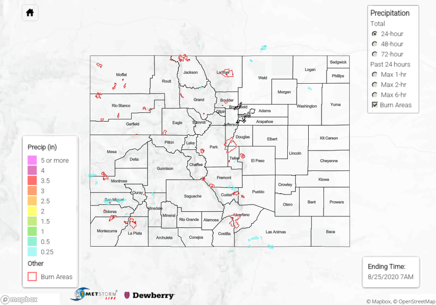
For rainfall estimates in your area over the last 24 to 72 hours, check out our State Precipitation Map below.
Click Here For Map Overview