Issue Date: Tuesday, September 1st, 2020
Issue Time: 10:25AM MDT
Summary:
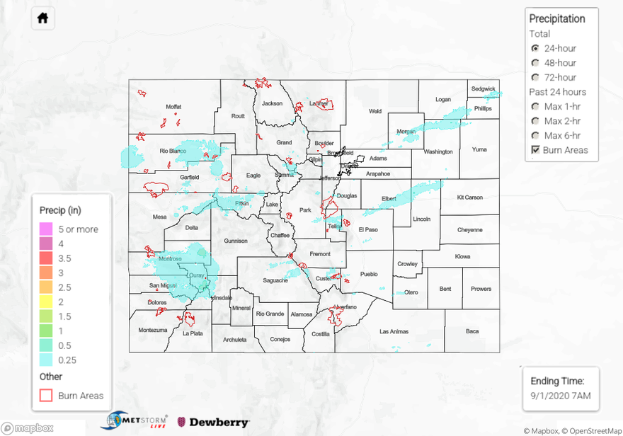
A strong shortwave system moved through Colorado yesterday afternoon and overnight, which was associated with a large-scale trough and southern dip in the polar jet stream. This system is just in time for the start of meteorological fall. The stronger surface winds with this system caused some gusty winds along the western slope, where wind gusts up to 58 mph were reported. Luckily these winds did not cause issues with the current wildfires (see updated wildfire info below). Rainfall was generally light showers over longer durations (stratiform), rather than convective in nature. The highest rainfall over the last 24-hours appears to have fallen over the northern San Juan Mountains and Southwest Slope, where numerous CoCoRaHS and USGS rain gauges are reporting between 0.4 and 0.5 inches in Ouray and eastern Montrose counties. A MesoWest station just east of the town of Montrose is reporting 0.56 inches of rainfall. Elsewhere across the mountains, rain totals were between a trace and a quarter of an inch. The plains of eastern Colorado did not miss out on this rain either. The highest rain totals over the plains were over the Palmer Ridge, where CoCoRaHS observers reported up to 0.34 inches of rain in Elbert County. Most locations saw at least measurable precipitation (0.01” or more). No flooding has been reported as of this morning. Although there wasn’t enough rain to make a dent in the drought, we’ll take it and the cooler temperatures after a dry and hot August. In fact, August was tied for the hottest on record.
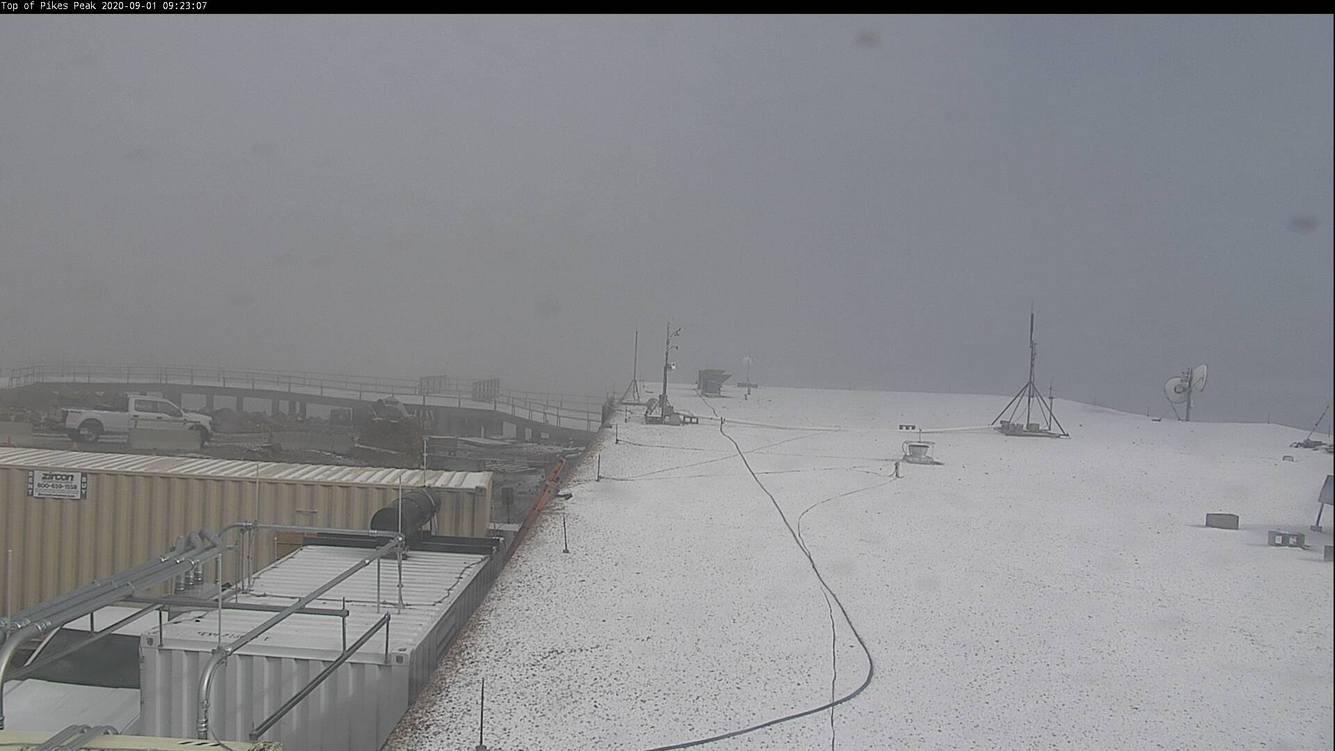
If you were looking at webcams across Colorado this morning you might have been delighted (or upset) to see a dusting of SNOW at Pikes Peak! The webcam image below (looking northwest) shows this light dusting of snow at 14,115 feet above sea level this morning with the snowline falling to about 10K feet last night. Fall is on our doorsteps, but first another hot and dry week is ahead.
Colorado large wildfire updates (as of 9:30AM on InciWeb):
Pine Gulch – north of Grand Junction: 139,007 acres; 81% contained (0.14” of rain fell over fire, no flooding reported)
Grizzly Creek – Glenwood Canyon: 32,464 acres; 75% contained (0.2” of rain fell over fire, but no flooding)
Cameron Peak – Medicine Bow Mountains: 23,022 acres; 5% contained (increased containment)
Williams Fork – Arapaho National Forecast: 12,097 acres; 10% contained
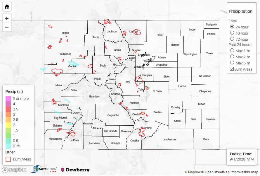
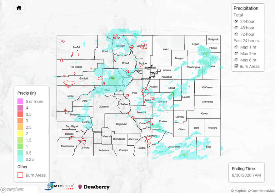
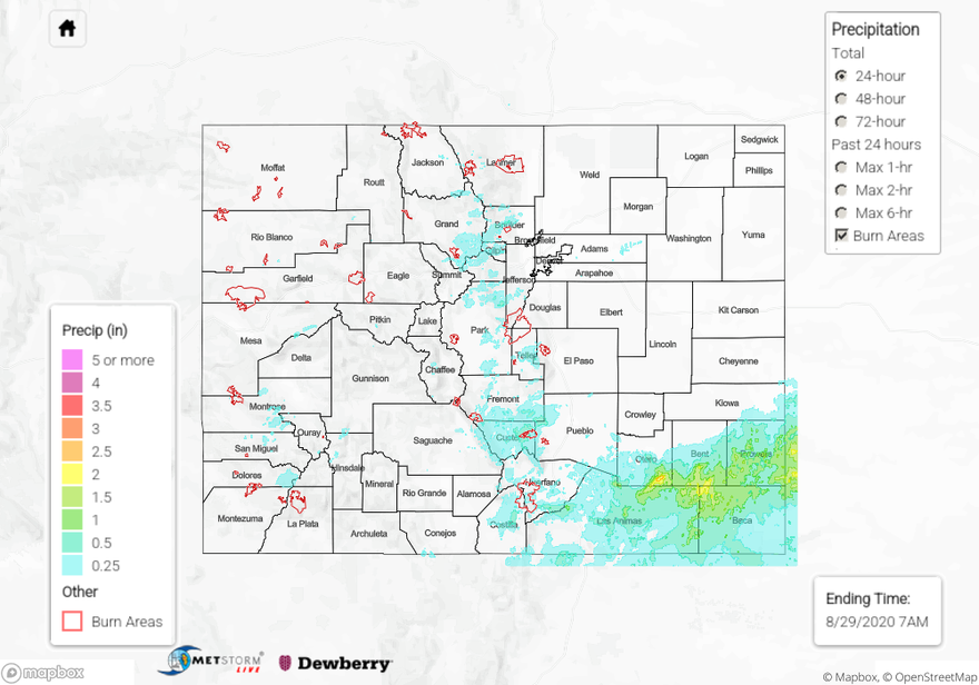
To see how much rain your neighborhood received over the last 24 to 72 hours, check out our State Precipitation Map below.
Click Here For Map Overview