Issue Date: Monday, September 19th, 2022
Issue Time: 11:05 AM MDT
Summary:
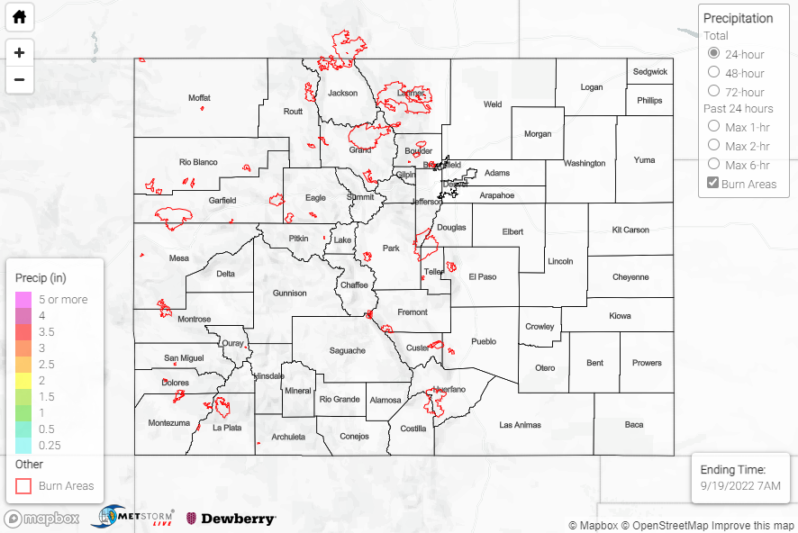
The ridge dominating the south-central U.S. built westward on Sunday, providing subsidence and dry conditions across Colorado. Precipitation was only observed at a handful of stations scattered throughout the state, with amounts of 0.05” or less. The main weather story of the past 24 hours was dense fog for portions of the eastern Plains this morning.
No flooding was reported yesterday. For precipitation estimates in our area, check out the map below. Remember, if you observe flooding in your area, you can use the “Report a Flood” page to make a flood report when you can safely do so.
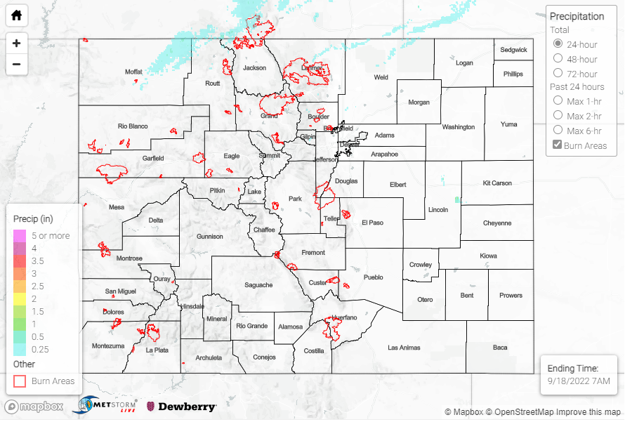
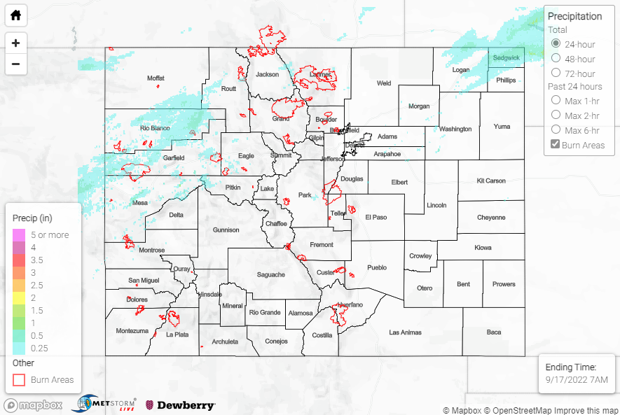
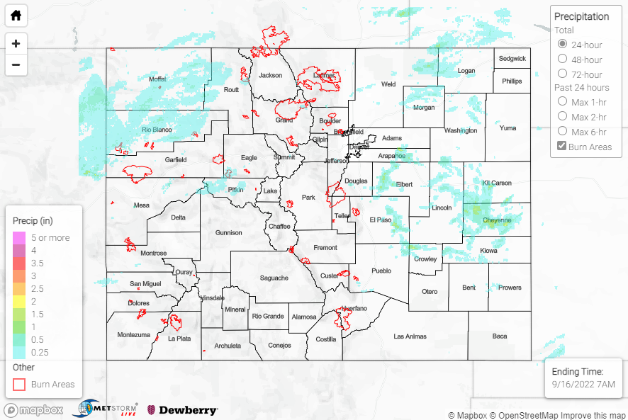
Click Here For Map Overview
The map below shows radar-estimated, rainfall gage-adjusted Quantitative Precipitation Estimates (QPE) across Colorado. The map is updated daily during the operational season (May 1 – Sep 30) by 11AM. The following six layers are currently available: 24-hour, 48-hour and 72-hour total precipitation, as well as maximum 1-hour, 2-hour and 6-hour precipitation over the past 24 hour period (to estimate where flash flooding may have occurred). The accumulation ending time is 7AM of the date shown in the bottom right corner. Also shown optionally are vulnerable fire burn areas (post 2012), which are updated throughout the season to include new, vulnerable burn areas. The home button in the top left corner resets the map to the original zoom.