Issue Date: Sunday, September 18th, 2022
Issue Time: 9:30 AM MDT
Summary:
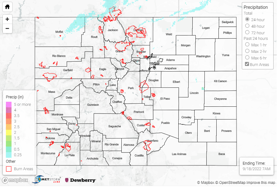
Colorado stayed quite dry yesterday, with rainfall generally only observed around the Denver area and northern Colorado. 0.11”-0.19” was reported in areas north of the Urban Corridor along the Front Range and Northern Plains, but most other observations along the Urban Corridor came in at under 0.1”. The highest precipitation observed yesterday was 0.43” in Steamboat Springs via a CoCoRaHS observer. Additionally, the western slope saw a few reports of 0.01-0.02” of rainfall from Mesowest gages. Those observations were few and far between- the majority of the western slope was precipitation-free.
No flooding was reported yesterday. For precipitation estimates in our area, check out the map below. Remember, if you observe flooding in your area, you can use the “Report a Flood” page to make a flood report when you can safely do so.
Click Here For Map Overview