Issue Date: Sunday, June 7th, 2015
Issue Time: 9:00 AM MDT
Summary:
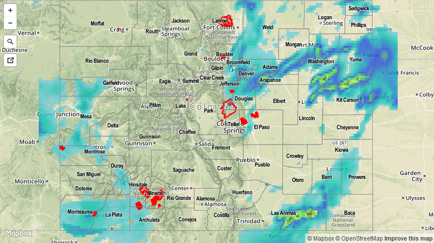
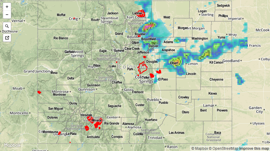
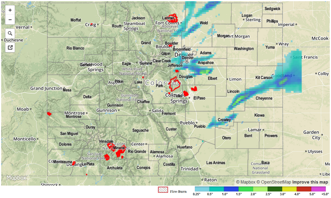
The moisture shield of former Hurricane Andres maintained its presence over Colorado yesterday, providing fuel for scattered showers and thunderstorms. The main band of large-scale lift stayed just west of Colorado into Utah, and this helped mitigate the potential flash flood risk, especially considering the relative quick storm motions. Even so, heavy rainfall from stronger storms produced street flooding across the Denver Metro area, and brief Flash Flooding was reported yesterday evening on a few roads in southeast portions of Archuleta County.
As far as severe storm reports are concerned, the following was reported to the local NWS offices:
62 mph Thunderstorm Wind Gust: 2 miles S of Alamosa
Tornado: 3 miles S of Thurman
For a statewide overview on yesterday’s rainfall, be sure and check the Storm Total Precipitation map below.