Issue Date: Saturday, June 6th, 2015
Issue Time: 9:00 AM MDT
Summary:
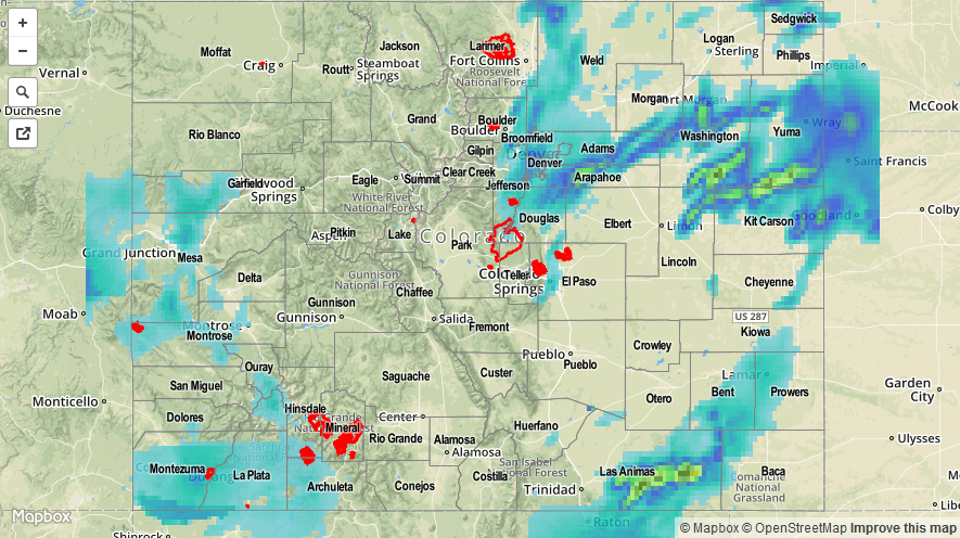
The moisture shield shed by now-defunct Hurricane Andres reached Colorado yesterday, increasing precipitable water to 150-200% of normal for June 5th, thanks to a deepening low pressure trough over the West Coast. This sent the moisture Colorado’s way in the southwesterly flow, accompanied by multiple disturbances that fired off showers and thunderstorms throughout the day, overnight, and into this morning. Strong-to-severe thunderstorms were fairly common over the Urban Corridor, Northeastern Plains, Palmer Ridge, and Southeastern Plains, producing heavy rain, hail, and a few tornadoes. As far as severe storm reports are concerned, the following was reported to the local NWS offices:
1.0-inch hail: 3 miles SW of Strasburg and Ponderosa Park
1.50-inch hail: 1 mile S of Parker
1.75-inch hail: Genoa and 5 miles ENE of Shamrock
Tornado: 4 miles SSW of Arickaree School and 6 miles E of Parker
Due to heavy rainfall produced by stronger storms, street and intersection flooding was reported across portions of the Urban Corridor. No other reports have been made at this time.