STP 07-05-2015: Isolated Thunderstorms East of the Divide, Scattered Thunderstorms West

Issue Date: Sunday, July 5th, 2015
Issue Time: 9:00 AM MDT

Summary:

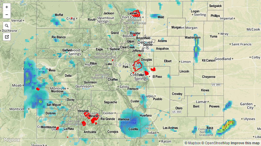
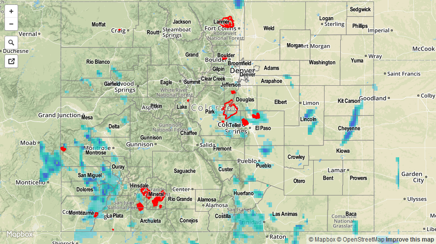
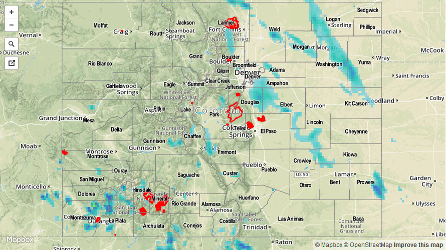
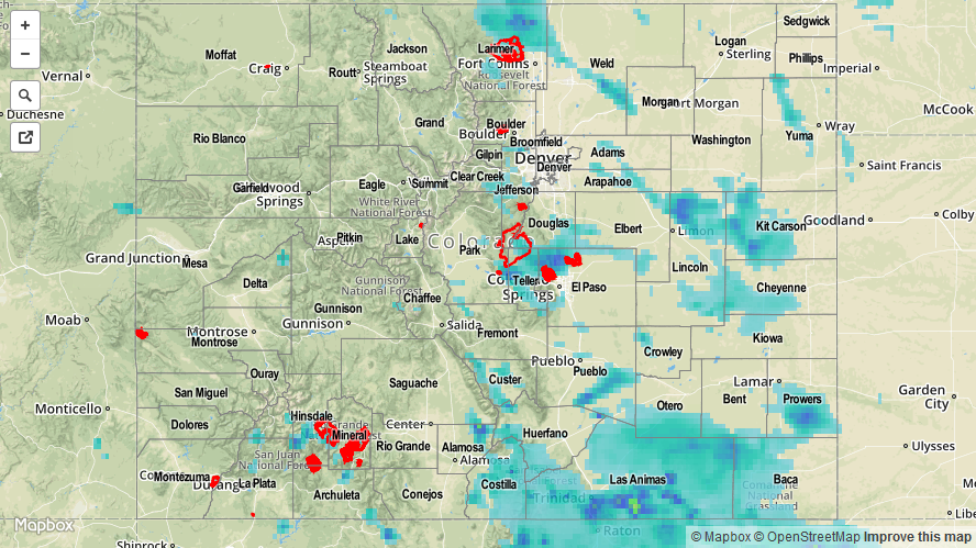
The upper-level ridge flattened out and slid east yesterday, allowing moisture “reinforcements” into western Colorado, which provided the fuel for scattered showers and thunderstorms. Precipitable water values reached above 1 inch and near record levels for the date, so thunderstorms produced rainfall very efficiently. At the current time, scattered showers continue near the CO/UT border.
Most of the activity yesterday was confined to the High Country, but a few isolated storms were able to develop across the Urban Corridor, Palmer Ridge, Northeast Plains, Southeast Plains, and Raton Ridge regions. A couple of those storms became severe.

As far as storm reports are concerned, the following were reported to local NWS offices:

2 miles S of Estes Park (Larimer County): Heavy rain, 0.85 inches/20 minutes
4 miles E of Ault (Weld County): 1.0 inch hail
6 miles E of Stonington (Baca County): Tornado
9 miles N of Campo (Baca County): 1.25 inch hail
7 miles SE of Stonington (Baca County): Pole barn destroyed by thunderstorm winds
4 miles SE of Stonington (Baca County): 2.25 inch hail, 75 mph thunderstorm wind gust

No flash flooding was reported yesterday. Be sure and check out the radar-derived Storm Total Precipitation map below for a statewide overview of yesterday’s rainfall.

07052015_STPImage
Storm Total Precip Legend

STP 07-04-2015: Scattered Thunderstorms Produced Periods of Heavy Rain

Issue Date: Saturday, July 4th, 2015
Issue Time: 9:00 AM MDT

Summary:

Widely scattered thunderstorms dotted the state yesterday, producing mainly lightning, small hail, and strong winds. A few storms were able to really tap into the available moisture and instability, producing periods of very heavy rain. One complex of storms, in particular, produced very heavy rain across the Pikes Peak region; a trained spotter reported that 1.06 inches fell in 40 minutes, 4 miles NNE of Colorado Springs. That’s equivalent to a 1.59 inches/hour rain rate. Even more impressive, a trained spotter 5 miles NW of Peterson AFB reported 0.79 inches of rain in 20 minutes, or 2.37 inches/hour.

As far as severe storm reports are concerned, the following were reported to local NWS offices:

7 miles ENE of Virginia Dale (Larimer County): 1.5 inch hail
4 miles S of the Air Force Academy (El Paso County): 1.0 inch hail

Urban street flooding occurred in Colorado Springs, but no other flash flooding was reported. Be sure and check out the radar-derived Storm Total Precipitation map below for a statewide overview of yesterday’s rainfall.

07042015_STPImage
Storm Total Precip Legend

STP 07-03-2015: Plenty of Moisture Available, but a Mid-Level Cap Suppressed Thunderstorm Coverage

Issue Date: Friday, June 3rd, 2015
Issue Time: 9:00 AM MDT

Summary:

Precipitable water values climbed into the 90th percentile statewide yesterday, providing plenty of fuel for efficient rainfall from thunderstorms. However, the coverage of thunderstorms was much less than expected. So, what happened? Diagnosis this morning shows that a mid-level cap was too stout for widespread thunderstorm development over the mountains, and this difficulty limited thunderstorms over the lower elevations, as well. Additionally, the weak disturbance that provided the early morning showers and thunderstorms over Eastern Colorado was slow to exit, leaving its associated subsidence over Eastern Colorado into the early afternoon hours. With that being said, the scattered showers and thunderstorms that did develop during the afternoon and evening hours produced brief heavy rainfall, and continued to do so as they moved to the east-southeast during the nighttime hours.

There was one severe storm report from yesterday; 1.5 inch hail was reported 1 mile SW of Howard (Fremont County). This came from an isolated supercell that was able to develop in the moist environment.

No flash flooding was reported yesterday, but six mudslides did occur near the Conttonwood Lake Campground in Chaffee County. 100-150 campers were evacuated after mudslides began around 4:30 PM yesterday. Be sure and check out the radar-derived Storm Total Precipitation map below for a statewide overview of yesterday’s rainfall.

07032015_STPImage
Storm Total Precip Legend

STP 07-02-2015: After a Short Break, Scattered Thunderstorms and Heavy Rain Returned to Colorado

Issue Date: Thursday, July 2nd, 2015
Issue Time: 9:00 AM MDT

Summary:

Upper-level high pressure remained anchored across the western United States, allowing moisture to stream into Colorado. Precipitable water values climbed to near, or above, 1 inch at all of the 4 usual reporting sites. With moisture that deep, rainfall was produced efficiently by thunderstorms. Showers and thunderstorms began first over the mountains, moving southeast with time, and made their way over the plains during the afternoon and evening hours. A few flood advisories were issued, but no flash flooding has been reported.
The big rainfall “winners” according to CoCoRaHS observers were the following:

Kit Carson County: 1.22 inches
Teller County: 1.09 inches
Lincoln County: 0.88 inches
Weld County: 0.76 inches

Be sure and check out the radar-derived Storm Total Precipitation map below for a statewide overview of yesterday’s rainfall.

07022015_STPImage
Storm Total Precip Legend