Issue Date: Friday, June 3rd, 2015
Issue Time: 9:00 AM MDT
Summary:
Precipitable water values climbed into the 90th percentile statewide yesterday, providing plenty of fuel for efficient rainfall from thunderstorms. However, the coverage of thunderstorms was much less than expected. So, what happened? Diagnosis this morning shows that a mid-level cap was too stout for widespread thunderstorm development over the mountains, and this difficulty limited thunderstorms over the lower elevations, as well. Additionally, the weak disturbance that provided the early morning showers and thunderstorms over Eastern Colorado was slow to exit, leaving its associated subsidence over Eastern Colorado into the early afternoon hours. With that being said, the scattered showers and thunderstorms that did develop during the afternoon and evening hours produced brief heavy rainfall, and continued to do so as they moved to the east-southeast during the nighttime hours.
There was one severe storm report from yesterday; 1.5 inch hail was reported 1 mile SW of Howard (Fremont County). This came from an isolated supercell that was able to develop in the moist environment.
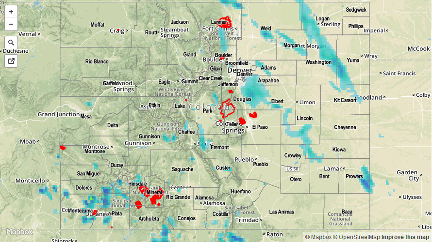
No flash flooding was reported yesterday, but six mudslides did occur near the Conttonwood Lake Campground in Chaffee County. 100-150 campers were evacuated after mudslides began around 4:30 PM yesterday. Be sure and check out the radar-derived Storm Total Precipitation map below for a statewide overview of yesterday’s rainfall.