STP 07-17-2015: Drying of the Atmosphere Limited Rainfall Intensities from Thunderstorms

Issue Date: Friday, July 17th, 2015
Issue Time: 9:00 AM MDT

Summary:

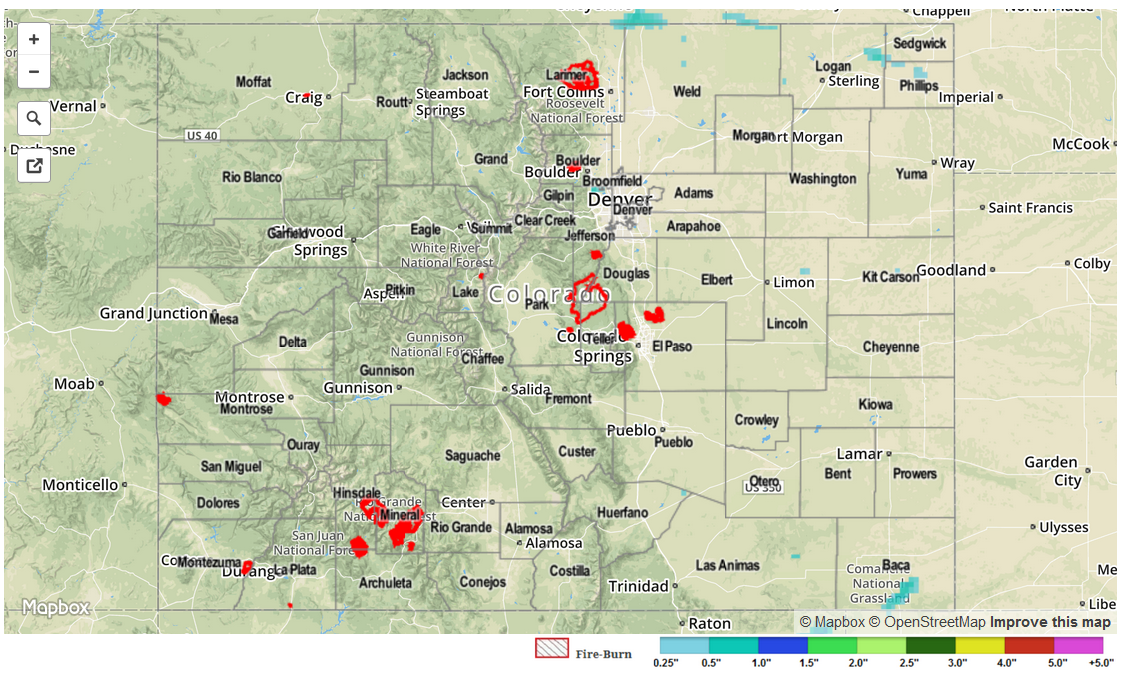
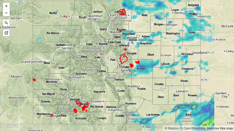
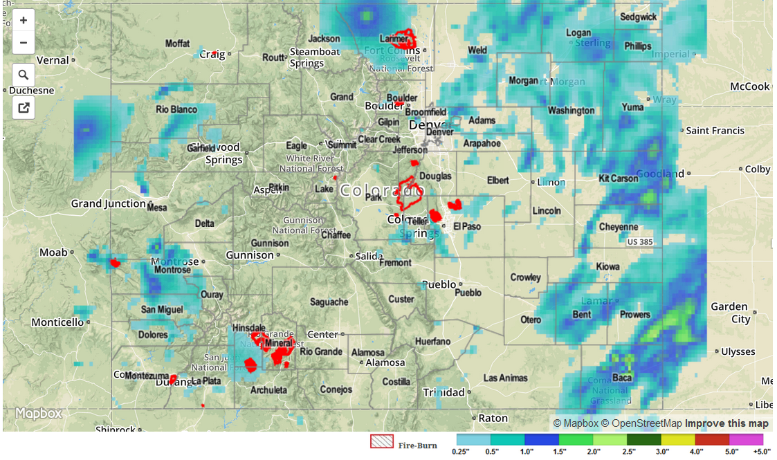
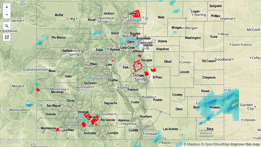
Substantial drying took place yesterday across the state, as precipitable water values fell from 0.8-1.2 inches in the early morning to 0.4-0.8 inches by the afternoon. This resulted in fewer thunderstorms, and those that did form produced much less intense rainfall than previous days. Most rainfall totals are below 0.05 inches across the state, with only a couple locations picking up more than 0.1 inches. One severe storm observation was reported yesterday; 1.25 inch hail fell 8 miles NE of Campo (Baca County).

No flash flooding occurred yesterday.

STP_snapshot_20150717

STP 07-16-2015: Heavy Rain Producing Storms Once Again Dotted The Landscape

Issue Date: 7/16/2015
Issue Time: 9:10AM

Summary:

Thunderstorm coverage decreased on Wednesday, at least compared to Tuesday. But that did not prevent some impressive storms to form once again. Most activity was confined to the east of the Continental Divide.

The heaviest rainfall was confined to very short lasting downpours. Several Urban Drainage ALERT gages notched up to 0.40 inches in 5 minutes. However, these storms were not able to maintain themselves, and hourly rainfall amounts were generally limited to 0.75 inches. The highest 24-hour rain totals came in from the Southeast Plains, where an observer in Baca County picked up 1.47 inches. Radar estimates suggest over 2 inches fell in parts of Baca and Las Animas counties. Meanwhile, locations west of the Divide were limited to about 0.25 inches of rainfall.

In addition to the rainfall, the presence of strong jet-stream level winds (up to 80mph) allowed for thunderstorms to transport some of this momentum down to the surface. Wind gusts up to 60 mph were reported at Denver International Airport around 5:30PM. A particularly strong storm in Baca County produced 1.25 inch hail, and very strong winds that snapped large tree branches.

For 24-hour rainfall amounts in your area, be sure to check out our radar estimated rainfall map below. No official flooding reports were received yesterday.

20150716_STPImage
Storm Total Precip Legend

STP 07-15-2015: Widespread Showers and Thunderstorms Roamed the State

Issue Date: Wednesday, July 15th, 2015
Issue Time: 9:00 AM MDT

Summary:

An uptick in coverage of showers and thunderstorms occurred yesterday as subtropical moisture continued to flow in from the southwest. Precipitable water values climbed to near, or above, an inch statewide, providing plenty of fuel for storms to produce heavy rainfall. There were a few flood advisories issued across the high country due to slow-moving storms, but no flash flooding reports have come in from those areas as of this morning. However, flash flooding accompanied a strong-to-severe thunderstorm over Prowers County, 1 mile North of Lamar. Other reports from near Lamar show thunderstorm wind damage (downed power pole 4 miles W of Lamar) and a thunderstorm wind gust of 77 mph (4 miles W of Lamar).

Slow-moving storms and efficient rainfall production due to deep moisture brought about moderate-to-heavy rainfall for numerous locations. According to CoCoRaHS observers, these counties were the big winners of rainfall totals:

Prowers: 1.05 inches, 0.96 inches
La Plata: 0.98 inches
Washington: 0.53 inches
Denver and Adams: 0.47 inches

Be sure and check the 24-hour, radar-derived, Storm Total Precipitation map below for an overview on statewide rainfall.

STP_snapshot_20150715

STP 07-14-2015: Subtropical Moisture Continued Streaming into Colorado, Heavy Rain Observed

Issue Date: Tuesday, July 14th, 2015
Issue Time: 9:00 AM MDT

Summary:

As the upper-level ridge remain anchored over the central US, subtropical moisture was pulled northward along its western periphery into Colorado. This allowed for an afternoon and evening of scattered thunderstorms over the High Country, more isolated to the east. A few showers and weak thunderstorms are ongoing across western Colorado at this time as the moist air continues to push in from the southwest. A few isolated strong thunderstorms were able to fire across the Southeast Plains, near the CO/KS border. These storms produced brief heavy rain, lightning, and gusty winds.

According to CoCoRaHS observers, the following counties were the big “rainfall” winners yesterday:

Clear Creek: 1.34 inches
Prowers: 0.87 inches
Eagle: 0.66 inches
Gunnison: 0.53 inches
Summit: 0.52 inches

Be sure and check out the radar-derived Storm Total Precipitation map below for a statewide overview of yesterday’s rainfall. No flash flooding was reported.

20150714_STPImage
Storm Total Precip Legend