Issue Date: 7/16/2015
Issue Time: 9:10AM
Summary:
Thunderstorm coverage decreased on Wednesday, at least compared to Tuesday. But that did not prevent some impressive storms to form once again. Most activity was confined to the east of the Continental Divide.
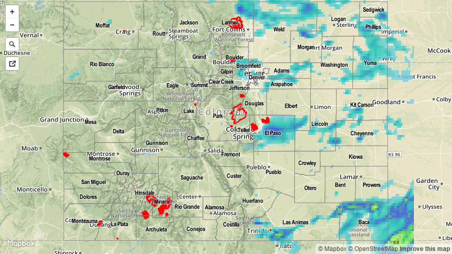
The heaviest rainfall was confined to very short lasting downpours. Several Urban Drainage ALERT gages notched up to 0.40 inches in 5 minutes. However, these storms were not able to maintain themselves, and hourly rainfall amounts were generally limited to 0.75 inches. The highest 24-hour rain totals came in from the Southeast Plains, where an observer in Baca County picked up 1.47 inches. Radar estimates suggest over 2 inches fell in parts of Baca and Las Animas counties. Meanwhile, locations west of the Divide were limited to about 0.25 inches of rainfall.
In addition to the rainfall, the presence of strong jet-stream level winds (up to 80mph) allowed for thunderstorms to transport some of this momentum down to the surface. Wind gusts up to 60 mph were reported at Denver International Airport around 5:30PM. A particularly strong storm in Baca County produced 1.25 inch hail, and very strong winds that snapped large tree branches.
For 24-hour rainfall amounts in your area, be sure to check out our radar estimated rainfall map below. No official flooding reports were received yesterday.