Issue Date: Tuesday, July 14th, 2015
Issue Time: 9:00 AM MDT
Summary:
As the upper-level ridge remain anchored over the central US, subtropical moisture was pulled northward along its western periphery into Colorado. This allowed for an afternoon and evening of scattered thunderstorms over the High Country, more isolated to the east. A few showers and weak thunderstorms are ongoing across western Colorado at this time as the moist air continues to push in from the southwest. A few isolated strong thunderstorms were able to fire across the Southeast Plains, near the CO/KS border. These storms produced brief heavy rain, lightning, and gusty winds.
According to CoCoRaHS observers, the following counties were the big “rainfall” winners yesterday:
Clear Creek: 1.34 inches
Prowers: 0.87 inches
Eagle: 0.66 inches
Gunnison: 0.53 inches
Summit: 0.52 inches
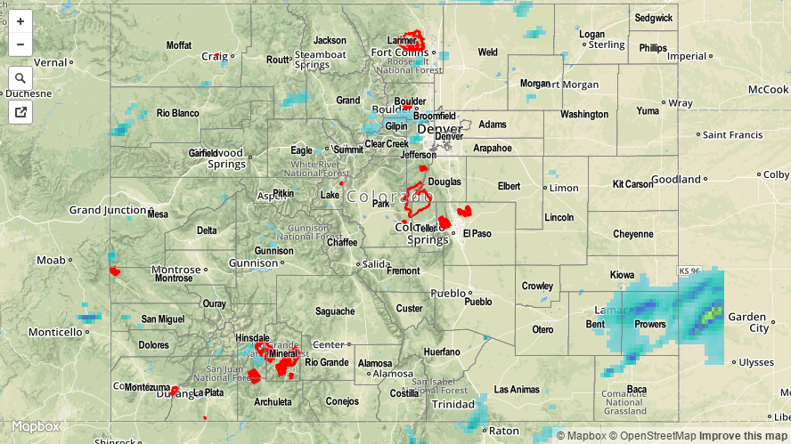
Be sure and check out the radar-derived Storm Total Precipitation map below for a statewide overview of yesterday’s rainfall. No flash flooding was reported.