STP 05-13-2016: Mostly Sunny, Warm, and Dry

Issue Date: Friday, May 13th, 2016
Issue Time: 9:00 AM MDT

Summary:

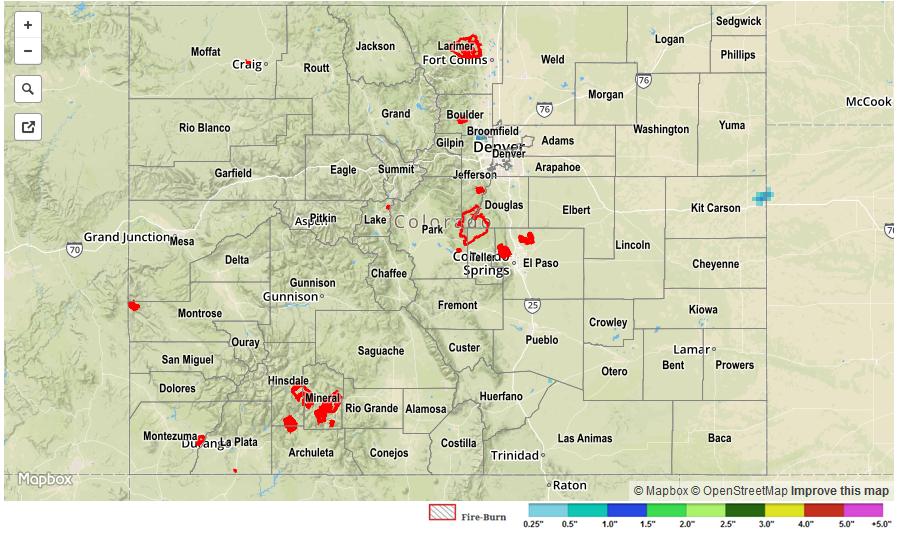
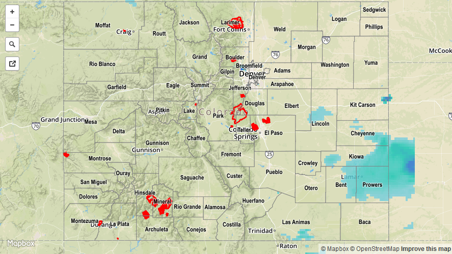
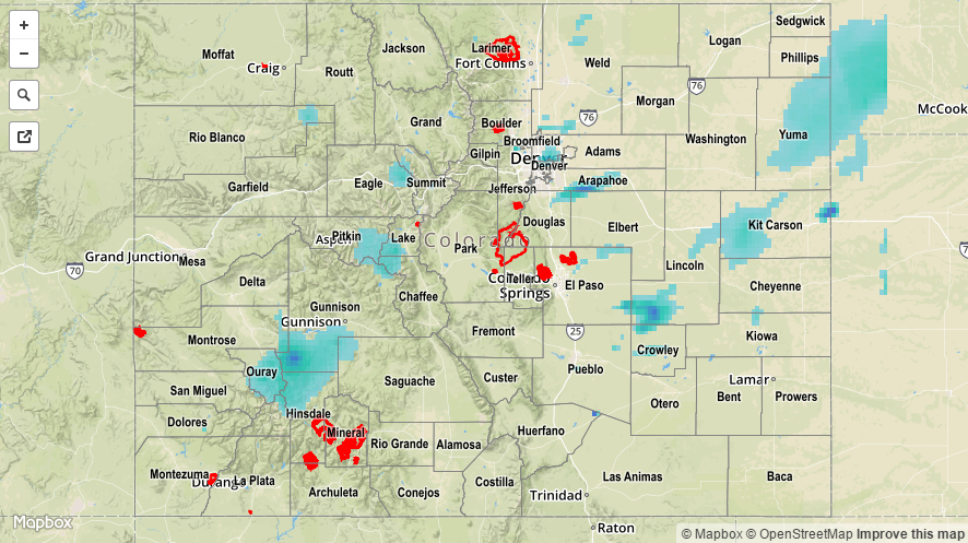
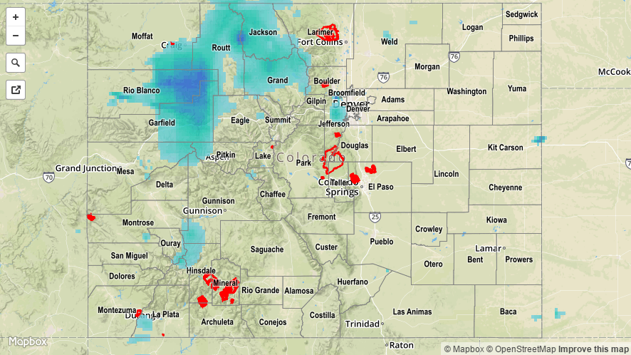
High pressure at the surface and a building ridge aloft worked together to keep Colorado sunny and dry yesterday, with temperatures climbing back up to seasonal norms. A few clouds showed up over the higher terrain (and adjacent lower elevations) as the daytime heat worked on the residual moisture, resulting in nothing more than virga and brief gusty winds.

No flash flooding occurred yesterday.

STP_20160513

STP 05-12-2016: Downtick in Showers/Thunderstorms Compared to Previous Days

Issue Date: Thursday, May 12th, 2016
Issue Time: 9:00 AM MDT

Summary:

A disturbance rounded the base of the upper-level trough, kicking off another round of showers and thunderstorms. Activity was less in number and coverage across much of the state, minus the Southeast Plains, Raton Ridge, and Palmer Ridge where moisture and instability was best. Showers and thunderstorms came to an end during the late afternoon/evening from north-to-south and west-to-east as drier air and upper-level subsidence took over.

Rainfall winners, according to CoCoRaHS (reports as of 7:00 AM MDT):

Lincoln County: 0.43 inches
Cheyenne County: 0.39 inches
El Paso County: 0.30 inches
Baca County: 0.30 inches
Kit Carson County: 0.28 inches
Prowers County: 0.27 inches

No flash flooding occurred yesterday. A Flood Advisory is ongoing for the Cache La Poudre River from Windsor through Greeley. For a look at 24-hour precipitation, please see the STP map below.

20160512_STPImage
Storm Total Precip Legend

STP 05-11-2016: Cool Front Helped Focus Scattered Showers and Thunderstorms

Issue Date: Wednesday, May 11th, 2016
Issue Time: 9:00 AM MDT

Summary:

A cool front passing through the state combined with a mid-/upper-level disturbance to bring about another period of scattered showers and thunderstorms. The cool front provided a focus for storm activity, with afternoon/evening showers and thunderstorms being confined mainly between I-76/Highway 50 over eastern Colorado, and south of I-70 over the High Country. Only a few isolated showers/weak thunderstorms were able to get going elsewhere.

Rainfall winners, according to CoCoRaHS (reports as of 7:00 AM MDT):

Denver County: 0.61 inches
Ouray County: 0.57 inches
Yuma County: 0.40 inches
Larimer County: 0.36 inches
Douglas County: 0.31 inches

One severe weather report was submitted for 1.0” diameter hail in El Paso County, 2 miles NNE of Falcon.

No flash flooding occurred yesterday. A Flood Advisory is ongoing for the Cache La Poudre River from Windsor through Greeley, for the potential to flood low lying areas. It is not expected to reach flood stage. For a look at 24-hour precipitation, please see the STP map below.

20160511_STPImage
Storm Total Precip Legend

STP 05-10-2016: Upper-Level Trough Brought Another Day of Unsettled Weather

Issue Date: Tuesday, May 10th, 2016
Issue Time: 9:00 AM MDT

Summary:

The upper-level trough slowly shifted eastward across the state yesterday, providing broad-scale support for another period of showers and thunderstorms. IPW values hovered near average for the usual reporting stations, but climbed into the 90th percentile for the Grand Junction station. The better availability of moisture over the High Country, plus the influence of orographics, led to more numerous storms over the mountains, and more isolated activity over the lower elevations. Rain rates never reached flash flood thresholds, but persistent rainfall led to a few higher totals. A few showers continue this morning.

Rainfall winners, according to CoCoRaHS (reports as of 7:00 AM MDT):

Eagle County: 1.0 inches
Routt County: 0.91 inches
Mesa County: 0.68 inches
Delta County: 0.68 inches
Garfield County: 0.59 inches

No flash flooding occurred yesterday. A Flood Advisory is ongoing for the Cache La Poudre River from Windsor through Greeley, for the potential to flood low lying areas. It is not expected to reach flood stage. For a look at 24-hour precipitation, please see the STP map below.

20160510_STPImage
Storm Total Precip Legend