Issue Date: Thursday, May 12th, 2016
Issue Time: 9:00 AM MDT
Summary:
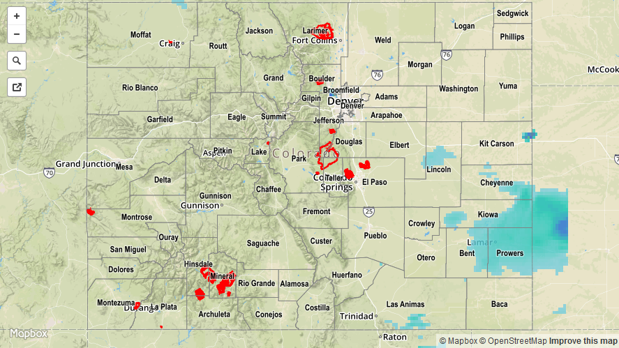
A disturbance rounded the base of the upper-level trough, kicking off another round of showers and thunderstorms. Activity was less in number and coverage across much of the state, minus the Southeast Plains, Raton Ridge, and Palmer Ridge where moisture and instability was best. Showers and thunderstorms came to an end during the late afternoon/evening from north-to-south and west-to-east as drier air and upper-level subsidence took over.
Rainfall winners, according to CoCoRaHS (reports as of 7:00 AM MDT):
Lincoln County: 0.43 inches
Cheyenne County: 0.39 inches
El Paso County: 0.30 inches
Baca County: 0.30 inches
Kit Carson County: 0.28 inches
Prowers County: 0.27 inches
No flash flooding occurred yesterday. A Flood Advisory is ongoing for the Cache La Poudre River from Windsor through Greeley. For a look at 24-hour precipitation, please see the STP map below.