STP 07-04-2016: Fewer Storms Overall, but Heavy Downpours Still Caused a Few Issues

Issue Date: Monday, July 4, 2016
Issue Time: 9:00 AM MDT

Summary:

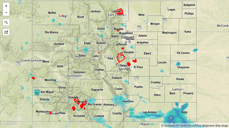
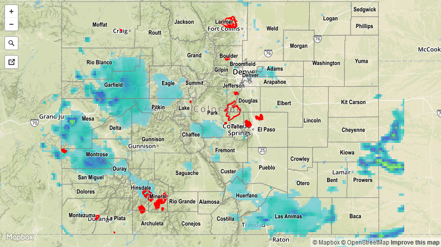
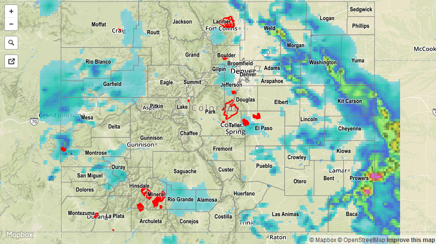
Moisture began the downslope yesterday, falling across most locations statewide throughout the day. However, moisture was still sufficient for most areas to produce bouts with heavy rainfall. The exception to this was over the far Northeast Plains where drier air precluded the heavy rainfall threat. A strong thunderstorms was reported over Baca County, where 0.88 inch diameter hail and heavy rain fell in Springfield. Out west, a couple heavy rain/mudslide issues were reported:

2 miles S of De Beque (Mesa County): Torrential rainfall filled ditches quickly
6 miles SSW of Carbondale (Pitkin County): Mudslide at the confluence of Middle and Lower Thompson Creek, just outside of Carbondale.

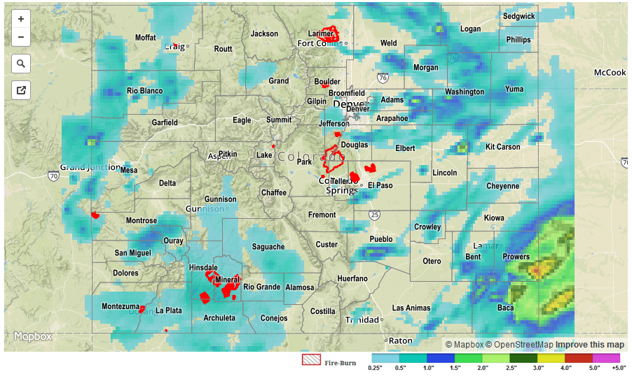
For a closer look at rainfall totals in your area, please see the STP map below for a look at 24-hour precipitation totals.

20160704_STPImage
Storm Total Precip Legend

STP 07-03-2016: Widespread Rainfall, But No Significant Flooding

Issue Date: Sunday, July 3rd, 2016
Issue Time: 9:00AM MDT

Colorado’s precipitation during the summertime can usually be summed up as feast-or-famine. Saturday was an exception to this saying as limited instability provided just enough, but not too much fuel for widespread shower and thunderstorm activity across the state. Of course, there were a few isolated reports of very heavy rainfall. The Southeast Plains received over 1.5 inches per hour (including 0.73 in./15 minutes at a USGS gage) in Las Animas, Bent, Prowers and Kiowa counties. Meanwhile, monsoonal moisture help support short-term heavy rainfall across the western slope with many sites seeing 0.5 to 1.0 inch of beneficial rainfall. An Areal Flood Advisory was issued for a particularly strong evening thunderstorm over Mesa and Garfield counties.

In addition to the rainfall, a weak and brief tornado was reported in a rural area of Adams County. A few hail reports, in the 0.25 to 0.5 inch range, came in along the Utah border of Mesa County.

There were no official flooding reports yesterday, but a few observations across the western and southwestern parts of the state noted “a lot of standing water”. For specific rainfall estimates in your area, check out our Storm Total Precipitation map below.

20160703_STPImage
Storm Total Precip Legend

STP 07-02-2016: Abundant Moisture Fueled Bouts with Heavy Rainfall

Issue Date: Saturday, July 2nd, 2016
Issue Time: 9:00 AM MDT

Summary:

Precipitable water values set daily 12Z records at both Grand Junction and Denver, pointing to just how moist the air mass was statewide. With the abundant moisture in place, and cloud warm layers approximately 3 km deep, thunderstorms were able to tap into efficient rainfall processes. Street/field flooding occurred underneath most strong thunderstorms. Many places that received the heaviest rain are rural areas, so confirmed reports are few and far between. Pictures from Twitter show that Castle Rock experienced flooded roads and brief power outages due to a severe thunderstorm.

Storm reports are as follows:

2.0 inch hail: 1 mile E of Castle Rock (Douglas County)
1.5 inch hail: 2 miles E of Castle Rock (Douglas County)
1.25 inch hail: 7 miles E of Colorado City (Pueblo County)
1.0 inch hail: 3 miles NNE of Castle Rock (Douglas County)
60 mph Thunderstorm Wind Gust: Walsh (Baca County)
Heavy Rain/Flooding: 7 miles E of Colorado City (Pueblo County)

Please see the STP map below for a look at 24-hour precipitation totals.

STP_20160702

STP 07-01-2016: Widespread Showers/Thunderstorms Produced Bouts with Heavy Rain

Issue Date: Friday, July 1st, 2016
Issue Time: 9:00 AM MDT

Summary:

Precipitable water values topped an inch across much of the state, fueling widespread showers/thunderstorms across the state. A few showers were ongoing at the beginning of the period, but by lunchtime coverage expanded across the mountains. Shortly after, showers/thunderstorms spread over the lower elevations of eastern Colorado. With the amount of moisture available, it is no secret why storms produced rainfall efficiently. Heavy rain fell underneath thunderstorms, producing minor flooding, mainly street/field flooding, across multiple locations.

Storm reports are as follows:

67 mph Thunderstorm Wind Gust: 3 miles NE of Genoa (Lincoln County)
70 mph Thunderstorm Wind Gust: 3 miles N of Wiggins (Morgan County)
Heavy Rain: 1.25 inches/28 minutes fell 2 miles E of Longmont (Boulder County), 0.7 inches/30 minutes fell 2 miles NW of Peterson AFB (El Paso County), 0.93 inches/15 minutes fell 12 miles S of Cope (Kit Carson County)
Minor Flooding: Caused by 0.5 inch of rain in 15 minutes, 2 miles NNE of Norwood (Montrose County)
Tornado: 13 miles NW of Bethune (Kit Carson County)

For a statewide look at 24-hour precipitation totals, please take a look at the Storm Total Precipitation map below.

20160701_STPImage
Storm Total Precip Legend