Issue Date: Friday, July 1st, 2016
Issue Time: 9:00 AM MDT
Summary:
Precipitable water values topped an inch across much of the state, fueling widespread showers/thunderstorms across the state. A few showers were ongoing at the beginning of the period, but by lunchtime coverage expanded across the mountains. Shortly after, showers/thunderstorms spread over the lower elevations of eastern Colorado. With the amount of moisture available, it is no secret why storms produced rainfall efficiently. Heavy rain fell underneath thunderstorms, producing minor flooding, mainly street/field flooding, across multiple locations.
Storm reports are as follows:
67 mph Thunderstorm Wind Gust: 3 miles NE of Genoa (Lincoln County)
70 mph Thunderstorm Wind Gust: 3 miles N of Wiggins (Morgan County)
Heavy Rain: 1.25 inches/28 minutes fell 2 miles E of Longmont (Boulder County), 0.7 inches/30 minutes fell 2 miles NW of Peterson AFB (El Paso County), 0.93 inches/15 minutes fell 12 miles S of Cope (Kit Carson County)
Minor Flooding: Caused by 0.5 inch of rain in 15 minutes, 2 miles NNE of Norwood (Montrose County)
Tornado: 13 miles NW of Bethune (Kit Carson County)
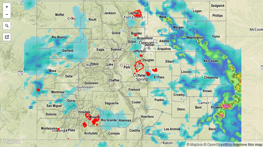
For a statewide look at 24-hour precipitation totals, please take a look at the Storm Total Precipitation map below.