Issue Date: Sunday, July 3rd, 2016
Issue Time: 9:00AM MDT
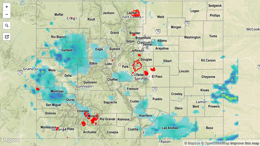
Colorado’s precipitation during the summertime can usually be summed up as feast-or-famine. Saturday was an exception to this saying as limited instability provided just enough, but not too much fuel for widespread shower and thunderstorm activity across the state. Of course, there were a few isolated reports of very heavy rainfall. The Southeast Plains received over 1.5 inches per hour (including 0.73 in./15 minutes at a USGS gage) in Las Animas, Bent, Prowers and Kiowa counties. Meanwhile, monsoonal moisture help support short-term heavy rainfall across the western slope with many sites seeing 0.5 to 1.0 inch of beneficial rainfall. An Areal Flood Advisory was issued for a particularly strong evening thunderstorm over Mesa and Garfield counties.
In addition to the rainfall, a weak and brief tornado was reported in a rural area of Adams County. A few hail reports, in the 0.25 to 0.5 inch range, came in along the Utah border of Mesa County.
There were no official flooding reports yesterday, but a few observations across the western and southwestern parts of the state noted “a lot of standing water”. For specific rainfall estimates in your area, check out our Storm Total Precipitation map below.