Issue Date: Saturday, July 2nd, 2016
Issue Time: 9:00 AM MDT
Summary:
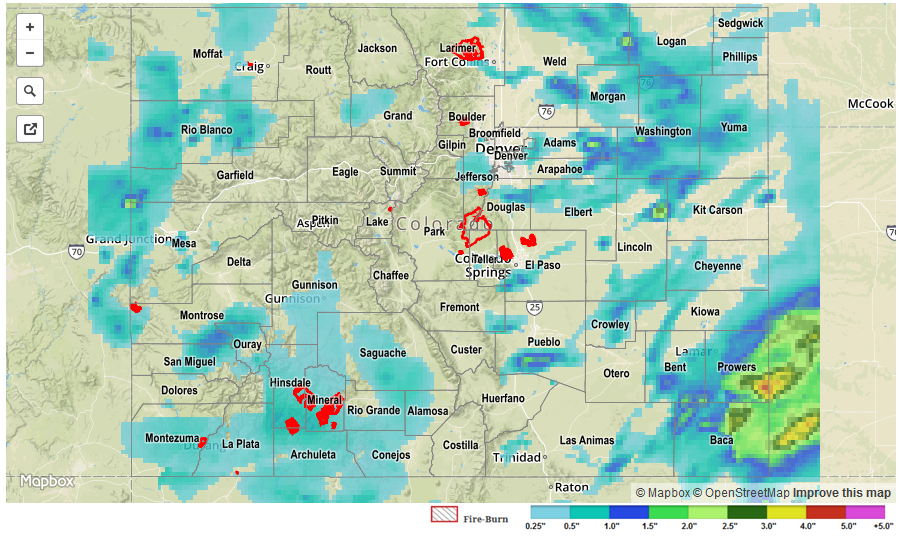
Precipitable water values set daily 12Z records at both Grand Junction and Denver, pointing to just how moist the air mass was statewide. With the abundant moisture in place, and cloud warm layers approximately 3 km deep, thunderstorms were able to tap into efficient rainfall processes. Street/field flooding occurred underneath most strong thunderstorms. Many places that received the heaviest rain are rural areas, so confirmed reports are few and far between. Pictures from Twitter show that Castle Rock experienced flooded roads and brief power outages due to a severe thunderstorm.
Storm reports are as follows:
2.0 inch hail: 1 mile E of Castle Rock (Douglas County)
1.5 inch hail: 2 miles E of Castle Rock (Douglas County)
1.25 inch hail: 7 miles E of Colorado City (Pueblo County)
1.0 inch hail: 3 miles NNE of Castle Rock (Douglas County)
60 mph Thunderstorm Wind Gust: Walsh (Baca County)
Heavy Rain/Flooding: 7 miles E of Colorado City (Pueblo County)
Please see the STP map below for a look at 24-hour precipitation totals.