STP 08-09-2016: Mainly Quiet West of the Divide, a Few Stronger Storms East

Issue Date: Tuesday, August 9th, 2016
Issue Time: 9:00 AM MDT

Summary:

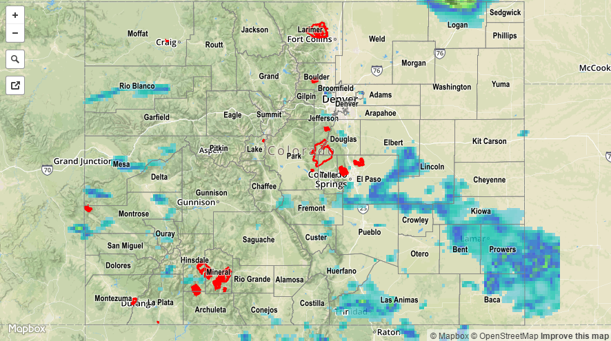
Drier air invaded from the west as the upper-level trough continued to dig across the western US, which helped to shut down most activity yesterday west of the Continental Divide. A few thunderstorms over San Miguel and Montrose counties took exception to this dry air, producing small hail (mainly pea-sized) and brief periods of light-to-moderate rainfall. Elsewhere, mostly sunny skies were the result of the overall atmospheric setup with only a couple isolated showers over the higher terrain.

East of the Divide, a few stronger thunderstorms rumbled, producing periods of heavy rain and hail, with one severe hail report of 1.0 inch hail from 9 miles W of Peetz (Logan County). Heavy rain reports are as follows:

1.75 inches of heavy rain: 8 miles NE of Spanish Peaks (Huerfano County)
1.18 inches of heavy rain: 4 miles S of Spanish Peaks (Las Animas County)

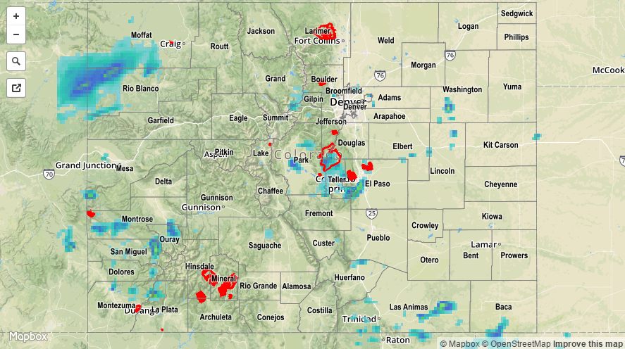
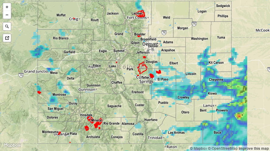
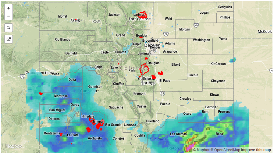
No flash flooding was reported, but street/field ponding likely occurred underneath stronger thunderstorms. A small stream, associated with the first listed heavy rain report above, was reported to be running about 10x larger than normal. For a statewide look at 24-hour precipitation totals, please take a look at the Storm Total Precipitation map below.

20160809_STPImage
Storm Total Precip Legend

STP 08-08-2016: Drier Air Pushed in from the West, but Plenty of Moisture Remained

Issue Date: Monday, August 8th, 2016
Issue Time: 9:00 AM MDT

Summary:

A deepening trough over the western US began the influx of drier air into western Colorado yesterday, lowering precipitable water values across much of the area. This kept most rain rates west of the Divide below flash flood thresholds. The exception to this was over the San Juan Mountains and Southwest Slope regions, where better moisture was able to hang on, providing enough fuel for brief periods of heavy rain. In fact, a debris flow was reported 5 miles west of Telluride (San Miguel County); water and debris washed over Highway 145 between Sawpit and Placerville at several points.

East of the Divide, better moisture could be found, with surface dewpoints hanging on in the 60s across much of the lower elevations, pushing IPW values above 1 inch. This moisture allowed isolated-to-scattered thunderstorms to produce efficient rainfall, likely resulting in some minor street/field ponding/flooding. Only one severe storm observation was reported yesterday; 1 inch hail, 5 miles west of Falcon (El Paso County).

For a statewide look at 24-hour precipitation totals, please take a look at the Storm Total Precipitation map below.

20160808_STPImage
Storm Total Precip Legend

STP 08-07-2016: Axis Of Heaviest Rainfall Moved Eastward

Issue Date: Sunday, August 7th, 2016
Issue Time: 9:00 AM MDT

Summary

Unlike the middle and end of last week, the majority of heavy rainfall moved eastward over the Continental Divide on Saturday. Yesterday morning’s cloud cover pattern was a good proxy of who was going to see the most action. With generally clear skies in the southeast part of the state, this is where the heaviest rainfall fell. Several rounds of thunderstorms moved off the Palmer Ridge and intensified farther east towards the Kansas border. Although the highest 24-hour observations were limited to around 1.5 inches, there was undoubtedly higher amounts between gages. Radar-based estimates suggest up to 3 inches fell in the eastern parts of the Palmer Ridge, with up to 2 inches over the Southeast Plains. A strong, slow-moving storm also dumped up to 1.5 inches in 1 hour or less just west of Fort Collins. This prompted an areal flood advisory, but fortunately the storm quickly dissipated.

Even though coverage decreased west of the Divide, there were still storms to be had. Scattered short-term heavy rainfall amounts in the 0.5-0.75 inch range were common over the Grand Valley, Central Mountains and San Juans. A flash flood warning was hoisted in Montrose county with several debris slides and flooding reported in Naturita. A debris slide was also reported in Placerville. Though the rainfall amounts were not particularly heavy on Saturday, the area has seen copious amounts of rain over the past 4-5 days leading to water-logged soil. Many areas have seen at least a month’s worth of rainfall during that time-span, something that we will summarize more in the days ahead.

For rainfall estimates specific to your area, check out our Storm Total Precipitation map below.

20160807_STPImage
Storm Total Precip Legend

STP 08-06-2016: Heavy Rainfall Across Southern Tier; Rainfall Never Came Farther North

Issue Date: Saturday, August 6th, 2016
Issue Time: 9:00 AM MDT

Summary

Very high moisture content continued to provide beneficial rainfall for southwest Colorado on Friday. Observed daily rain totals exceeding 1 inch were noted in La Plata, Montezuma, San Miguel, Archuleta, Dolores, Gunnison and Delta counties. The highest 24-hour totals in the region were over 2.5 inches in parts of La Plata County. It is possible that even heavier rainfall fell between rain gages. One flooding report was received from Durango where a debris slide caused a temporary closing of a road. About half a dozen flood warnings and advisories were issued throughout the day. In all, many parts of the San Juan mountains and Southwest Slope have received over 4 inches of rainfall over the past 96 hours. Lighter, but still meaningful, rainfall amounts have also been tallied over the Grand Valley and Central Mountains. Thank you monsoon.

The other area of heavy rainfall was over the Raton Ridge and Southeast Plains. Slow moving storms crossed into CO from NM in the mid-afternoon, initially delivering very heavy rainfall exceeding 1 inch for many (mostly rural) locations. The intensity lightened up by evening but light to moderate rainfall persisted through midnight. Several flood advisories were in effect, though no flooding reports were received. A report of 2.38 inches of 24-hour rainfall was noted in Las Animas County. However, radar estimates suggest that over 4 inches of rainfall likely occurred over isolated parts of the region.

Finally, it is interesting to note that heavy rainfall was expected farther north over the Palmer Ridge. Despite the seemingly high precipitable water (PW) values exceeding 1 inch, this never materialized because it took longer than expected to moisten the lower-levels of the atmosphere. In other words, although PW was high, it was “top-heavy” or located mostly in above the lowest ~5,000 feet, making it ineffective in fueling thunderstorms.

For rainfall estimates specific to your area, check out our Storm Total Precipitation map below.

STP_20160806
Storm Total Precip Legend