Issue Date: Monday, August 8th, 2016
Issue Time: 9:00 AM MDT
Summary:
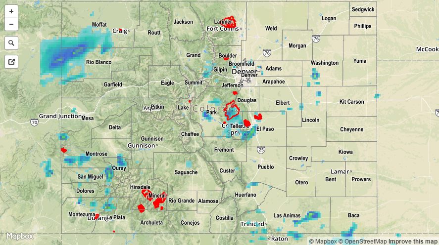
A deepening trough over the western US began the influx of drier air into western Colorado yesterday, lowering precipitable water values across much of the area. This kept most rain rates west of the Divide below flash flood thresholds. The exception to this was over the San Juan Mountains and Southwest Slope regions, where better moisture was able to hang on, providing enough fuel for brief periods of heavy rain. In fact, a debris flow was reported 5 miles west of Telluride (San Miguel County); water and debris washed over Highway 145 between Sawpit and Placerville at several points.
East of the Divide, better moisture could be found, with surface dewpoints hanging on in the 60s across much of the lower elevations, pushing IPW values above 1 inch. This moisture allowed isolated-to-scattered thunderstorms to produce efficient rainfall, likely resulting in some minor street/field ponding/flooding. Only one severe storm observation was reported yesterday; 1 inch hail, 5 miles west of Falcon (El Paso County).
For a statewide look at 24-hour precipitation totals, please take a look at the Storm Total Precipitation map below.