Issue Date: Sunday, August 21st, 2016
Issue Time: 9:10AM MDT
Summary
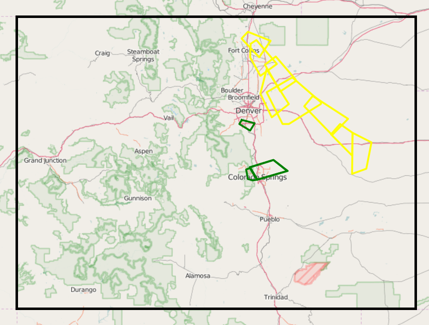
Residual moisture combined with the still-strong August sun fueled scattered thunderstorm activity in the southern parts of Colorado on Saturday. The climatologically favored regions of the Sangre de Cristo and San Juan mountain were the beneficiaries of this activity. Although the highest observed 24-hour rainfall amounts were only about 0.75 inches (only 0.40 inches on CoCoRaHS), higher totals were estimated between gages. Radar estimated amounts of about 1.5 inches were noted on isolated portions of the San Juan mountains. Two flood advisories were issued: one for Mineral County and another for Las Animas County. A flash flood warning was issued as a precaution for the Hayden Pass burn scar area. Fortunately, no flooding reports were received this morning.
In addition to the rainfall aspect, a few severe thunderstorm warnings were also posted for hail and high winds. Observed hail reports up to 1.0 inch were reported in Custer and Archuleta counties. The most severe storm was likely a slow moving cell over Las Animas county though this took place over rural terrain and did not garner any observations.
Meanwhile, for the rest of the state, especially east of the Continental Divide, it felt like fall with high temperatures running up to 15F below their seasonal normal. This was a one day event, with summer back in full swing on Sunday.
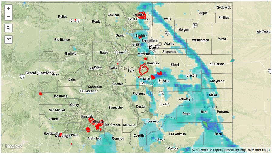
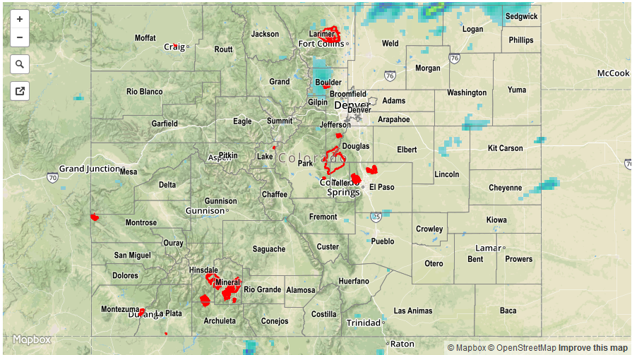
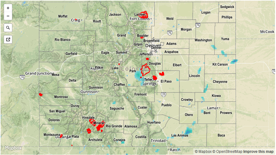
For rainfall estimates specific to your area, check out our Storm Total Precipitation map below.