Issue Date: Thursday, August 18th, 2016
Issue Time: 9:00 AM MDT
Summary:
With a mostly disorganized upper-level pattern, showers and thunderstorms relied largely on terrain influences and weak surface convergence to drive yesterday’s activity. Showers/storms favored the higher terrain, especially across the western third of the state where better support from the mid-/upper-level trough could be found. Widely scattered showers/storms also developed across the lower elevations of eastern Colorado as weak surface convergence developed along/near the Palmer Ridge. Nearly all storms were garden variety, as the environment could not quite develop the punch needed for heavy rainfall.
Rainfall winners, according to CoCoRaHS observations (reports as of 7:00 AM MDT):
Saguache County: 0.59 inches
Fremont County: 0.36 inches
Pueblo County: 0.35 inches
Lake County: 0.31 inches
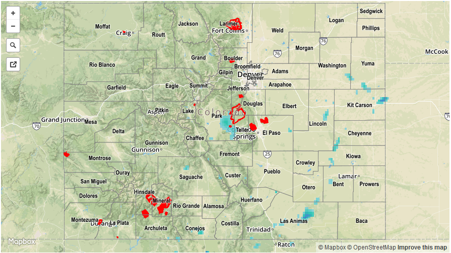
For a statewide look at 24-hour precipitation totals, please take a look at the Storm Total Precipitation map below.