Issue Date: Sunday, September 18th, 2016
Issue Time: 9:00 AM MDT
Summary:
Much of the state remained too dry and unfavorable for the production of showers/thunderstorms, leading to a fairly pleasant day for those locations. The exception to this rule was east of a surface trough, which was oriented northeast-to-southwest from Sterling to Alamosa. Better low-level moisture existed for those locations, resulting in good instability and fuel for isolated thunderstorms. Deep moisture lacked, however, keeping rain rates minimal. A shortwave disturbance aloft helped to kick off this activity, which produced a few reports of strong/severe weather:
Tornado (landspouts): 2 miles N of Cheyenne Wells (Cheyenne County), 1 mile W of Cheyenne Wells (Cheyenne County), 4 miles E of Cheyenne Wells (Cheyenne County)
0.88 inch hail: 1 mile W of Yuma (Yuma County)
0.50 inch hail: Yuma (Yuma County)
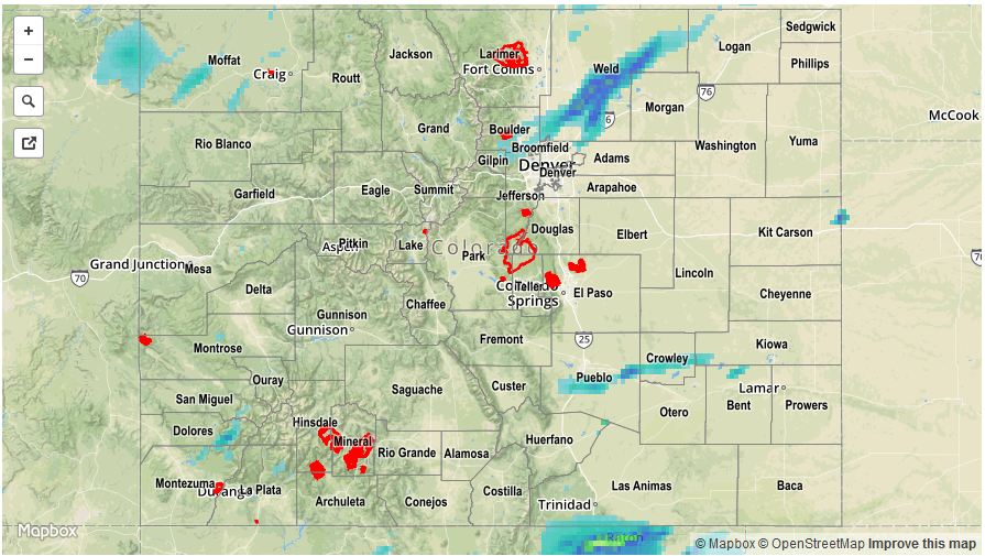
For a closer look at rainfall totals in your area, please see the STP map below for a look at 24-hour precipitation totals.